Silver Star and Ed’s Trail Loop
View Photos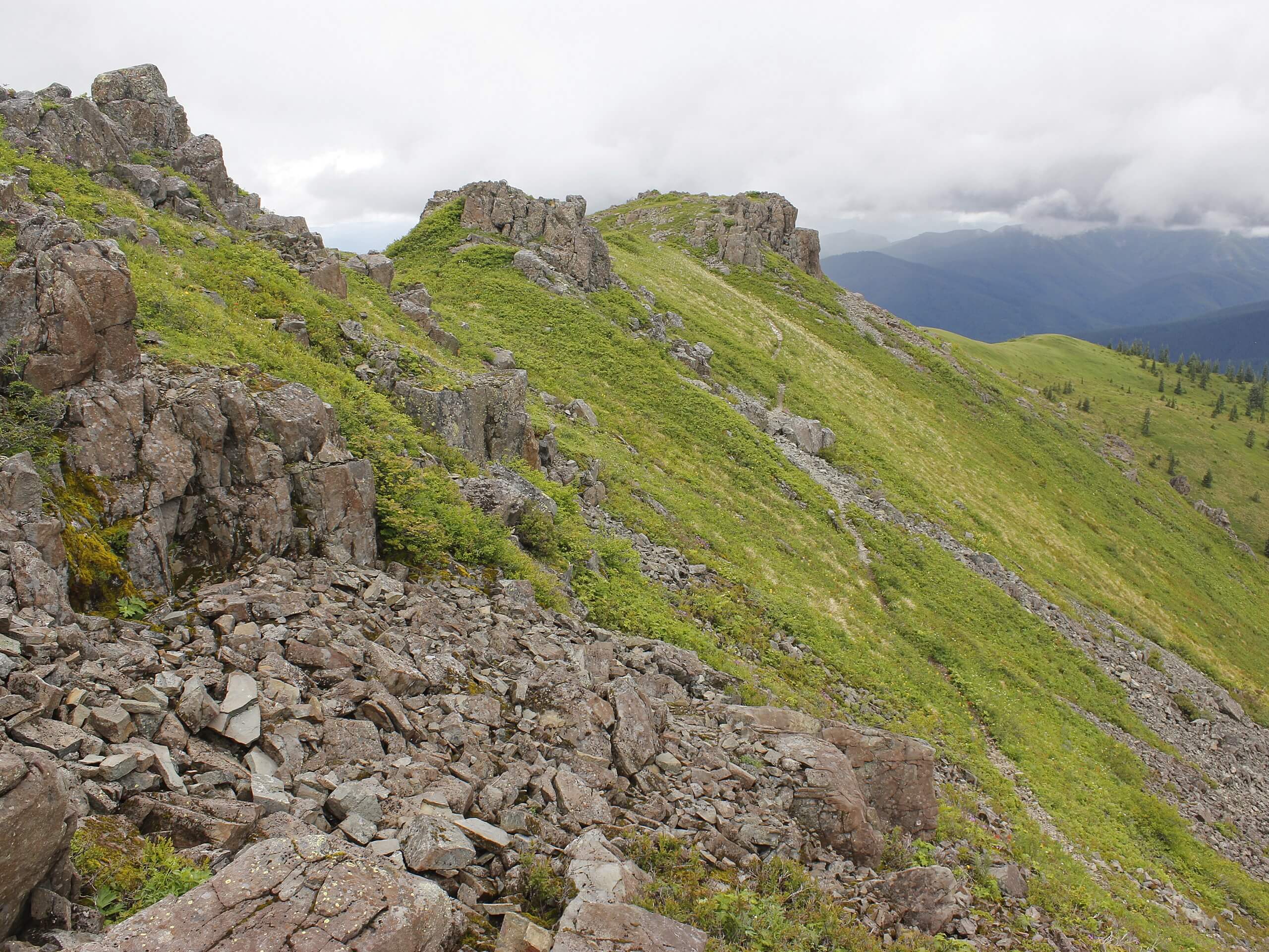
Silver Star and Ed’s Trail Loop
Difficulty Rating:
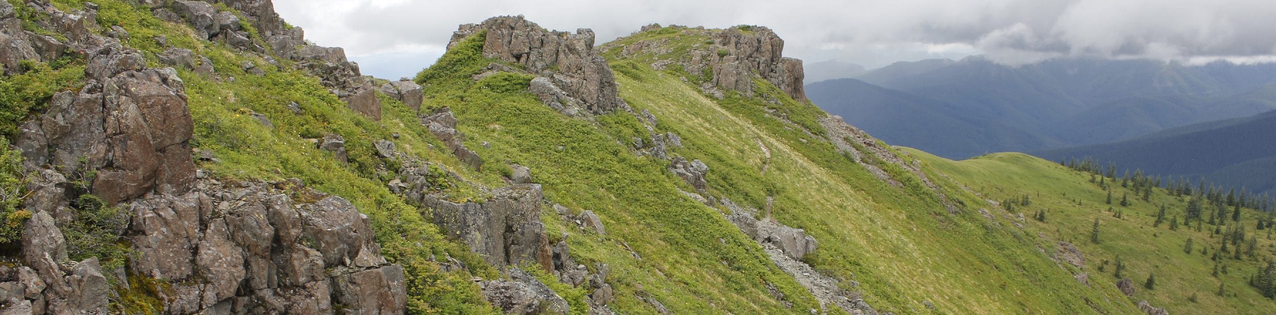
The Silver Star and Ed’s Trail Loop is a varied, interesting hike with great views. This 47.0mi hike has a bit of scrambling involved, but it’s rated as moderate overall. The views are excellent, but we don’t recommend this trail for the faint of heart, for dogs, or for kids. There are some steep sections with drop-offs to consider. Additionally, you’ll need a high-clearance vehicle to get to the trailhead. Expect heavy traffic on this hike.
Getting there
The trailhead for the Silver Star and Ed’s Trail Loop is at the end of Forest Road 4109.

About
| Backcountry Campground | No |
| When to do | May-November |
| Pets allowed | Yes - On Leash |
| Family friendly | Older Children only |
| Route Signage | Average |
| Crowd Levels | High |
| Route Type | Loop |
Silver Star and Ed’s Trail Loop
Elevation Graph
Weather
Silver Star and Ed’s Trail Loop Description
The loop to Silver Star Mountain on Ed’s Trail and Silver Star Trail is a fun trip with great scenery. We especially like this trail in the fall when the leaves are changing. Come prepared for steep sections, narrow drop-offs, and some light scrambling.
We recommend downloading your GPS track ahead of time as there’s no service for most at the trailhead. Additionally, you’ll likely need a high clearance vehicle to make it up the forest road to the trailhead.
Beginning from the trailhead, go left onto Ed’s Trail. Generally keep left at the junctions. The trail begins fairly mildly, but take your time navigating a narrow, steep section on the way to the base of Silver Star mountain. As you approach the mountain, go straight through the first junction, then keep left, then keep right. Ascend the peak, enjoy the views, then head back down to where the trail splits. Keep left onto Silver Star Trail. Things are a little less precarious on this side. Follow this trail back to the starting point, taking care not to veer off on one of the connecting side trails.
Similar hikes to the Silver Star and Ed’s Trail Loop hike

Ptarmigan Trail
Ptarmigan Trail is a 4.2mi moderate trail near the base of Mount Saint Helens. This trail is suitable…

Boundary West Trail
Boundary West Trail is a hike near Mount Saint Helens that doesn’t see much traffic, making it a nice pick…

Silver Creek Trail
Silver Creek Trail is a moderate hike in the Gifford Pinchot National Forest that is suitable for most skill levels.…
Comments