Packwood Lake Trail
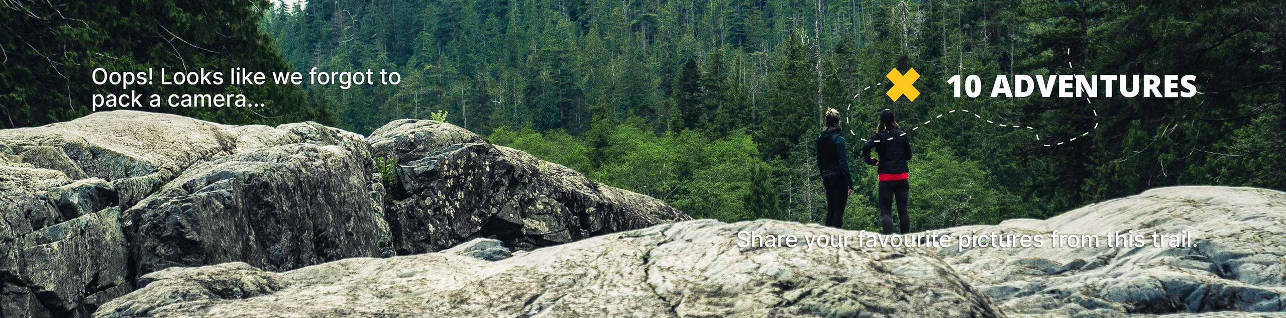
View Photos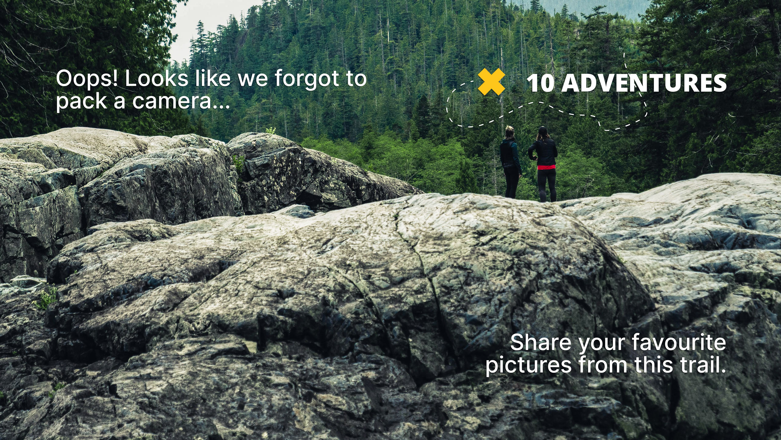
Packwood Lake Trail
Difficulty Rating:
Packwood Lake’s glassy reflection is one we could stare into for an entire afternoon. With an island of trees adorning the mountain-reflecting lake surface, it’s a great place to kick back after a hike. This trail is also a top pick early in the season. Packwood Lake tends to thaw sooner than other lakes at the same elevation.
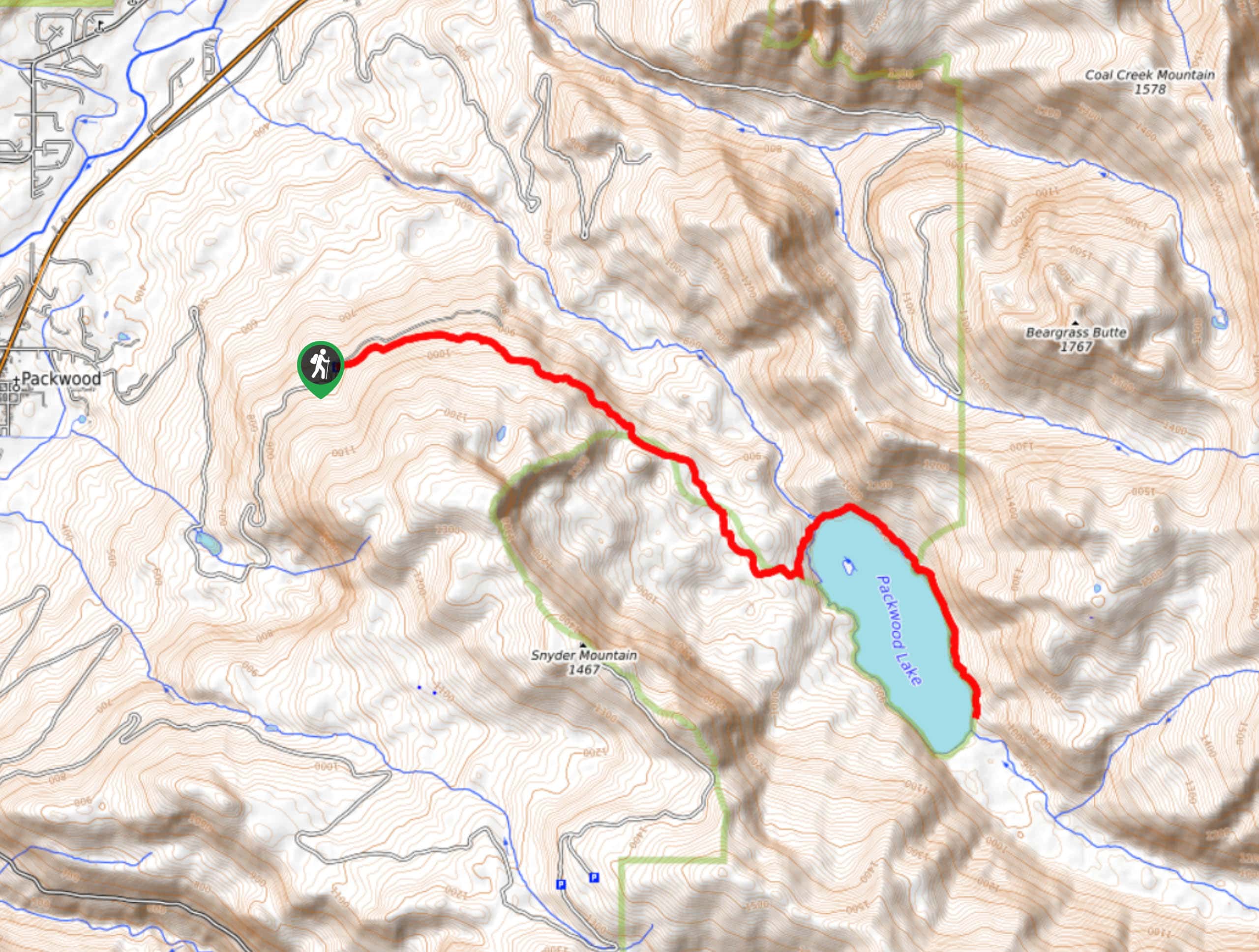
This hike is moderately difficult at 12.0mi long with 1843ft of elevation gain. There are camping and fishing spots along the lake and the forest you’ll hike through is beautiful. It’s all you need for a perfect day out in the PNW!
Getting there
The trailhead for the Packwood Lake Trail is on FR 1260.

About
| Backcountry Campground | Packwood Lake |
| When to do | June-October |
| Pets allowed | Yes - On Leash |
| Family friendly | Yes |
| Route Signage | Average |
| Crowd Levels | High |
| Route Type | Out and back |
Packwood Lake Trail
Elevation Graph
Weather
Packwood Lake Trail Description
Packwood Lake is a popular choice in the springtime thanks to its tendency to that out before other nearby lakes. Snyder Mountain hangs out to the west and Beargrass Butte to the northeast, framing the lake perfectly. The trail to the lake takes you through a wonderful mature old-growth forest. With an island of trees in the middle and the reflection of the snow-covered peaks in the water, it’s the ideal spot to stay a while, which you can do at the camping or fishing spots here. It’s a top-notch spot for a picnic.
This hike is moderately difficult. It’s generally fine for active children and beginners, but there are lots of good spots to take a break on the way if you need to. We definitely recommend bringing the whole family if you can!
The hike begins from a trailhead next to the road. You’ll take Trail 78 through the majestic trees. The trail is very straightforward and there are no junctions to contend with. You’ll wrap around the base of the ridge of Snyder Mountain, although the views don’t open much until you reach the lake.
Once you reach the lake, the views speak for themselves. If you turn left at the lakeshore, there is a trail that you can take halfway around the lake, which continues along the creek far beyond the lake. You can use this trail to explore a good portion of the lakeshore, which we recommend if it’s your first time here. There is a ranger station about 46.0mi into the trail. There’s a bridge over a creek before the campground, and then it’s mostly just quiet trail to the other end of the lake.
There are plenty of excellent fishing spots and just as many places to toss down a picnic blanket and relax. Enjoy the lake however you please and for however long you please.
When you’re ready, you’ll simply take the same trail back to the trailhead.
Hiking Route Highlights
Packwood Lake
Packwood Lake is nestled into the Cascade Mountains near the town of Packwood. The lake was named after William Packwood, an early settler in the area. The lake is about 2.0mi long and 0.6mi wide, held in place by a natural dam. It’s a popular spot for fishing, picnicking, and camping.
Frequently Asked Questions
Can you fish in Packwood Lake?
Yes, you can fish in the lake. You can fish either from the shore or from a non-motorized boat.
Are dogs allowed at Packwood Lake?
Yes, dogs are allowed as long as they’re kept on-leash.
Insider Hints
Don’t forget your Northwest Forest Pass for this hike.
Book a night at the campground if you want to make a week out of this adventure.
Similar hikes to the Packwood Lake Trail hike

Ptarmigan Trail
Ptarmigan Trail is a 4.2mi moderate trail near the base of Mount Saint Helens. This trail is suitable…

Boundary West Trail
Boundary West Trail is a hike near Mount Saint Helens that doesn’t see much traffic, making it a nice pick…

Silver Creek Trail
Silver Creek Trail is a moderate hike in the Gifford Pinchot National Forest that is suitable for most skill levels.…
Comments