Coldwater Lake via Lakes Trail
View Photos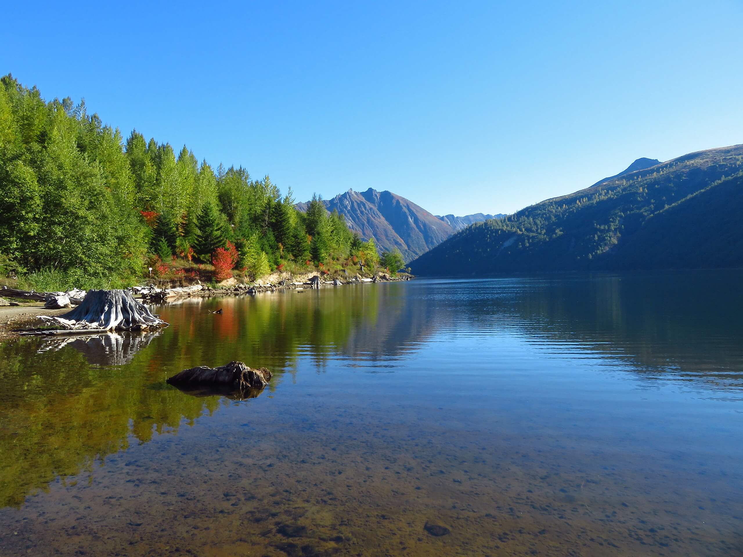
Coldwater Lake via Lakes Trail
Difficulty Rating:
The Lakes Trail is a popular pick for backpackers destined for the Mount Margaret Backcountry, but the out and back hike along the upper shore of Coldwater Lake is an ideal day hike for those exploring the region. This hike is 88.0mi long, but it can be shortened if you want an easier, faster adventure. Pack a picnic or grab the paddleboards if you want to continue the fun after your hike.
This trail is subject to overgrowth and occasionally is blocked by blowdown. We recommend long pants and a spirit of adventure.
Getting there
The trailhead for the Lakes Trail along Coldwater Lake is beside the boat launch on the lake off Coldwater Lake Road.

About
| Backcountry Campground | No |
| When to do | April-November |
| Pets allowed | Yes - On Leash |
| Family friendly | Yes |
| Route Signage | Average |
| Crowd Levels | High |
| Route Type | Out and back |
Coldwater Lake via Lakes Trail
Elevation Graph
Weather
Coldwater Lake via Lakes Trail Description
Coldwater Lake is a pleasant spot to spend an afternoon, especially a warm one. You can boat on the lake, set up a picnic in the well-built and expansive picnic area, play cards in the sun, or take a hike along the shore of the lake. The walk along Coldwater Lake on Lakes Trail is a small part of a longer trail leading into the backcountry, making it a nice, straightforward adventure suitable for all ages. This trail can be shortened if desired.
The trail can be overgrown in parts, so wearing long pants is recommended. There can also be blowdowns present, so take care climbing over.
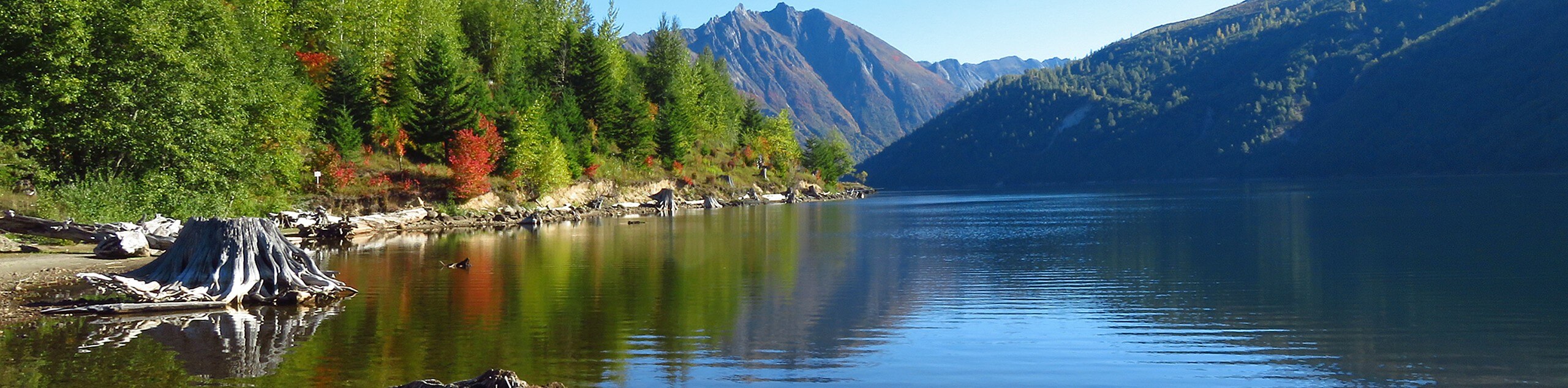
The hike begins near the boat launch. The best view of the lake is here, so take a moment to look out over the lake and the forest beyond.
The trail follows the northwestern edge of the lake. It’s mostly level to begin with, climbing very gently in some parts. You hug the lakeshore the entire way, with the view of the water and the mountain changing as you traverse the path.
Watch for small waterfalls as you walk, especially if you’re here after recent rain. In the fall, the colors can be quite splendid.
The trail eventually takes you out along Coldwater Creek before it terminates at a junction past the lake. Head back the same way, enjoying the plentiful lake access points as you go.
If you want to go further, there are trails up to Blastzone Butte and to some of the lakes and peaks further east of the lake that can be used.
Hiking Route Highlights
Coldwater Lake
Coldwater Lake sits on the border of Cowlitz and Skamania Counties in Washington State, having been created in 1980 when nearby Mount Saint Helens erupted after the Coldwater Creek was blocked with volcanic debris. The lake offers opportunities for hiking, picnicking, non-motorized boating, and fishing.
Frequently Asked Questions
Can you fish in Coldwater Lake?
Yes, you can fish in the lake. It’s no longer stocked, so the daily catch limit is one fish at least 16 inches long.
Is Coldwater Lake manmade?
No. Coldwater Lake is one of several lakes in the area that was created or enlarged by the eruption of Mount Saint Helens.
Can you boat on Coldwater Lake?
Non-motorized boating is permitted on the lake.
Insider Hints
Stop by the Coldwater Ridge Visitor Center for a panoramic view of the lake and mountains.
There is no pass or permit required for this trail.
Similar hikes to the Coldwater Lake via Lakes Trail hike

Ptarmigan Trail
Ptarmigan Trail is a 4.2mi moderate trail near the base of Mount Saint Helens. This trail is suitable…

Boundary West Trail
Boundary West Trail is a hike near Mount Saint Helens that doesn’t see much traffic, making it a nice pick…

Silver Creek Trail
Silver Creek Trail is a moderate hike in the Gifford Pinchot National Forest that is suitable for most skill levels.…
Comments