Cape Horn Loop Trail
View Photos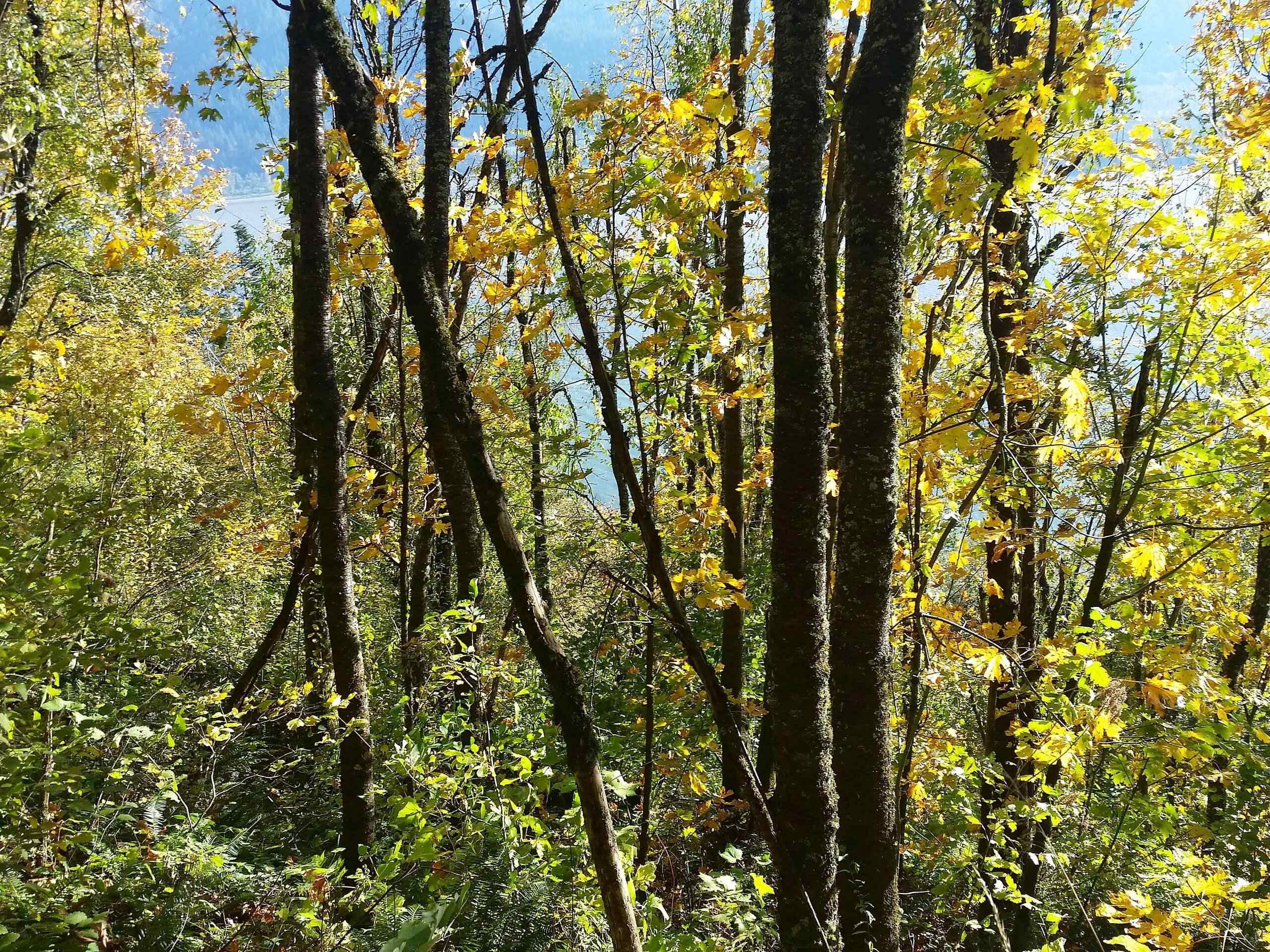
Cape Horn Loop Trail
Difficulty Rating:
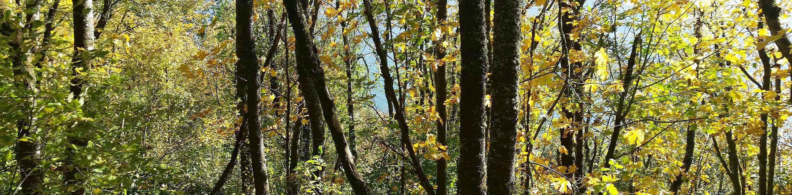
The Cape Horn Loop Trail is a stellar hike, and it’s bound to become busier and busier as locals and visitors alike discover how awesome it is. With 75.0mi of distance and 1588ft of elevation gain, it’s at a difficulty level that appeals to most: still accessible for older active kids and families but enough of a trip for stronger hikers too. The views of the Columbia River Gorge are excellent, and you’ll be able to appreciate the beautiful Cape Horn Falls.
There is a bit of steep climbing required near the falls, so we don’t recommend this trail for anyone who wouldn’t be comfortable completing the equivalent of several long, steep flights of stairs.
Note that there is an annual closure on this trail between February and July each year to protect peregrine falcon nesting sites. You’ll need to do this hike as an out and back when the closure is in effect.
Getting there
The trailhead for the Cape Horn Loop Trail is off Salmon Falls Road near the intersection with Highway 14.

About
| Backcountry Campground | No |
| When to do | March-October |
| Pets allowed | Yes - On Leash |
| Family friendly | Older Children only |
| Route Signage | Average |
| Crowd Levels | High |
| Route Type | Loop |
Cape Horn Loop Trail
Elevation Graph
Weather
Cape Horn Loop Trail Description
The Cape Horn Loop is a delightful trip with great views of the Columbia River Gorge and Cape Horn Falls. While there are some challenging sections, it’s a hike that appeals to many skill levels and ages. We love this hike and foresee it becoming more and more popular each year.
There is a seasonal closure on part of this trail each year between February and July. The closure protects peregrine falcon nesting habitats. You’ll need to complete it as an out and back hike while the closure is in effect.
The two sides of the loop are separated by Highway 14. Parts of the trail have been recently upgraded, making it a fairly smooth trip. You’ll want to hike the loop counterclockwise.
Begin from the parking area, looking for the trail on the west side of Salmon Falls Road across from the park and ride lot. You’ll go right at the first split, crossing a stream and beginning to climb. This is the steepest part of the trail, climbing about 800ft to the first viewpoint.
From this viewpoint, head up the switchbacks with great views of the gorge. You’ll walk over a summit and descend down to a junction with an old road. Go left here. When you reach the paved road, cross it and follow the trail to a gravel path.
About 0.2mi later, go left at the signed junction, heading to the Nancy Russell Overlook. It’s a great place to catch your breath.
Begin a descent down the signed switchbacks. Cross underneath Highway 14 and head down the spur trail to Cape Horn Falls when you see it. Back on the main trail, you’ll either hike past the Oak View Overlook (if doing the loop) or turn back and start your return from this point (if hiking out and back).
Switchback downhill, then begin an undulating section of trail to the bridge in front of Cape Horn Falls. You’ll exit the woods at Cape Horn Road, where you’ll walk another 13.0mi up to the trail sign, where you’ll turn left. Pass under Highway 14 and arrive back at the parking lot.
Hiking Route Highlights
Columbia River Gorge
Savor the views of the Columbia River Gorge on the Cape Horn Loop, admiring the river that slices through the mountains. On this trail, you’ll be able to make out Hamilton Mountain rising dramatically over the meandering river below.
Frequently Asked Questions
Do I need a pass for the Cape Horn Loop Trail?
No pass or permit is needed for this hike.
Is the Cape Horn Loop Trail free?
Yes, this hike is free.
Insider Hints
Download your GPS track ahead of time if you’re unfamiliar with this route. There are lots of junctions to mind.
Try to plan this hike for a clear day if you can.
Similar hikes to the Cape Horn Loop Trail hike

Ptarmigan Trail
Ptarmigan Trail is a 4.2mi moderate trail near the base of Mount Saint Helens. This trail is suitable…

Boundary West Trail
Boundary West Trail is a hike near Mount Saint Helens that doesn’t see much traffic, making it a nice pick…

Silver Creek Trail
Silver Creek Trail is a moderate hike in the Gifford Pinchot National Forest that is suitable for most skill levels.…
Comments