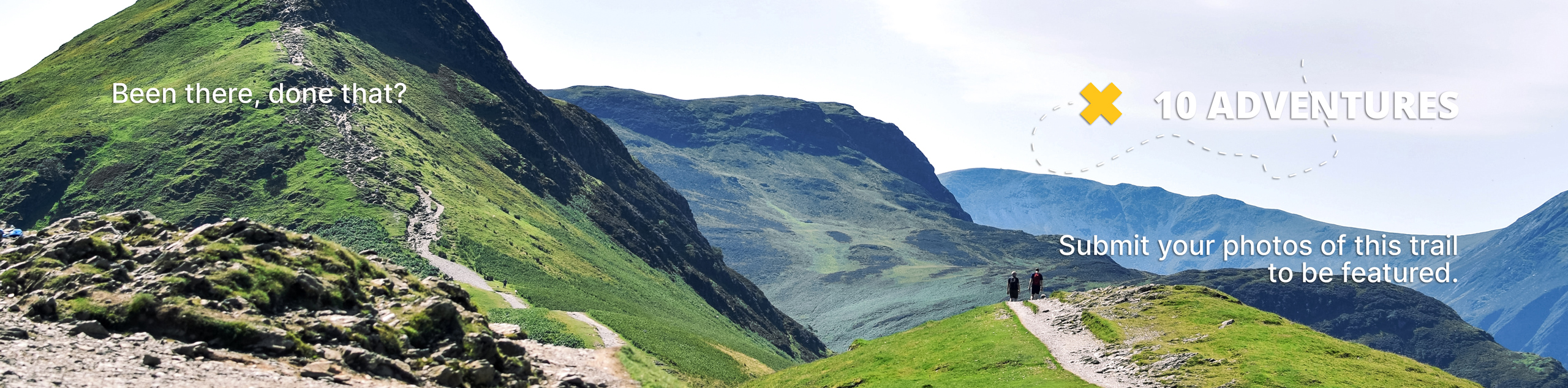
Upper Cheesman Canyon Trail
View Photos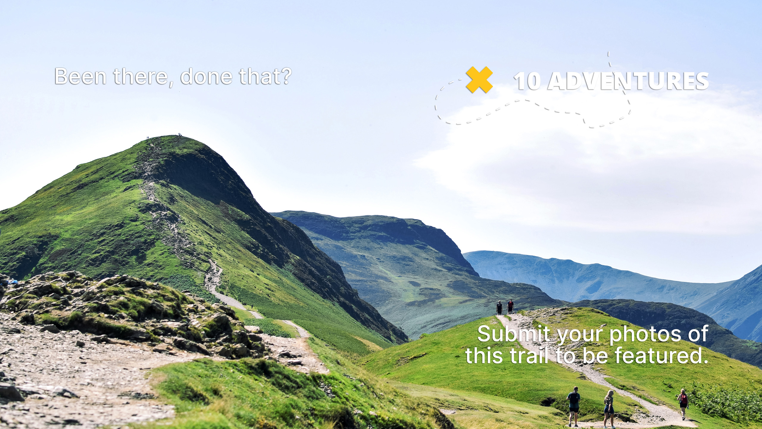
Upper Cheesman Canyon Trail
Difficulty Rating:
Head out into the wilderness and reconnect with nature as you travel the Upper Cheesman Canyon Trail. This excursion will guide hikers through pine forests, along granite outcroppings and through vast alpine meadows. Every step of the way you will be rewarded with incomparable Front Range vistas on the Upper Cheesman Canyon Trail.
Getting there
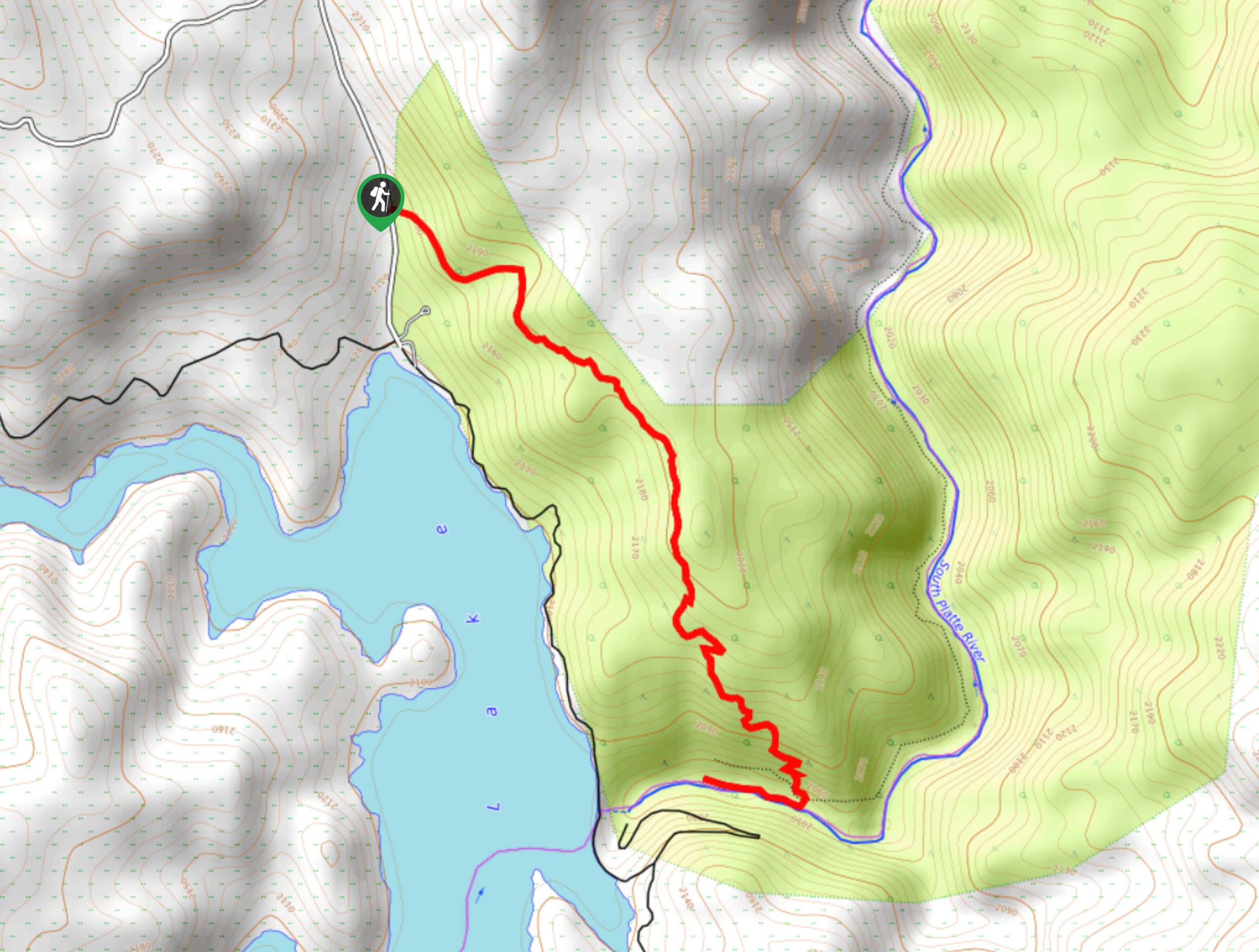
The Upper Cheesman Canyon Trail is accessed via the Wigwam Creek Road.

About
| Backcountry Campground | Dispersed backcountry camping, restrictions apply. |
| When to do | March-October |
| Pets allowed | Yes - On Leash |
| Family friendly | Yes |
| Route Signage | Average |
| Crowd Levels | High |
| Route Type | Out and back |
Upper Cheesman Canyon Trail
Elevation Graph
Weather
Upper Cheesman Canyon Hike Description
Enjoy views of the mountain ranges, alpine lakes, verdant woodlands, and running rivers from the Upper Cheesman Canyon Trail. This trek may be one of the most scenic hikes in the Pike National Forest. Be sure to pack your fishing gear and permit because the Cheesman Lake and the South Platte River are renowned fishing destinations in Colorado! Try your hand at some trout as you adventure through the wilderness. This path is heavily trafficked, but we find weekday adventures are significantly less busy.
When you’ve got your fishing gear all packed up and your hiking shoes laced, head out on the Upper Cheesman Canyon Trail. The initial segment of this excursion is steep, carefully navigate the tightly wound switchbacks through the dense woodlands. Ascend the forested path, and the trail will eventually plateau. As you climb the route, the tree coverage will become more sparse as you are guided through rock outcroppings. Hike past the immense boulders and into the meadowlands. From the meadows, the path will descend to Cheesman Lake. Enjoy the striking views of the shimmering lake and encompassing mountains as you descend the route.
Soon the trail will deliver you to the mouth of the South Platte River and the crystalline lake. Enjoy the scenic wilderness and notice the dozens of anglers that dot the shoreline. Revel in the beautiful sights, and when you are ready, retrace your steps back along the trail.
Similar hikes to the Upper Cheesman Canyon Trail hike

Miller Gulch Loop Trail
The Miller Gulch Loop Trail is a scenic meadowland adventure in the Pike National Forest. Hike through grassy meadows laden…

The Castle Hike
The Castle Hike is an exciting adventure up the steep, forested terrain to The Castle Rock. From atop the summit,…

Rutherford Trail
The Rutherford Hike is a charming nature walk in Georgetown Colorado. This secluded trail is a wonderful adventure the whole…
Comments