
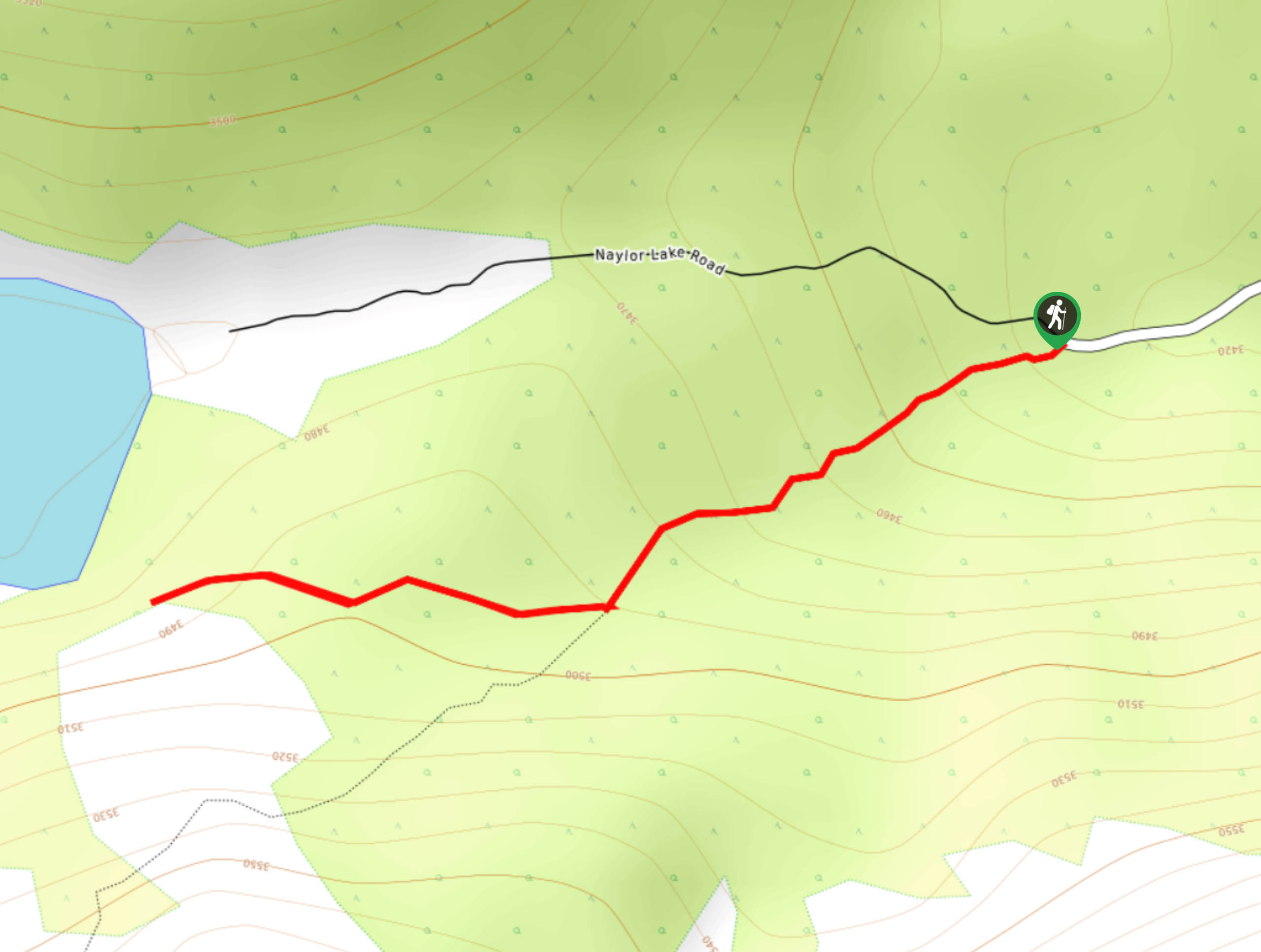
Naylor Lake Trail
View Photos
Naylor Lake Trail
Difficulty Rating:
The Naylor Lake Trail is a scenic adventure up to a shimmering alpine lake. This trail packs a punch! Travel through several typographies on your short journey up to Naylor Lake. The whole family will enjoy this stimulating excursion into the wilderness.
Getting there
Access the Naylor Lake Trail via the Naylor Lake Road of Guanella Pass Road.

About
| Backcountry Campground | Dispersed Backcountry Camping, restrictions apply. |
| When to do | June-October |
| Pets allowed | Yes - On Leash |
| Family friendly | Yes |
| Route Signage | Average |
| Crowd Levels | High |
| Route Type | Out and back |
Naylor Lake Trail
Elevation Graph
Weather
Naylor Lake Hike Description
The Naylor Lake Trail is a popular nature walk in the Arapaho National Forest. A crowd favorite, this hike is highly trafficked. If you head out into the wilderness on the weekend, be prepared to share the route. If you hope to avoid the crowds, consider adventuring up to the lake during the weekdays! Note that the road up to the trailhead is rough and rugged, so ensure your vehicle has high ground clearance.
Begin your adventure up the Naylor Lake Trail from the carpark. Take the route signposted “Silver Dollar Lake Trail”. Track southwest along the dirt path. This trail will climb towards the lake and pass through several terrains. Begin by hiking through the meadow before it guides you through sparse tree coverage. Enjoy the impressive mountainous scenery as you travel out of the tree shade and ascend the rocky scree to Naylor Lake.
Culminating at the lake, this stunning nature trail will reward you with impressive vistas.Enjoy the views of the shimmering lake and its flanking snow-dusted peaks. If you wish to lengthen your adventure, continue along the Silver Dollar Trail up to Silver Dollar Lake and Murry Reservoir. When you are done exploring the mountain cirque and alpine lakes, simply retrace your steps along the trail.
Similar hikes to the Naylor Lake Trail hike

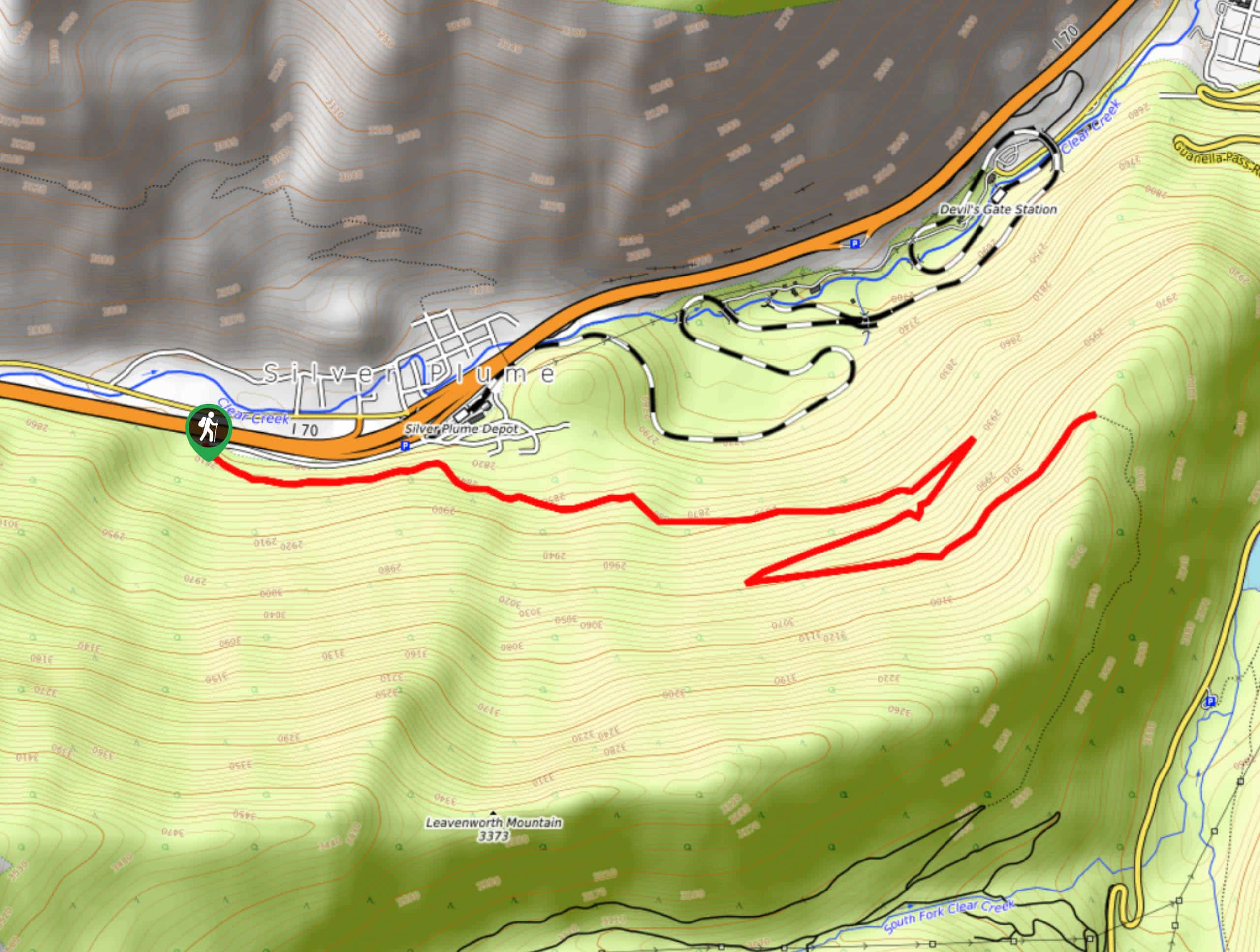
Rutherford Trail
The Rutherford Hike is a charming nature walk in Georgetown Colorado. This secluded trail is a wonderful adventure the whole…
Pavilion Point Hike
The Pavilion Point Hike is an awesome adventure that the whole family can enjoy. Near Silver Plume Train Depot, kids…
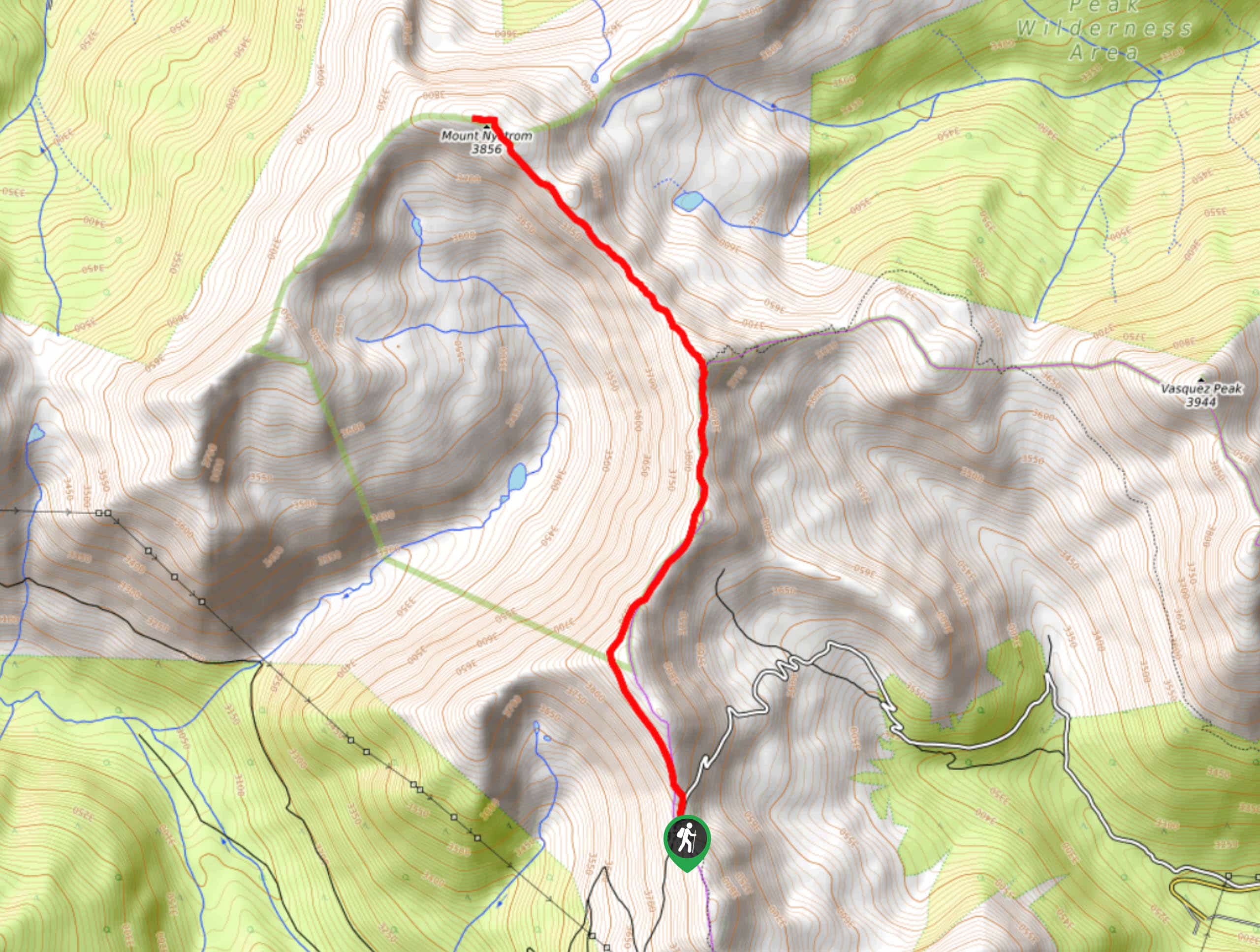
Mount Nystrom Trail
The Mount Nystrom Trail is an exciting adventure above the clouds. Hike the exposed path to the summit and enjoy…
Comments