Square Top Mountain Trail
View Photos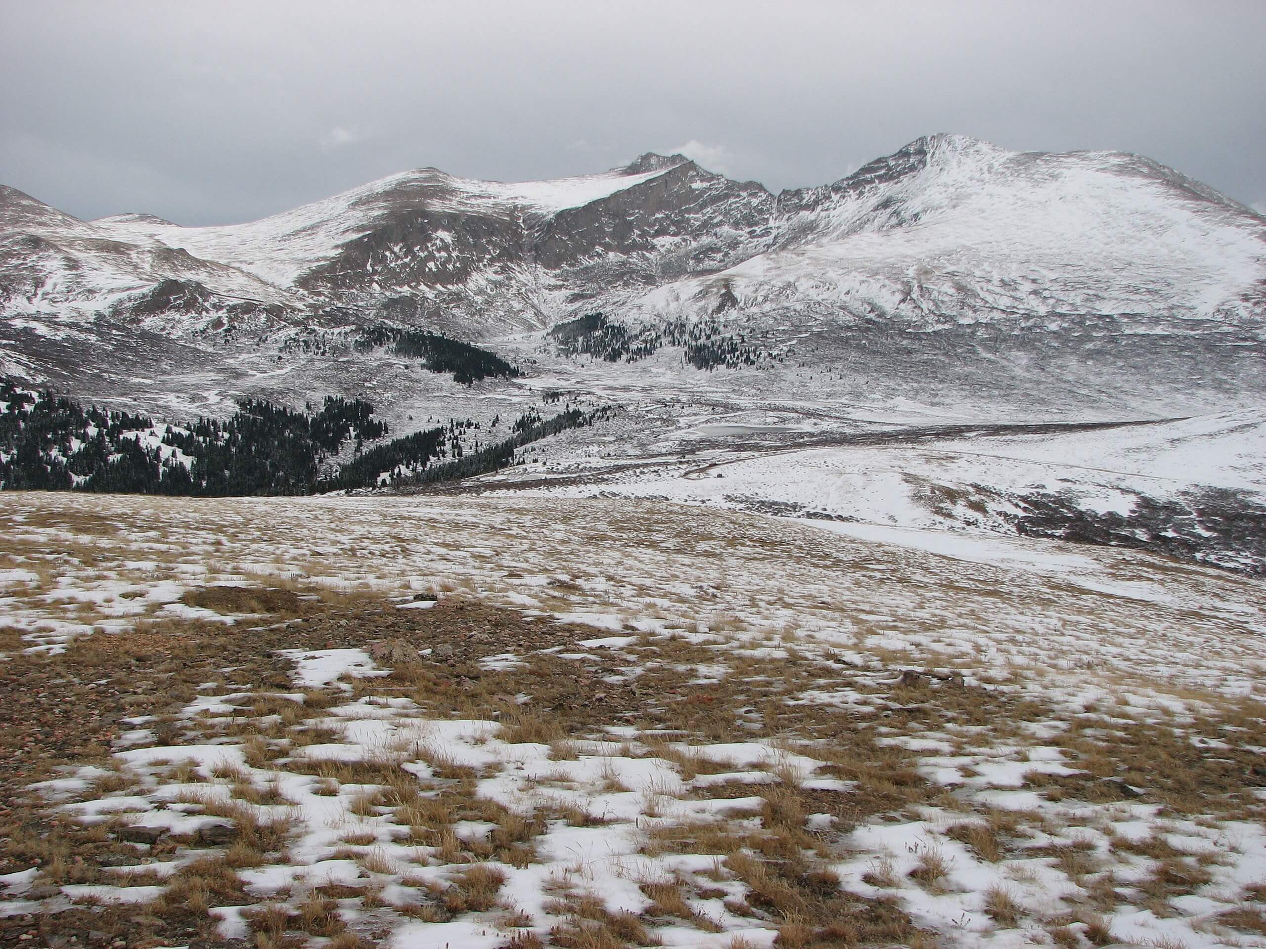
Square Top Mountain Trail
Difficulty Rating:
Avoid the crowds of the neighboring 14er hikes. The Square Mountain Hike is an isolated hidden gem that provides the same, if not better, dumbfounding mountainous panoramas than its busier counterparts. Hike up the meadow trail, past crystalline alpine lakes and up the rocky summit. This trail is one of a kind, and you are going to want to add it to your Colorado peaks itinerary—right now!
Getting there
Your adventure up the Square Top Mountain Trail begins at the Guanella Summit Trailhead off of the Guanella Pass Road.

About
| Backcountry Campground | Dispersed Camping in Selective Ares, see rules and regulations. |
| When to do | May-October |
| Pets allowed | Yes - On Leash |
| Family friendly | No |
| Route Signage | Average |
| Crowd Levels | High |
| Route Type | Out and back |
Square Top Mountain Trail
Elevation Graph
Weather
Square Top Mountain Hike Description
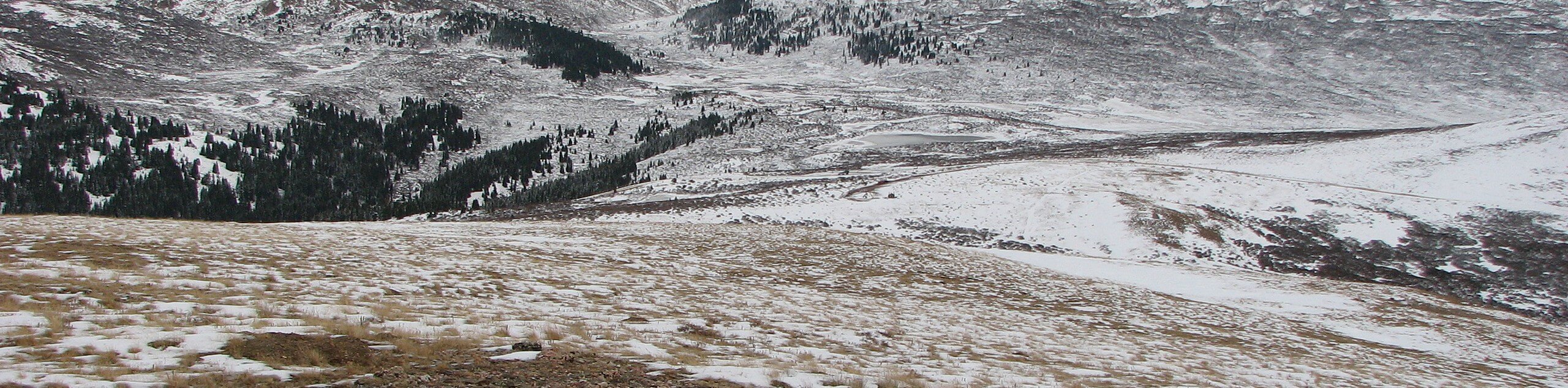
So named for its unusually flat summit, the Square Top Mountain excursion is like no other. This challenging adventure is well worth breaking a sweat, and you will totally understand why when you summit the peak. The Square Top Mountain Trail is demanding in sections. Be prepared to scramble up a rocky scree to the summit and expect inclement weather at the top. Check the weather before you begin your hike to avoid getting caught in an afternoon storm. If you are hiking in the fall or winter, consider microspikes and trekking poles to help you navigate the slippery snow-covered rocks.
Once you lace up your hiking boots and you are ready to roll, begin your hike up to Square Top Mountain from the Guanella Summit Trailhead. Venture southwest on the South Park Trail. Hike along the meadowed path that is abundant with alpine willows and wildflowers in the warmer months. From the exposed path you will be able to bask in sight of the encompassing snow-capped peaks and subalpine forests. Trek along the fairly level path. You will eventually begin a gradual ascent towards Square Top’s Twin Lakes. Enjoy the shimmering alpine lakes and explore their shorelines before beginning the steep ascent up to Square Top Summit.
Shortly after departing the lakes, you will meet a junction, veer right onto Square Top Mountain Trail. This is the final segment of the hike. This section is steep and rocky, mind your footing on loose rocks. Scramble up the steep path up to Square Top Mountain’s summit. Admire the 360-degree panoramic views from the plateau. See Argentine Peak in the north across the rocky ridge. Revel in the impressive scenery of the Front Range before descending the summit and retracing your steps back to the parking lot.
Similar hikes to the Square Top Mountain Trail hike

Hankins Pass Hike
The Hankins Pass Hike is a quintessential adventure across the Lost Creek Wilderness. The hike demonstrates the diversity of the…

Miller Gulch Loop Trail
The Miller Gulch Loop Trail is a scenic meadowland adventure in the Pike National Forest. Hike through grassy meadows laden…

The Castle Hike
The Castle Hike is an exciting adventure up the steep, forested terrain to The Castle Rock. From atop the summit,…
Comments