Seaman Reservoir Trail
View Photos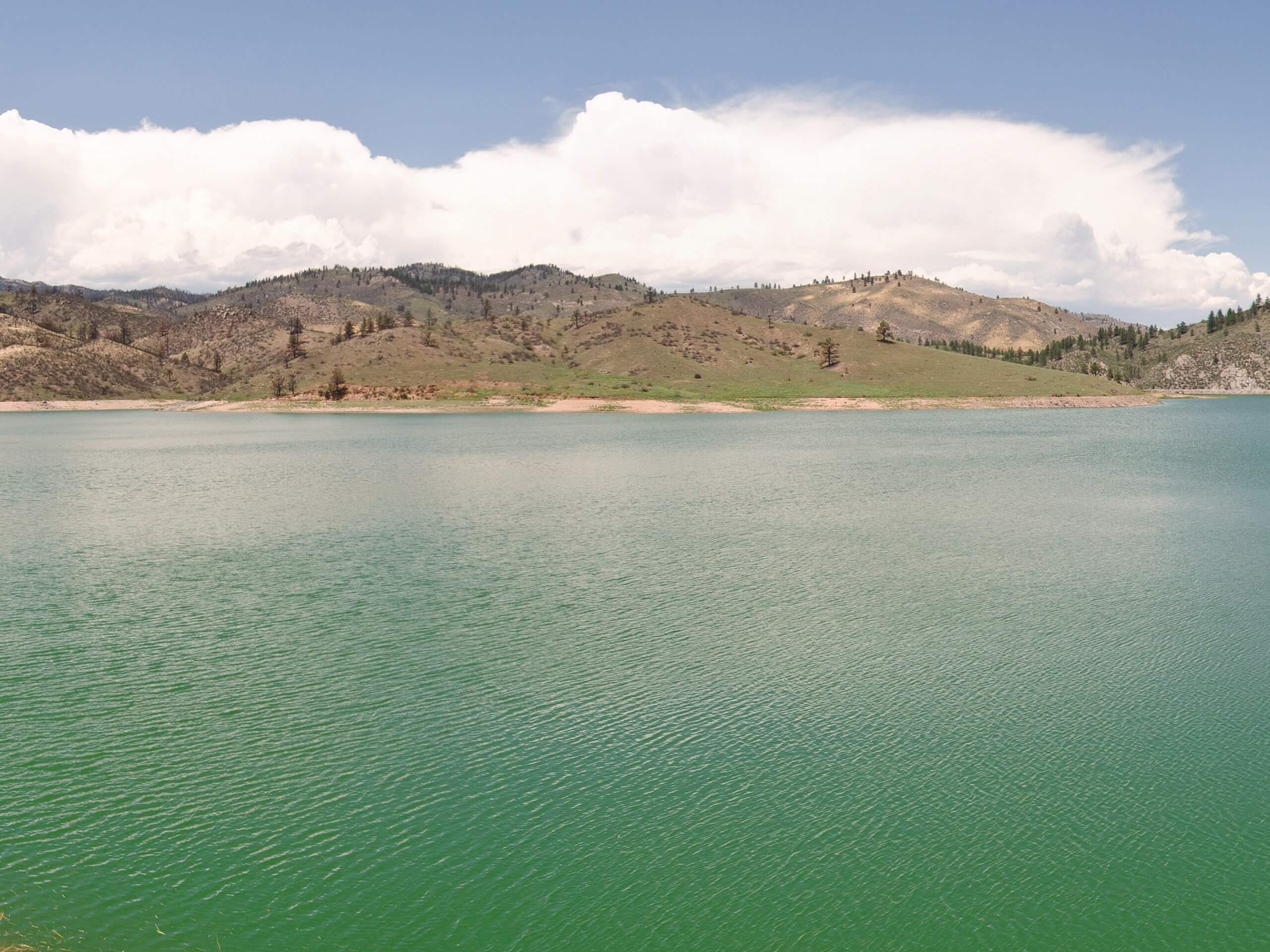
Seaman Reservoir Trail
Difficulty Rating:
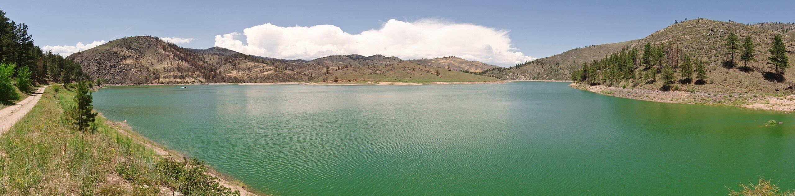
Hike along the Seaman Reservoir Trail and enjoy the stunning mountainous landscape that hem its shores. Hike up the North Fork Cache La Poudre River before summiting the dam to the reservoir. This trail is great for all skill levels and kids! Kids will especially enjoy the grandeur of the dam and its rushing waters.
Getting there
Located within the Gateway Natural Area, the Seaman Reservoir Trail is located off Highway 14.

About
| Backcountry Campground | No |
| When to do | April-October |
| Pets allowed | Yes - On Leash |
| Family friendly | Yes |
| Route Signage | Average |
| Crowd Levels | High |
| Route Type | Out and back |
Seaman Reservoir Trail
Elevation Graph
Weather
Seaman Reservoir Hike Description
The Seaman Reservoir Hike is an impressively diverse trail that the whole family will enjoy. Hike along the Cache La Poudre River up to an impressive dam and around the shores of a blue-hued reservoir. This hike truly covers it all. Though this trail is family friendly, it is worth noting that there are steep sections of the path, but they trek up well-maintained routes, so they are easily manageable. Located within the Gateway Natural Area, visitors are required to purchase a permit. These cost typically around $6USD.
Begin your hike up the Seaman Reservoir Trail from the Gateway’s parking lot. From the carpark, track southeast on the Wintersteen Trail and over the Cache La Poudre River. Maintain along the Wintersteen Trail as it guides you along the riverbank and across another bridge. Cross the river again before the path curves northwest towards the dam. Hike the steep trail up the side of the dam. Summit the dam and you will be rewarded with expansive views of the reservoir and stunning vistas of the mountains that sit in the background.
At this point you will meet an intersection, stay right and you will merge onto the Seaman Trail. Hike this path along the shores of the reservoir and spot anglers fishing in the waters. Eventually, you will confront two other junctions. At the first one, stay left and at the second one, veer right. You will know you’ve come to the end of the path when you meet a diving rock. This pronounced rock sticks out of the landscape like a shore thumb, and it is a very popular jumping rock.
Dip your toes in the reservoir’s cold water and enjoy the stunning views before retracing your steps back to the parking lot.
Similar hikes to the Seaman Reservoir Trail hike

Miller Gulch Loop Trail
The Miller Gulch Loop Trail is a scenic meadowland adventure in the Pike National Forest. Hike through grassy meadows laden…

The Castle Hike
The Castle Hike is an exciting adventure up the steep, forested terrain to The Castle Rock. From atop the summit,…

Rutherford Trail
The Rutherford Hike is a charming nature walk in Georgetown Colorado. This secluded trail is a wonderful adventure the whole…
Comments