Rosalie Trail
View Photos
Rosalie Trail
Difficulty Rating:
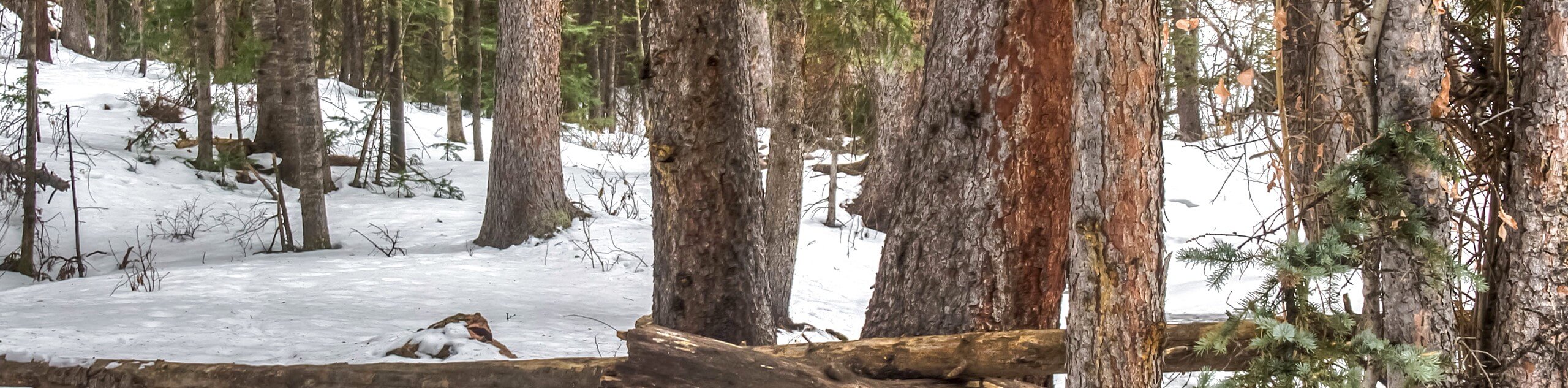
The Rosalie Trail is reserved for experienced and adventurous hikers. Travel from the east end of the Mount Evans Wilderness all the way over the west. Trek through the diverse terrain as you hike the trail nestled between some of the most impressive snow-capped Front-Range peaks. This epic adventure will reward you with new scenery every step of the way as you hike through a mountain saddle.
Getting there
Embark on your adventure along the Rosalie Trail from the Rosalie Trailhead at the end of County Road 43, past the Deer Creek Campground.

About
| Backcountry Campground | Dispersed Backcountry Camping, restrictions apply. |
| When to do | June-November |
| Pets allowed | Yes - On Leash |
| Family friendly | No |
| Route Signage | Average |
| Crowd Levels | Moderate |
| Route Type | One Way |
Rosalie Trail
Elevation Graph
Weather
Rosalie Hike Description
What could be better than a point-to-point trail? Hike the Rosalie Trail through un-repeating scenery across the Mount Evans Wilderness. Note that this path has several merging and intersecting trails, so some sections of the route may be busier than others. It is also crucial to remember to leave a car or arrange pick up at the endpoint off Guanella Pass Road. The last thing you will want to do after a long day of hiking is deal with transportation. There are several streams along this path to filter water and for your pup to rehydrate. If you do not have a filter, make sure to pack plenty of water. Additionally, the ever-changing terrain along this path means diverse weather conditions, so wear plenty of layers!
Begin your adventure from the Rosalie Trailhead. From the trailhead, track along the Rosalie Trail along Deer Creek. Hike through the forest gulch and admire the towering aspen and pine trees. Hike up the valley, and you will eventually meet a junction, stay straight here. Continue along Rosalie Trail, traveling along the saddle between Rosalie and Logan Peak before gently descending into the Abyss Lake gulch. Ignore the intersecting paths and follow the route back up into the woodlands. As you gain elevation, the tree coverage will become sparse. Enjoy the views from the exposed trail and hike to Guanella Pass Road.
From the trail’s end, you will enjoy expansive views of the snow-dusted peaks. See Mount Bierstadt in the east and Square Top Mountain in the west. Pat yourself on the back and appreciate the challenging journey you just completed before taking off.
Similar hikes to the Rosalie Trail hike

Hankins Pass Hike
The Hankins Pass Hike is a quintessential adventure across the Lost Creek Wilderness. The hike demonstrates the diversity of the…

Miller Gulch Loop Trail
The Miller Gulch Loop Trail is a scenic meadowland adventure in the Pike National Forest. Hike through grassy meadows laden…

The Castle Hike
The Castle Hike is an exciting adventure up the steep, forested terrain to The Castle Rock. From atop the summit,…
Comments