Rosalie Trail via Tanglewood
View Photos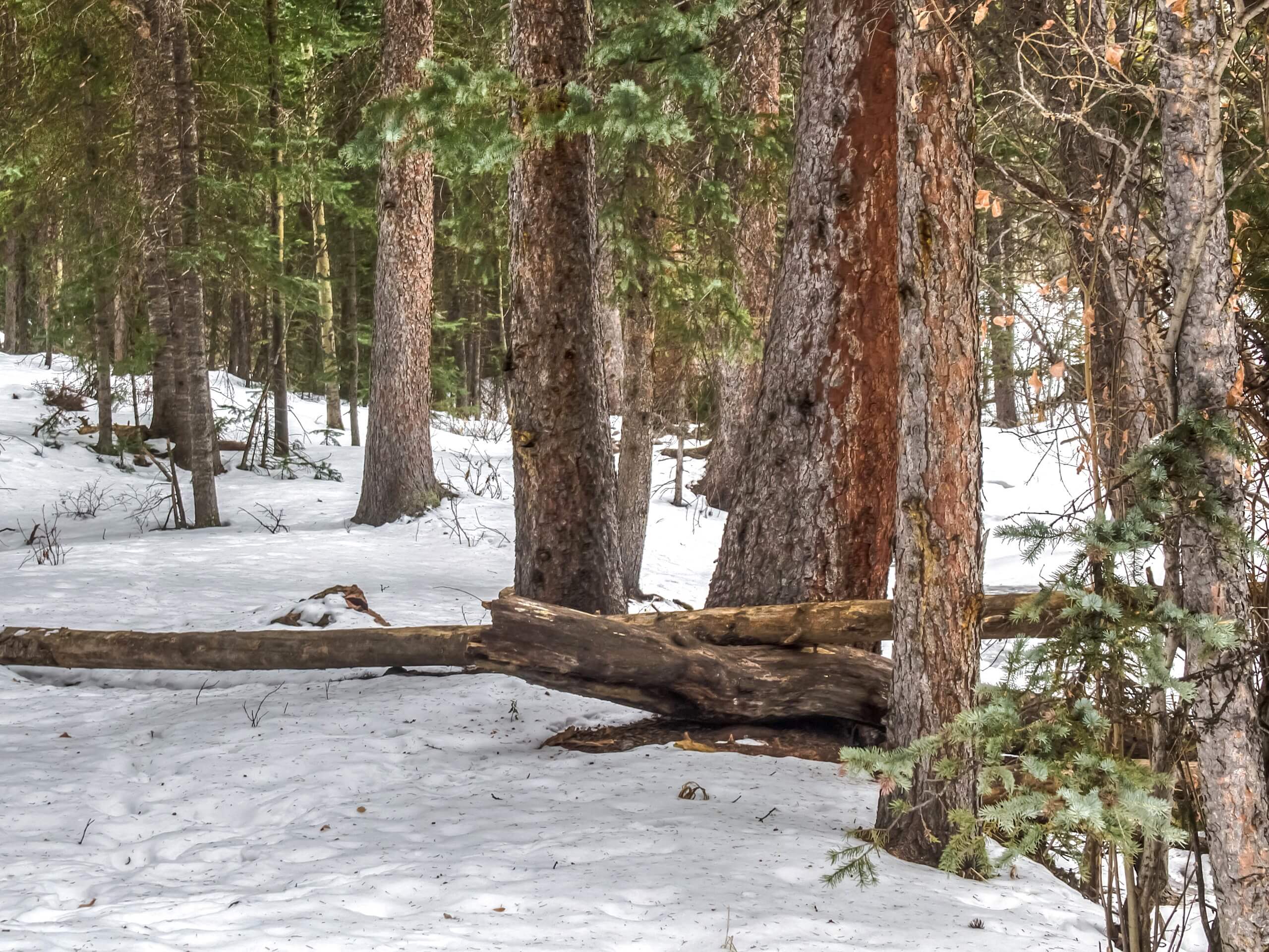
Rosalie Trail via Tanglewood
Difficulty Rating:
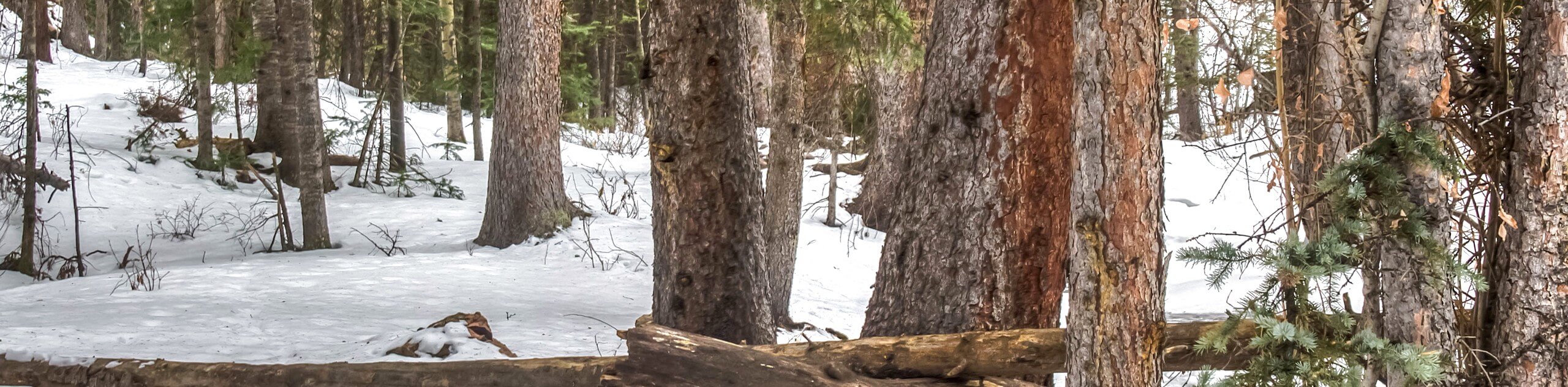
The Rosalie Trail via Tanglewood adventure is reserved for the intrepid spirits. This primitive trail will guide you through the dense woodlands to an overlook of Deer Creek. Immerse yourself in nature and let that adventurous sense attempt to navigate the unmarked trail. Though primitive, this route is unforgettably beautiful.
Getting there
The Rosalie Trail via Tanglewood Hike is accessed at the end of County Road 43 past Deer Creek Campground.

About
| Backcountry Campground | Dispersed backcountry camping, restrictions apply. |
| When to do | April-October |
| Pets allowed | Yes - On Leash |
| Family friendly | Yes |
| Route Signage | Poor |
| Crowd Levels | Moderate |
| Route Type | Out and back |
Rosalie Trail via Tanglewood
Elevation Graph
Weather
Rosalie Trail via Tanglewood Hike Description
This forestland adventure is awesome and will impress those seeking a secluded wooded trail. If you are seeking mountain vistas, then we wouldn’t recommend this shaded path. The Rosalie Trail via Tanglewood route will guide you through a mixed aspen and pine forest to an overlook of Deer Creek. If you hike this path in the late fall, you may get the odd Front Range view between the falling foliage. Though you can venture this hike year-round, the autumn views are incomparable. Enjoy the vibrant yellow aspens towering above as you trek the woodland path.
From the parking lot, track the route signposted as the Tanglewood Trail. Cross Deer Creek and begin your ascend into the woods. Track up the forested gulch and enjoy the strikingly vibrant aspens. Hike up the valley and you will eventually meet a junction. At the intersection, you will want to take a sharp left down the primitive Rosalie Trail. This is where most of the confusion begins, use the trail GPS to help to navigate the unmarked path. Find the primitive route and track southwest. Tree coverage will be a bit sparser along this trail so you may get the odd mountain view. Hike this path until you meet the trail’s end overlooking Deer Creek.
Enjoy the meditative sounds of the running stream before beginning your return. To get back to the trailhead, retrace your steps along the path back to the parking lot. Ensure to take a hard right back down the Tanglewood Trail or you will mistakenly lengthen your excursion.
Similar hikes to the Rosalie Trail via Tanglewood hike

Miller Gulch Loop Trail
The Miller Gulch Loop Trail is a scenic meadowland adventure in the Pike National Forest. Hike through grassy meadows laden…

The Castle Hike
The Castle Hike is an exciting adventure up the steep, forested terrain to The Castle Rock. From atop the summit,…

Rutherford Trail
The Rutherford Hike is a charming nature walk in Georgetown Colorado. This secluded trail is a wonderful adventure the whole…
Comments