
North Fork Trail
View Photos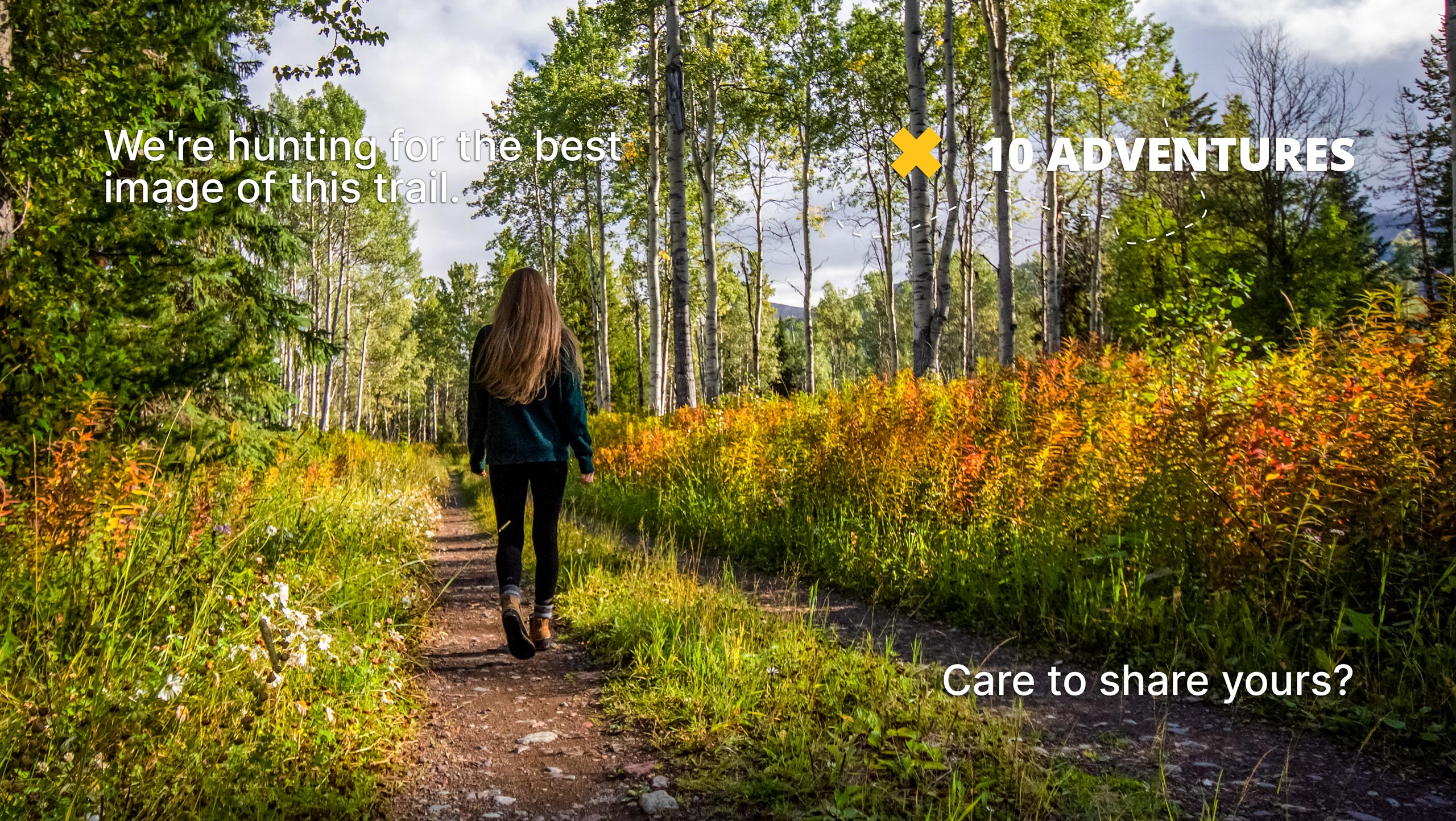
North Fork Trail
Difficulty Rating:
Hike up a forested river valley from the Comanche Peak Wilderness into the Rocky Mountain National Park along the North Fork Trail. This diverse hike will guide you up the scenic canyon of the North Fork Big Thompson River. Enjoy the mediative ambiance of the running river and the wind whistling through the towering trees.
Getting there
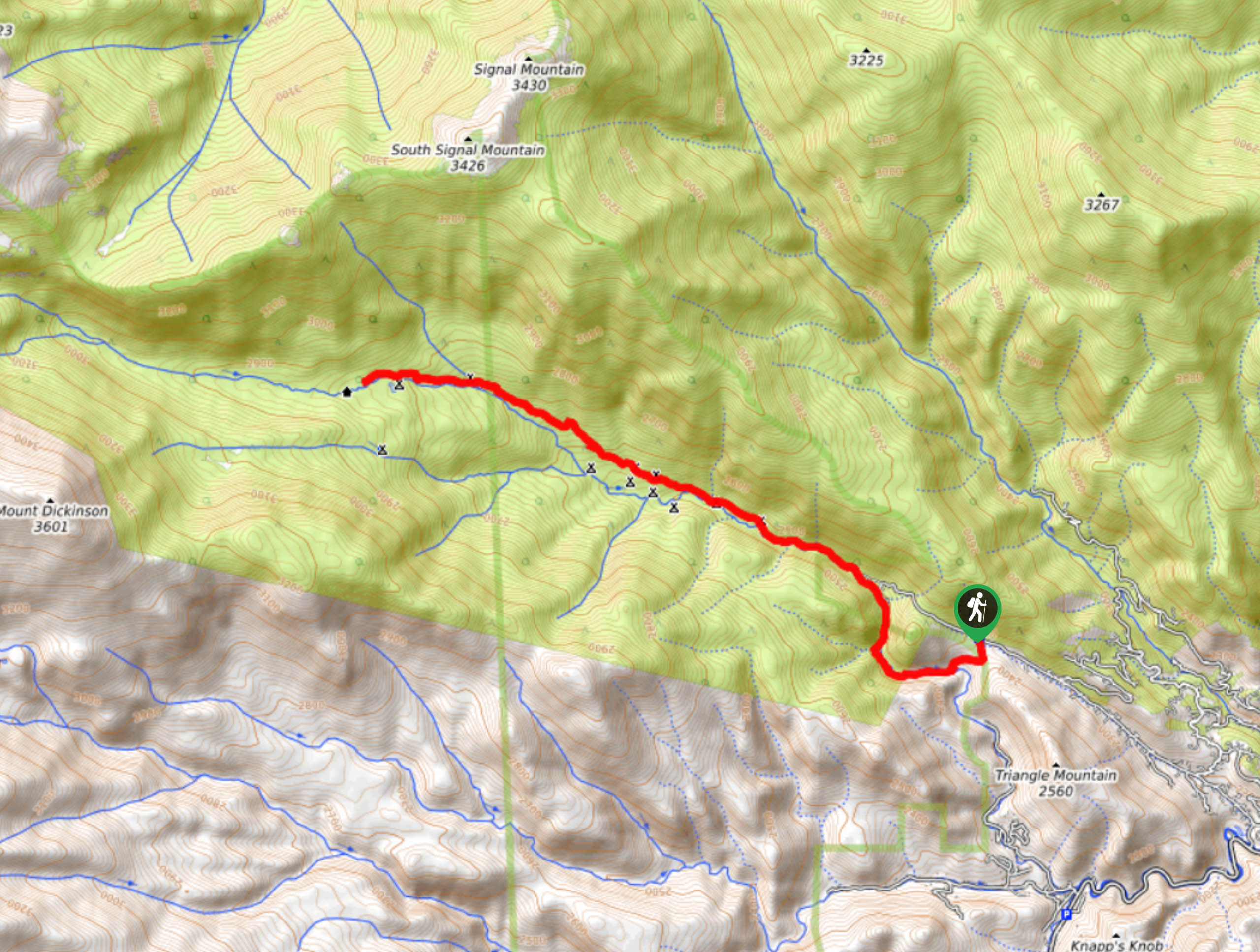
The North Fork Trail departs from the Dunraven Trailhead off the Dunraven Glade Road.

About
| Backcountry Campground | Designated dispersed campsites along the trail. |
| When to do | February-November |
| Pets allowed | Yes - On Leash |
| Family friendly | Older Children only |
| Route Signage | Average |
| Crowd Levels | High |
| Route Type | Out and back |
North Fork Trail
Elevation Graph
Weather
North Fork Trail Description
The North Fork Trail adventure can be completed as a challenging day hike or broken up into a backpacking excursion. Numerous designated dispersed campsites line the path, making it easy for a spontaneous set up. Pack your gear, and if you are feeling it, then set up shop and immerse yourself in nature. This adventure is a crowd favorite because of its designated sites and its several connecting trails within the Rocky Mountain National Park. Hike this route as the beginning segment of a lengthy backpacking expedition, or don’t. Either way make sure you pack plenty of water or a water filter and snacks to refuel.
Begin your journey along the North Fork Trail from the Dunraven Glade Trailhead. Take the North Fork Trail west and it will intersect with a creek before curving north. Follow the North Fork Trail as it guides you along the river’s edge, and up the forested canyon. Hike up the vale, navigating several stream crossings. You will begin to notice the dispersed campsites as you travel up the trail. Climb up the valley and through wildflower dotted meadows as you enter the Rocky Mountain National Park. As you ascend the path, the trail will become increasingly exposed as the tree coverage thins. Hike up the route and you will pass the small Kettle Tarn Lake.
You know you will have reached your turnaround point when you encounter the Ranger Cabin. If your adventure is complete, retrace your steps down the North Fork Trail all the way back to the carpark.
Similar hikes to the North Fork Trail hike

Hankins Pass Hike
The Hankins Pass Hike is a quintessential adventure across the Lost Creek Wilderness. The hike demonstrates the diversity of the…

Miller Gulch Loop Trail
The Miller Gulch Loop Trail is a scenic meadowland adventure in the Pike National Forest. Hike through grassy meadows laden…

The Castle Hike
The Castle Hike is an exciting adventure up the steep, forested terrain to The Castle Rock. From atop the summit,…
Comments