Loch Lomond to Berthoud Pass Hike
View Photos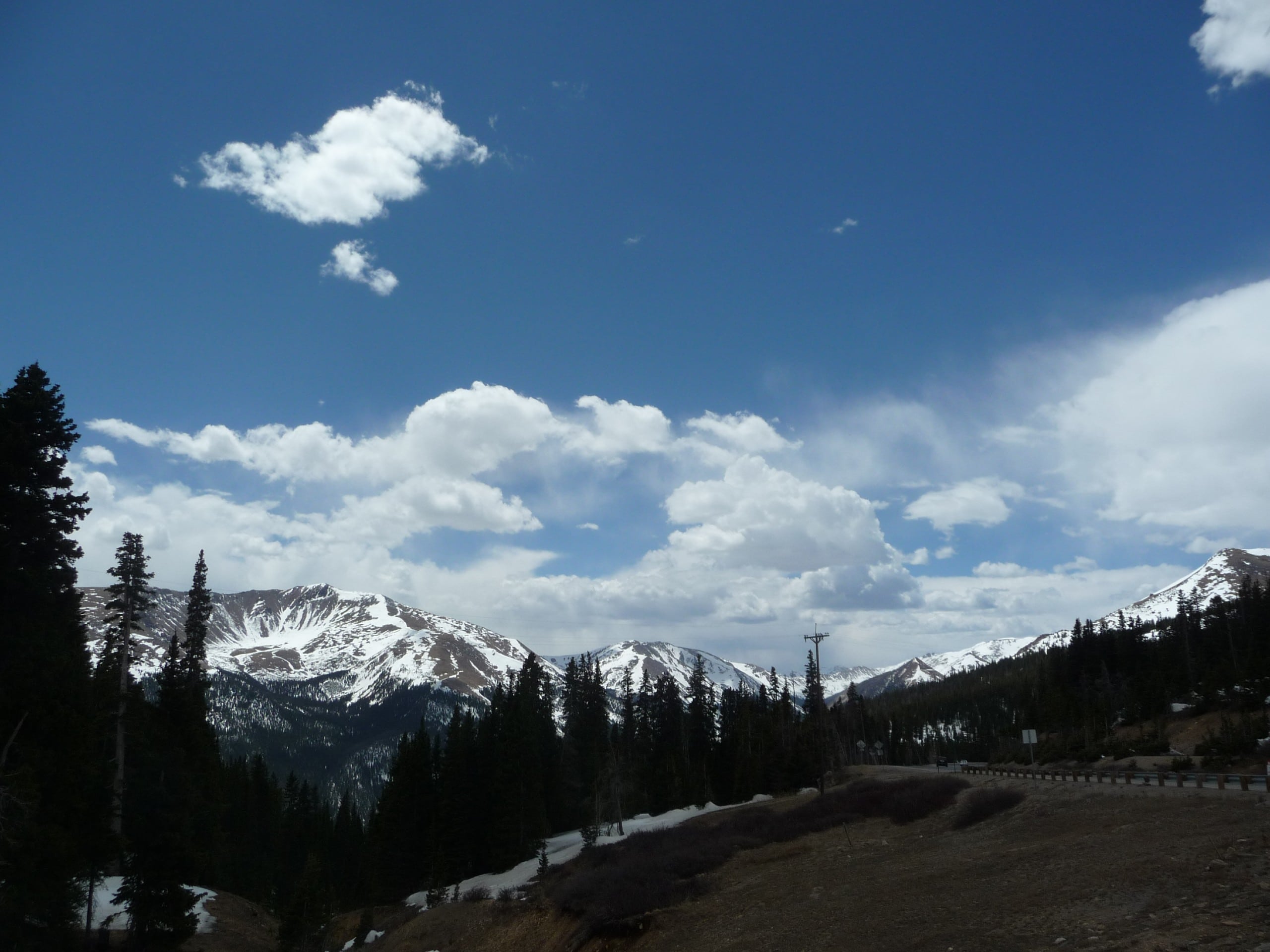
Loch Lomond to Berthoud Pass Hike
Difficulty Rating:
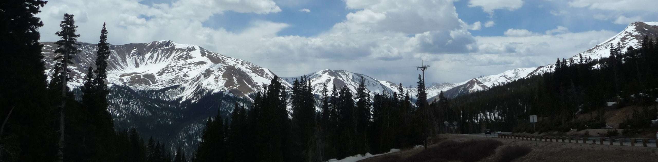
The Loch Lomond to Berthoud Pass is an unforgettable excursion along the famous Continental Divide. Reserved for adventurous spirits, those who trek its path will be rewarded with 360-degree, uninterrupted views of the Front Range. If you are an experienced hiker searching for a new escapade, then we urge you to consider the Loch Lomond to Berthoud Pass Hike.
Getting there
Begin your journey from Loch Lomond Lake off the Kingston Spur Road. Remember this trek is one way, so arrange a pickup or drop off a car at the Berthoud Pass Parking Lot.

About
| Backcountry Campground | Dispersed Backcountry Camping, restrictions apply. |
| When to do | June-October |
| Pets allowed | Yes - On Leash |
| Family friendly | No |
| Route Signage | Poor |
| Crowd Levels | Moderate |
| Route Type | One Way |
Loch Lomond to Berthoud Pass Hike
Elevation Graph
Weather
Loch Lomond to Berthoud Pass Description
The Loch Lomond to Berthoud Pass Hike is an unforgettable experience and we couldn’t recommend it enough. This scenic adventure requires some planning! One-way trails are the best because the scenery is new every step of the way, but you do have to arrange transportation at the path’s end. Drop off a car or set up a pickup from the Berthoud Pass Parking Lot. This stunning hike is also technical, so be prepared to navigate a 2+ Class scramble. Ensure you are wearing sturdy hiking boots and consider trekking poles to make your journey easier. Note you will also be walking along an exposed ridge at high altitudes, wear layers to stay warm and head out early to avoid getting caught in an afternoon storm.
Embark on your journey along the Loch Lomond to Berthoud Pass Trail from Loch Lomond Lake. Ascend the unnamed path in the north up to the James Peak South Trail. At the intersections, stay left on the now unmarked, technical path. This section of the hike might be the most difficult as you navigate the saddle between Mount Bancroft and James Peak. Scramble up the Class 2+ terrain to the summit of Mount Bancroft. From Mount Bancroft, head west down the saddle and up to Parry Peak. Enjoy the vistas as you travel south along the rocky ridge from Parry Peak to Mount Eva. Continue hiking the technical path over to Witter Peak and Mount Flora.
From Mount Flora there will be a more defined path to follow. Enjoy the breathtaking views of the Front Range and Continental Divide as you trek along the final segment of the trail. Hike along the Continental Divide on the Mount Flora trail to the Berthoud Pass Parking Lot. Give yourself a pat on the back at the trail’s end and appreciate the magnitude of what you just hiked.
Similar hikes to the Loch Lomond to Berthoud Pass Hike hike

Hankins Pass Hike
The Hankins Pass Hike is a quintessential adventure across the Lost Creek Wilderness. The hike demonstrates the diversity of the…

Miller Gulch Loop Trail
The Miller Gulch Loop Trail is a scenic meadowland adventure in the Pike National Forest. Hike through grassy meadows laden…

The Castle Hike
The Castle Hike is an exciting adventure up the steep, forested terrain to The Castle Rock. From atop the summit,…
Comments