
Horsetooth Mountain Hike
View Photos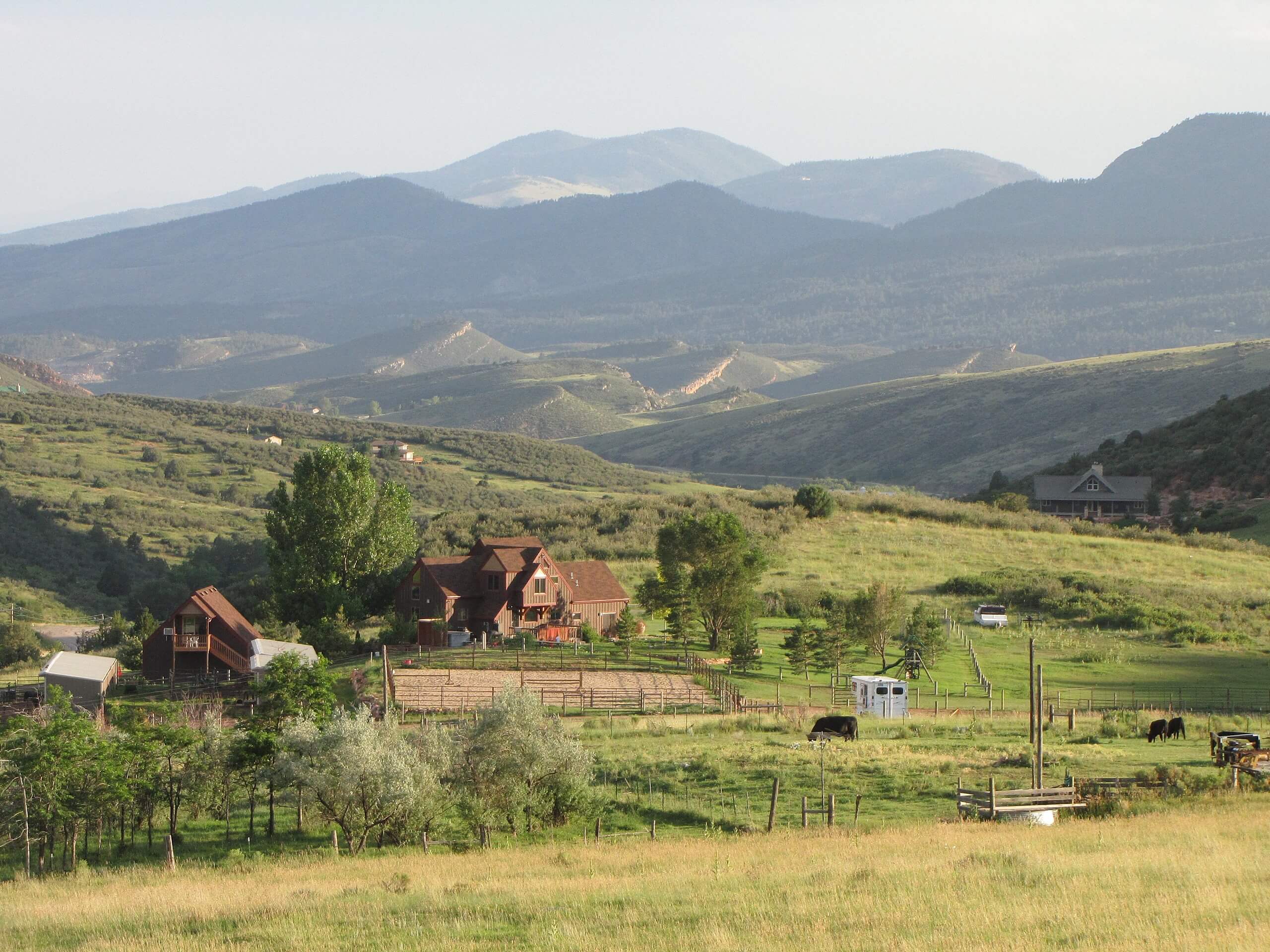
Horsetooth Mountain Hike
Difficulty Rating:
The Horsetooth Mountain Hike guides its hikers through various landscapes up to a stunning lookout. Hike through wildflower plains, through pine trees, and up to the Horsetooth rock. This trail is a great day hike in the Horsetooth Mountain Open Space that will challenge you enough but won’t overly exhaust you.
Getting there
Located within the Horsetooth Mountain Open Space, the Horsetooth Mountain Hike Trailhead is found in the Soderberg Parking Lot. Find the Open Space on the north side of the West County Road 38E.

About
| Backcountry Campground | Yes, only at designated backcountry campsites. See rules and regulations. |
| When to do | March-October |
| Pets allowed | Yes - On Leash |
| Family friendly | Older Children only |
| Route Signage | Average |
| Crowd Levels | Moderate |
| Route Type | Lollipop |
Horsetooth Mountain Hike
Elevation Graph
Weather
Horsetooth Mountain Hike Description
The Horsetooth Mountain Hike is a wonderful adventure that will get your blood pumping, but her effort is well worth the reward! Just make sure to pack plenty of water for this long excursion through the wilderness. Be prepared to break a sweat, but don’t worry, it is very gradual, so it is easily manageable. Located in the Horsetooth Mountain Open Space, hikers are required to purchase a permit at the kiosk when they enter the area. Passes are typically around $9USD. As you hike along the trails, be mindful of wildlife in the area. There have been mountain lions spotted in the area.
Begin your adventure around the Horsetooth Mountain Hike from the Soderberg Parking Lot. From the lot, track north on the Swan Johnson Trail. Hike along the wooded path and you will quickly encounter an intersection, veer left onto the Towers Trail. Walk the path until you meet a junction. At this point you can complete the trail from either direction, but we recommend going counterclockwise. Take the middle path and continue along the Towers Trail. This route will guide you northwest through the grassy plains and up under tree coverage. There will be several off-shooting trails, but make sure to maintain along the Towers Trail.
As you trek along, the trail will be continuously gaining elevation. Keep an eye out for horse tooth rock in the west as you ascend the path. The route will begin to curve you southwest as you ascend towards Horsetooth Mountain. Pass a cemetery and hike up the summit of Horsetooth Mountain. Enjoy the expansive views of the surrounding rolling hills and the grassy plains below. Descend the south side of the mountain and the trail will merge onto Westridge Trail. Hike down some switchbacks before you meet yet another intersection.
At this point, stay left and hook onto Spring Creek Trail. This path will guide you across the meadows and through the woods to Horsetooth Falls. Admire the cascading waterfall before following the path down to another junction. Stay right on Stout Trail which will guide you back to Towers Trail. Turn right and retrace your steps along the trail all the way back to the parking lot.
Similar hikes to the Horsetooth Mountain Hike hike

Hankins Pass Hike
The Hankins Pass Hike is a quintessential adventure across the Lost Creek Wilderness. The hike demonstrates the diversity of the…

Miller Gulch Loop Trail
The Miller Gulch Loop Trail is a scenic meadowland adventure in the Pike National Forest. Hike through grassy meadows laden…

The Castle Hike
The Castle Hike is an exciting adventure up the steep, forested terrain to The Castle Rock. From atop the summit,…
Comments