
Horsetooth Falls Loop
View Photos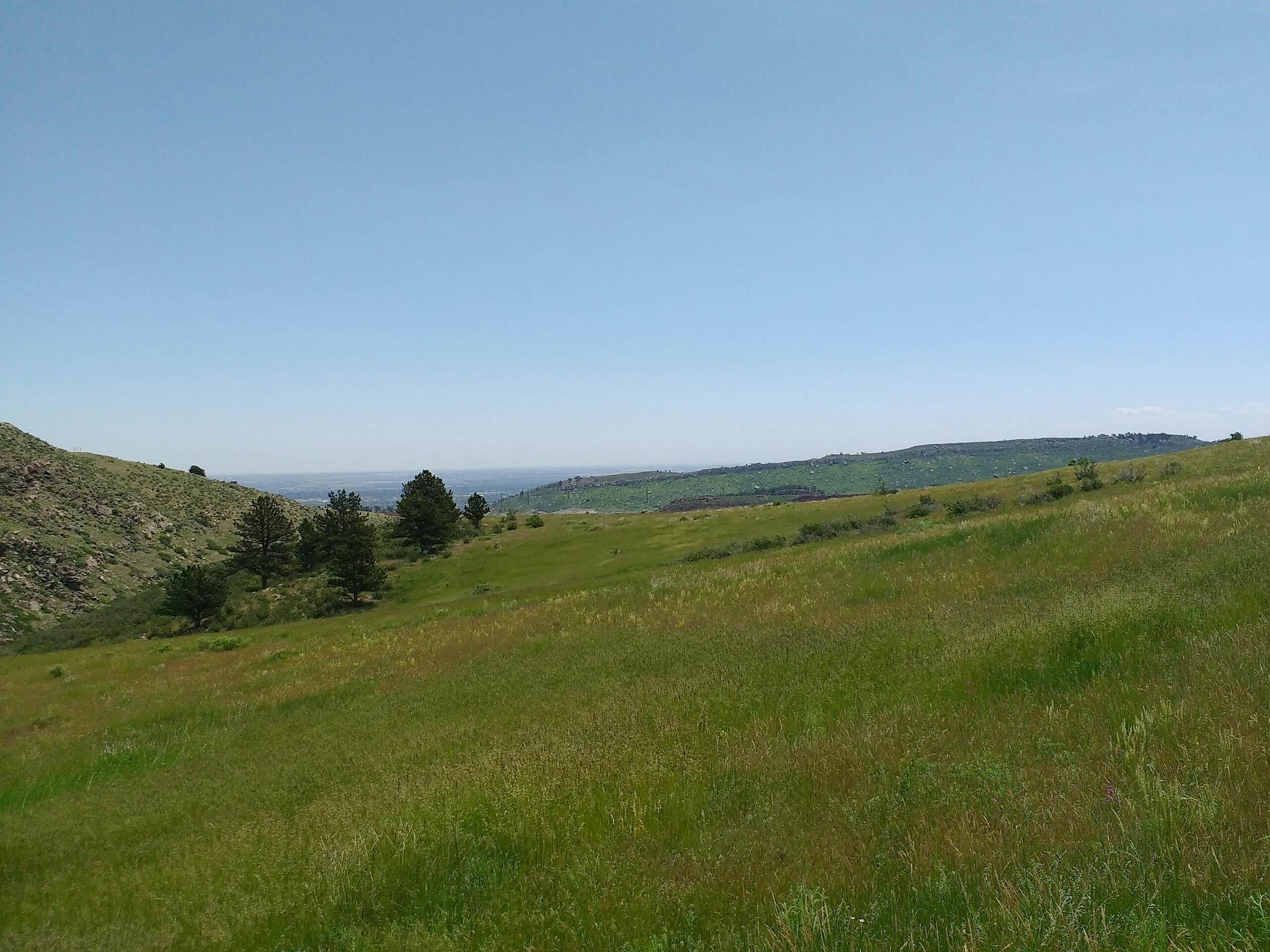
Horsetooth Falls Loop
Difficulty Rating:
Hike the lovely lollipop loop up to Horsetooth Falls. The Horsetooth Falls Loop is a wonderful nature trail that the whole family will enjoy. Hike through grassy plains, beneath towering pine trees and up to an overlook and cascading waterfall. This hike is an awesome excursion in the Horsetooth Mountain Open Space.
Getting there
The Horsetooth Falls Loop is located in the Horsetooth Mountain Open Space off of West County Road 38E.

About
| Backcountry Campground | Yes, only at designated backcountry campsites. See rules and regulations. |
| When to do | March-October |
| Pets allowed | Yes - On Leash |
| Family friendly | Yes |
| Route Signage | Average |
| Crowd Levels | High |
| Route Type | Lollipop |
Horsetooth Falls Loop
Elevation Graph
Weather
Horsetooth Falls Loop Hike Description
The Horsetooth Falls Loop is a crowd favorite, and we understand why. Walk through the wilderness and whilst keeping an eye out for wildlife. There are often deer spotted in the area! Hike up the easy to navigate trail to a cascading waterfall and its towering granite cliffs. Located in the Horsetooth Mountain Open Space, visitors require a pass. These permits can be purchased at the kiosk as you enter the Open Space and typically cost about $9USD. The Horsetooth Falls Loop is short and sweet, but if you crave a longer and more challenging adventure, consider the Horsetooth Mountain Hike.
When you are all set to begin your adventure around the Horsetooth Falls Loop, set out northeast on the Horsetooth Rock Trail. Shortly after your departure from the trailhead, you will encounter a junction. This loop can be completed from either direction, but we recommend hiking it clockwise. Veer left and continue on the Horsetooth Rock Trail. This path will merge briefly with the South Ridge Trail, but ensure to maintain on the Horsetooth Rock Trail. Continue hiking the meadowed path as you intersect with spring creek and meet another intersection.
At this point, you are going to want to stay right, which will divert you onto the Soderberg Trail. Trek along this route as it weaves you between tree shade and open grassy fields. Ascend the trail and you will confront another junction. Cross Spring Creek and take a sharp right turn down the Spring Creek Trail. This path will guide you south down to the waterfalls. Enjoy the views of the Horsetooth Reservoir as you descend to Horsetooth Falls. Admire the stunning waterfall and dip your tired feet in the pool before continuing your journey.
From the waterfall, take the Horsetooth Falls Trail south as it guides you down through the open meadows. Eventually, you will meet the intersection with Horsetooth Rock Trail. At this point, simply retrace your steps back to the parking lot.
Similar hikes to the Horsetooth Falls Loop hike

Miller Gulch Loop Trail
The Miller Gulch Loop Trail is a scenic meadowland adventure in the Pike National Forest. Hike through grassy meadows laden…

The Castle Hike
The Castle Hike is an exciting adventure up the steep, forested terrain to The Castle Rock. From atop the summit,…

Rutherford Trail
The Rutherford Hike is a charming nature walk in Georgetown Colorado. This secluded trail is a wonderful adventure the whole…
Comments