Hewlett Gulch Trail
View Photos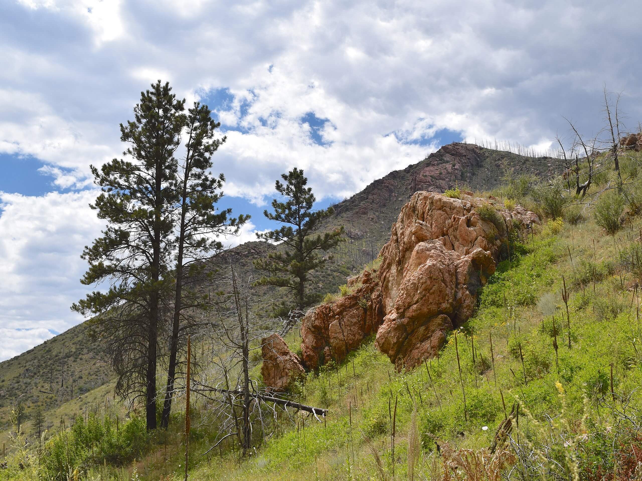
Hewlett Gulch Trail
Difficulty Rating:
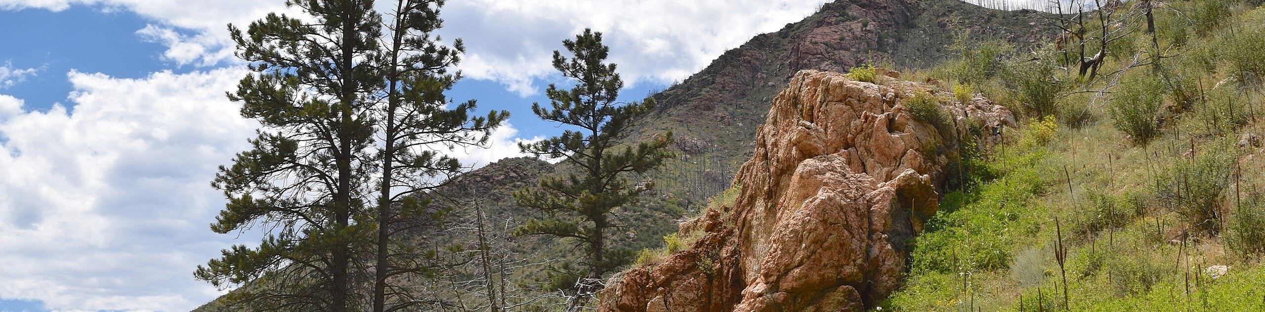
With the perfect ratio between steep and easy terrain, the Hewlett Gulch Trail is a wonderful day hike through the Colorado Wilderness. Pack up the car and bring the whole family along this incredibly scenic path. If you are lucky, you may even get a peek at some bighorn sheep or grazing deer.
Getting there
Find the Hewlett Gulch off the Poudre Canyon Highway.

About
| Backcountry Campground | No |
| When to do | April-November |
| Pets allowed | Yes - On Leash |
| Family friendly | Older Children only |
| Route Signage | Average |
| Crowd Levels | High |
| Route Type | Lollipop |
Hewlett Gulch Trail
Elevation Graph
Weather
Hewlett Gulch Hike Description
Trek along the river canyon and bask in the breathtaking views as you travel up to the meadowlands. The Hewlett Gulch Trail is one of a kind in that you will be rewarded with vistas of the Front Range without having to summit a mountain. Hike through the exposed grassy plains and revel in the picturesque landscape. In the summer months, make sure to pack plenty of water and sun screen as there is limited tree shade along this route.
From the parking lot, the Hewlett Gulch Trail follows the curves of Gordon Creek. Hike up the forested gulch, along the creek’s edge. Enjoy the ambiance of the babbling waters and keep an eye out for cool rock formations as you ascend the path. You will pass several old mines as you climb up the gulch. Follow the Hewlett Gulch Trail, and you will eventually meet an intersection. Note that you can complete the loop from either direction, but we went clockwise. Veer left on the Hewlett Gulch Trail and trek along the meadowed route. Follow the path and ignore the merging trails. Hike around the loop and through the sparse aspen tree coverage.
Once you loop around the trail and meet back at the circuit’s intersection, simply retrace your footing down Hewlett Gulch all the way back to the trailhead.
Similar hikes to the Hewlett Gulch Trail hike

Hankins Pass Hike
The Hankins Pass Hike is a quintessential adventure across the Lost Creek Wilderness. The hike demonstrates the diversity of the…

Miller Gulch Loop Trail
The Miller Gulch Loop Trail is a scenic meadowland adventure in the Pike National Forest. Hike through grassy meadows laden…

The Castle Hike
The Castle Hike is an exciting adventure up the steep, forested terrain to The Castle Rock. From atop the summit,…
Comments