Grizzly Gulch Trail
View Photos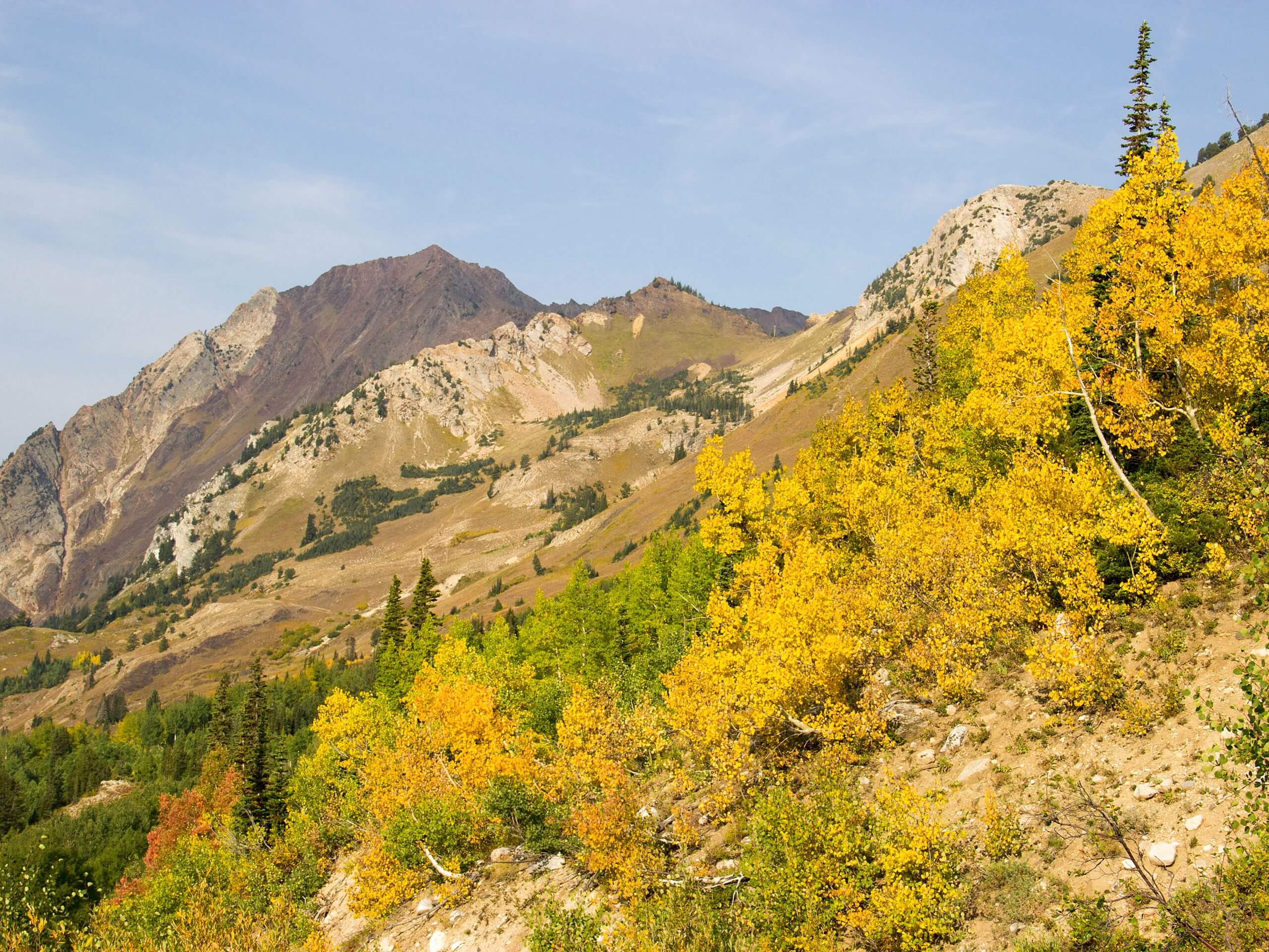
Grizzly Gulch Trail
Difficulty Rating:
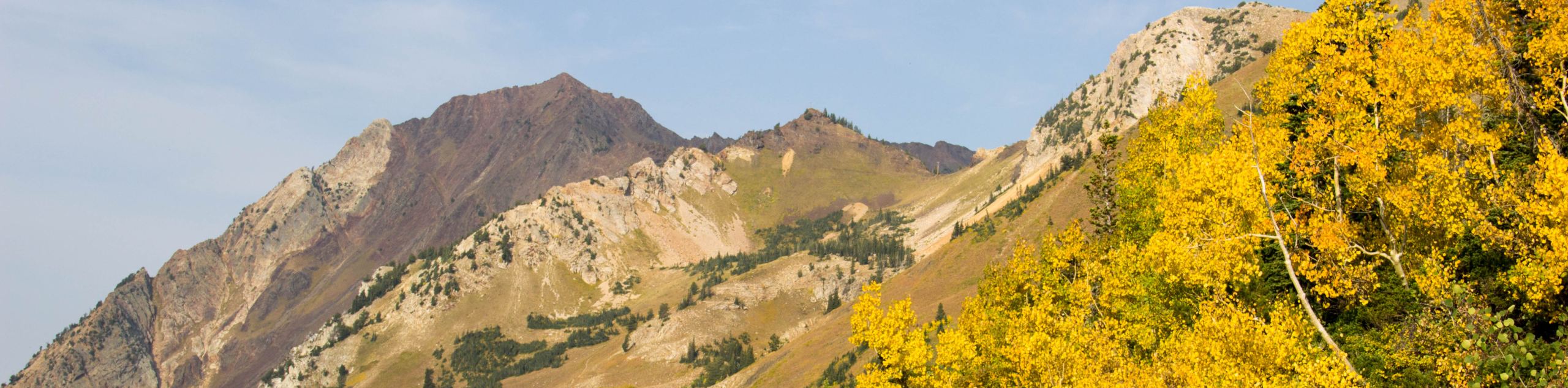
The Grizzly Gulch Trail is not as scary as it may sound. This beautiful trail will guide adventurers up a forested valley before opening to a picturesque meadow with expansive views of the Front Range’s snow-dusted peaks. Trek up the Grizzly Gulch Trail ASAP, because we have a hunch this hidden treasure has been found.
Getting there
The Grizzly Gulch Trailhead and Car Park is off of the Silver Valley Road.

About
| Backcountry Campground | Dispersed Backcountry Camping, see rules and regulations. |
| When to do | June-October |
| Pets allowed | Yes - On Leash |
| Family friendly | Older Children only |
| Route Signage | Average |
| Crowd Levels | Moderate |
| Route Type | Out and back |
Grizzly Gulch Trail
Elevation Graph
Weather
Grizzly Gulch Hike Description
The Grizzly Gulch hike is a stimulating excursion through the Arapaho National Forest. Bask in the striking vistas of Torreys Peak and Grizzly Peak at the summit of the Gulch. We fear this hidden gem isn’t going to remain hidden for much longer, so enjoy the trail now to avoid the impending crowds. Note this path crosses over several stream crossings. Usually, you can rock hop across the running streams, but after rainfall or spring, you may have to kick off your shoes and wade through the chilly waters. It’s all part of the outdoor experience, though, right? So climb up the rocky gulch and revel in the panorama. We absolutely love this hike, and you will too.
Embark on your adventure from the Grizzly Gulch Trailhead. From here, track southeast on Stevens Gulch Road. Hike up the old service road through the valley. Note a trail GPS may come in handy as there are several off-shooting paths. Continue on the road as it nears Quayle Creek. At the junction, stay right as you merge onto Grizzly Gulch Road. Trek up the forested path and across two stream intersections. Hike along the trail, and you will encounter another fork in the road. Again, stay right and track up the Forest Service Road. Pass several old mines on the east side of the trail and continue trekking along the creek’s edge. Follow the trail and cross the creek two more times before the trail ascends tree coverage and opens into a meadow.
From the meadow, enjoy sights of the vibrant wildflowers in the summer and grazing deer. Year-round you will be rewarded with impressive views of the flanking craggy peaks—notice Torreys Peak in the east and Grizzly Peak in the southwest. Admire the grandeur of the towering snow-capped mountains before beginning your descent back down the trail. Simply retrace your steps back to the parking lot.
Similar hikes to the Grizzly Gulch Trail hike

Hankins Pass Hike
The Hankins Pass Hike is a quintessential adventure across the Lost Creek Wilderness. The hike demonstrates the diversity of the…

Miller Gulch Loop Trail
The Miller Gulch Loop Trail is a scenic meadowland adventure in the Pike National Forest. Hike through grassy meadows laden…

The Castle Hike
The Castle Hike is an exciting adventure up the steep, forested terrain to The Castle Rock. From atop the summit,…
Comments