
Goose Creek Trail
View Photos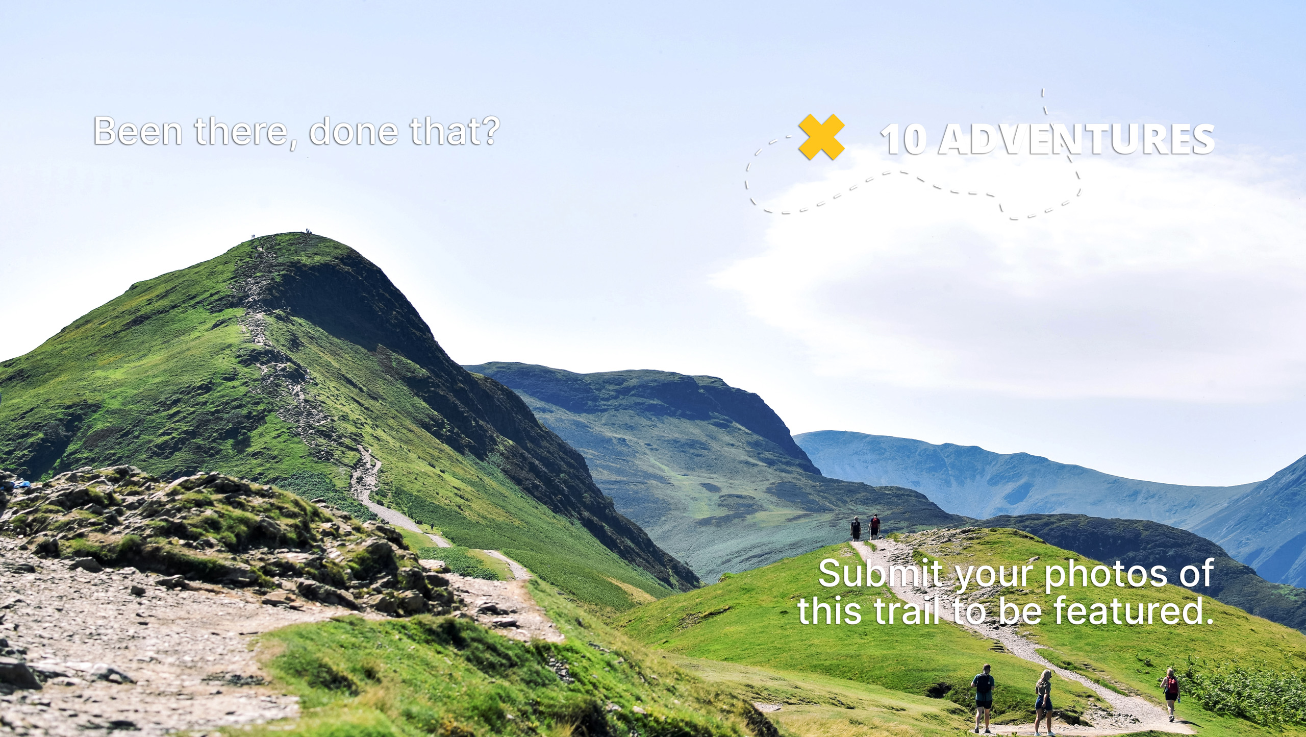
Goose Creek Trail
Difficulty Rating:
Hike the popular Goose Creek Trail in the Lost Creek Wilderness. Travel the woodland valley trail past several primitive campsites, past numerous mountainous overlooks, to a granite cave and an old, abandoned cabin. Is incontestable that the Goose Creek Hike is one of the most stimulating and scenic adventures through the Colorado forestlands.
Getting there
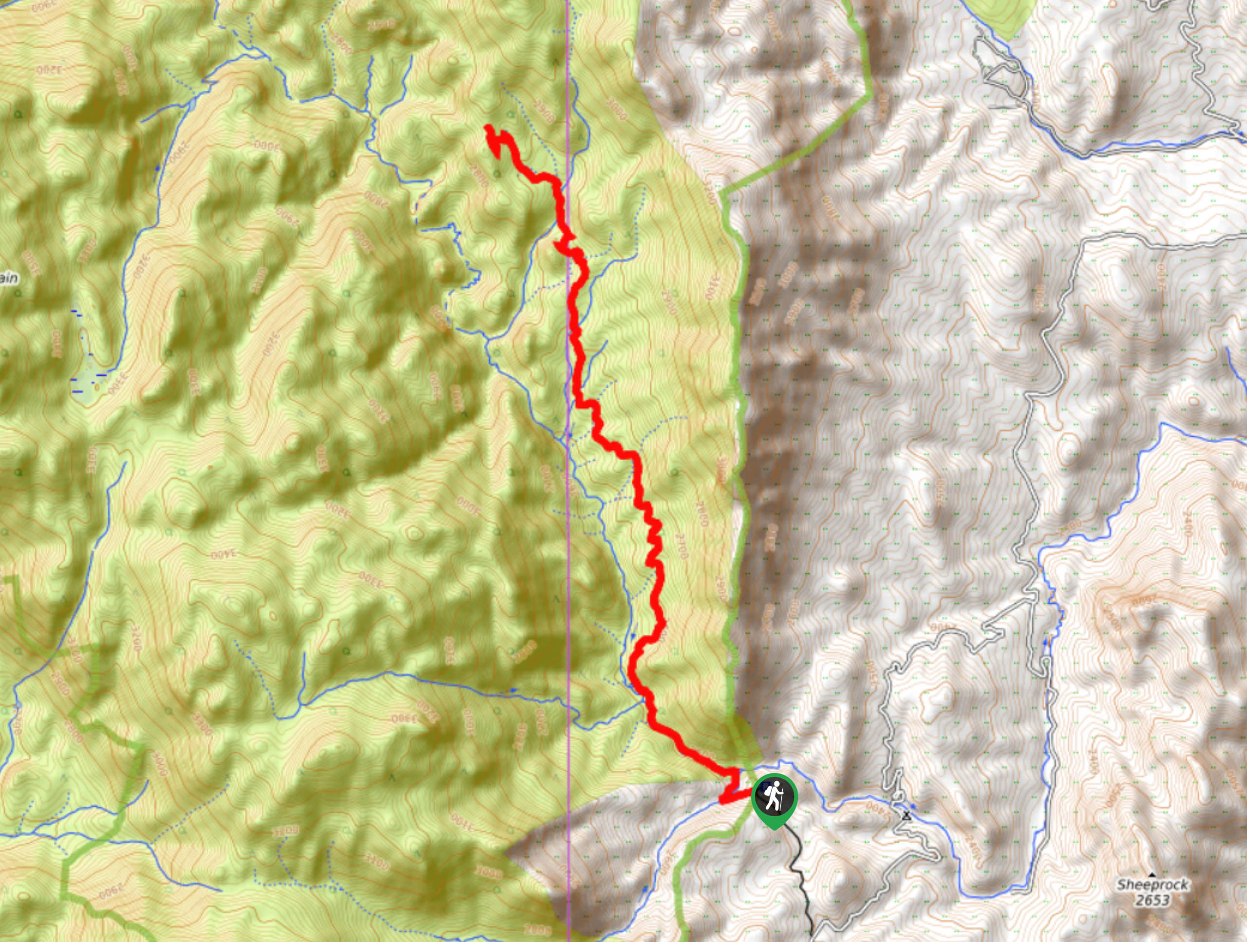
The Goose Creek Trailhead is at the end of the Goose Creek Access Road (FR558) off Goose Creek Road.

About
| Backcountry Campground | Yes, designated backcountry campsites along the trail. |
| When to do | May-October |
| Pets allowed | Yes - On Leash |
| Family friendly | No |
| Route Signage | Average |
| Crowd Levels | High |
| Route Type | Out and back |
Goose Creek Trail
Elevation Graph
Weather
Goose Creek Hike Description
Travel along the banks of Goose Creek as you make your way up the forested gulch on the Goose Creek Trail. This stunning excursion is a crowd-favorite for hikers and backpacking expeditioners alike. Note the Goose Creek Trail has a self-issuing permit service at the trailhead. Make sure you grab a free permit at the trailhead and ensure to read over the wilderness rules and regulations found on the back. Keep the permit with you for the entirety of your adventure. As a connecting trail, this path is often trafficked by those completing or starting a longer backpacking voyage through the Front Range. Though it can be completed in a day, we love camping at one of the several backcountry campsites along the path. This way you can take your time, rest your tired legs, and not worry about beating the sunset.
Grab your water filter and lace up those hiking boots and let’s go on an adventure. When you are all packed up and ready to go, grab your self-issue permit at the trailhead and set out on the epic excursion up the Goose Creek Trail. From the trailhead, take the Goose Creek Trail northwest as it guides you along the curves of Goose Creek. Ascend the forested trail and you will reach the Harmonica Point Overlook. Enjoy the vistas of the mountainous landscape and continue trekking. The trail will diverge briefly from the creek, and you will be guided past an impressive rock cave, explore the shelter and hook back on the path. The route will merge once again with Goose Creek, and you will pass an old historical cabin in the woods. Continue hiking up the trail as it gains elevation and becomes increasingly exposed. Walk past several campsites until you meet a fork in the road.
Once you meet the junction between Goose Creek Trail and McCurdy Park Trail, you have encountered your turn around point. If you are prepared for a backcountry camping expedition, then continue along either of these trails further into the wilderness. If you are set to head back, retrace your steps back down the trail all the way to the parking lot and trailhead.
Similar hikes to the Goose Creek Trail hike

Hankins Pass Hike
The Hankins Pass Hike is a quintessential adventure across the Lost Creek Wilderness. The hike demonstrates the diversity of the…

Miller Gulch Loop Trail
The Miller Gulch Loop Trail is a scenic meadowland adventure in the Pike National Forest. Hike through grassy meadows laden…

The Castle Hike
The Castle Hike is an exciting adventure up the steep, forested terrain to The Castle Rock. From atop the summit,…
Comments