
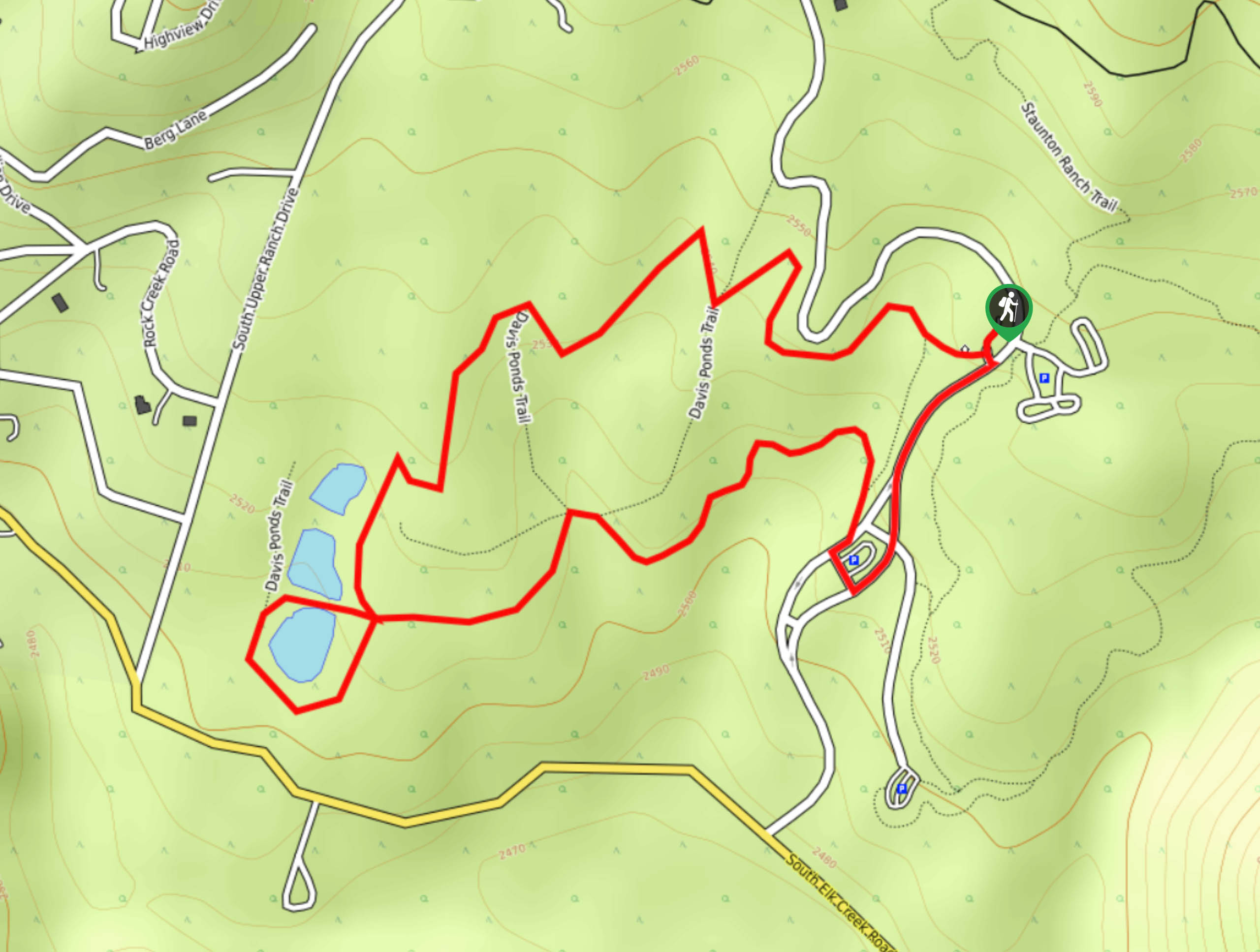
Davis Ponds Trail
View Photos
Davis Ponds Trail
Difficulty Rating:
Hike through Colorado’s wilderness on this family-friendly trek along the Davis Ponds Trail. These paths will take its adventurers through meadows with grazing deer, under tree coverage and past several small ponds. This exceptionally accessible hike will please the whole family. Enjoy the lush landscapes and bask in the views of the craggy peaks that line the horizon.
Getting there
The Davis Ponds Trailhead is located within the Staunton State Park, past the kiosk.

About
| Backcountry Campground | No |
| When to do | March-October |
| Pets allowed | Yes - On Leash |
| Family friendly | Yes |
| Route Signage | Average |
| Crowd Levels | Extreme |
| Route Type | Circuit |
Davis Ponds Trail
Elevation Graph
Weather
Davis Ponds Hike Description
Family-friendly, scenic, and accessible—the Davis Ponds Hike is an amazing nature trail in the Staunton State Park. This path will appease the whole family, and your little ones will blow off some steam as they explore all that the Colorado wilderness has to offer. Located within a State Park, visitors will have to purchase a parking pass at the gateway. This trail is very popular, and rightfully so, but consider a weekday excursion into nature if you wish to avoid crowds.
Depart from the trailhead and head right onto the Davis Ponds Trail. Hike along the path, ignoring intersecting and merging branches of the trail. Trek along the route until you meet the Davis Ponds. Explore the water pools and the stunning mountainous scenery that sits in the background. Keep an eye out for deer and moose in the grassy plains. Loop around, heading down the southeast side of the trail and through the sparse tree coverage. Meander the trail, and it will eventually guide you around another parking lot before delivering you back to your car.
This stunning loop is short and sweet, but several paths travel within the loop. If you and your party still have some gas in the tank, further explore the Davis Ponds network of trails before heading back to the parking lot.
Similar hikes to the Davis Ponds Trail hike

Rutherford Trail
The Rutherford Hike is a charming nature walk in Georgetown Colorado. This secluded trail is a wonderful adventure the whole…
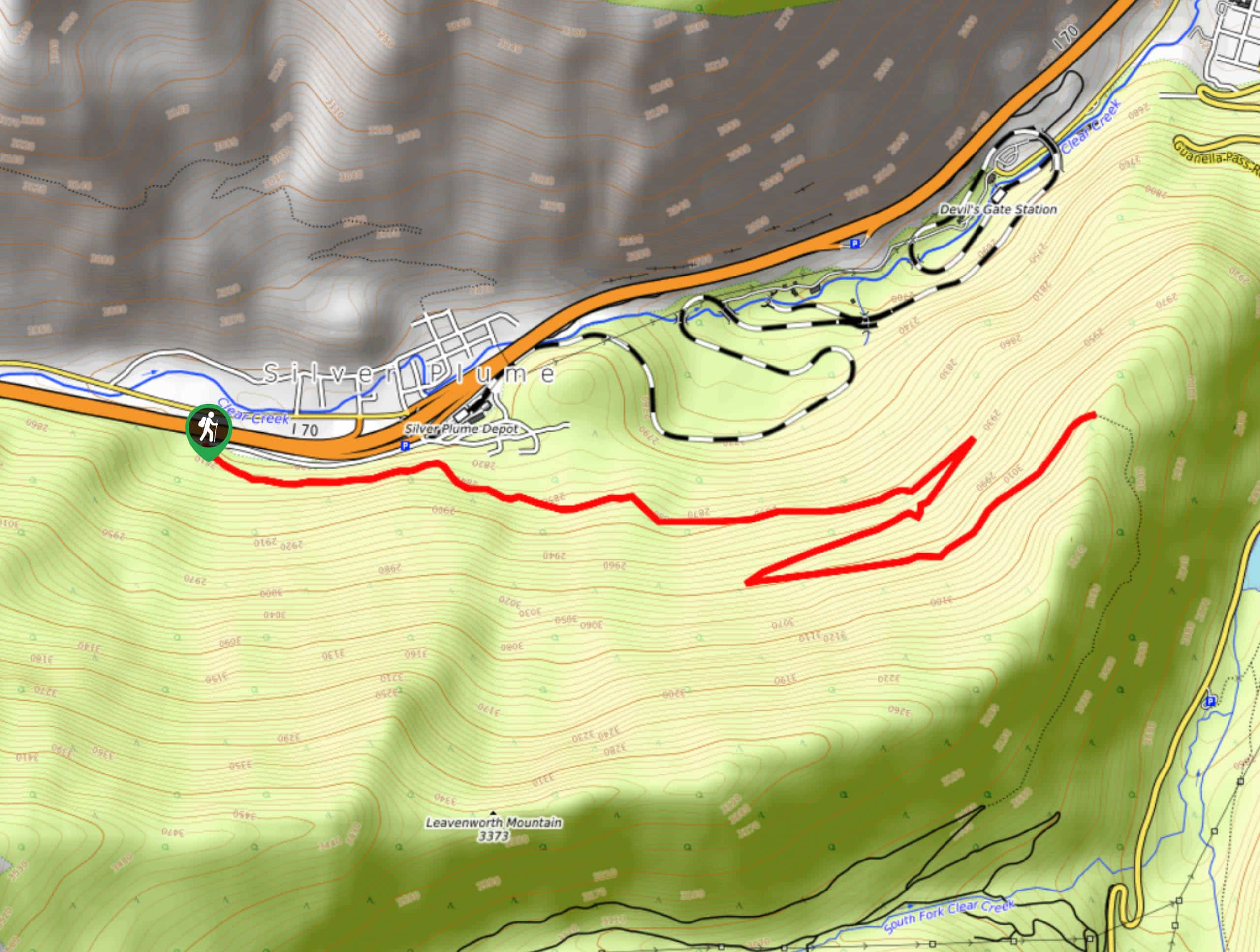
Pavilion Point Hike
The Pavilion Point Hike is an awesome adventure that the whole family can enjoy. Near Silver Plume Train Depot, kids…
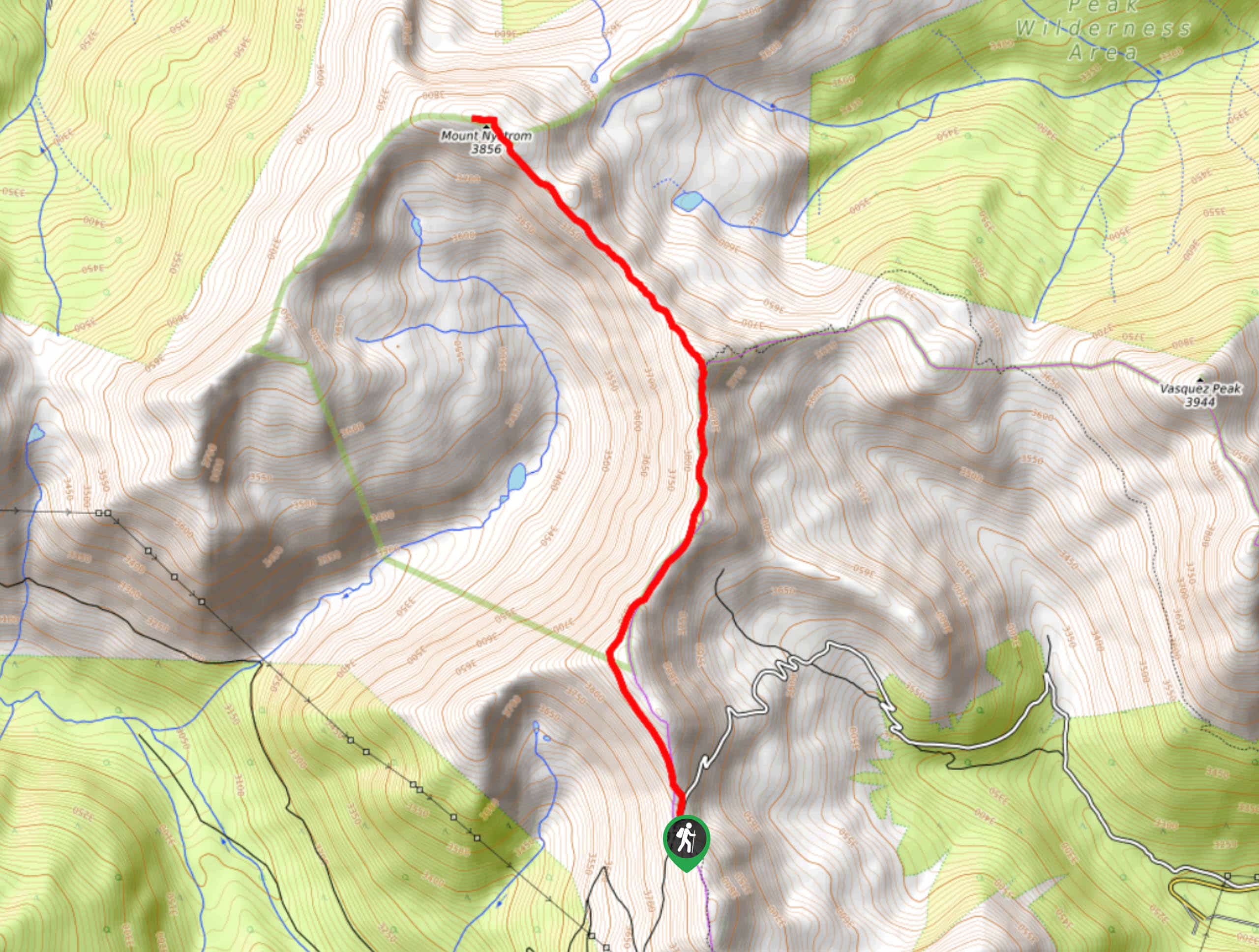
Mount Nystrom Trail
The Mount Nystrom Trail is an exciting adventure above the clouds. Hike the exposed path to the summit and enjoy…
Comments