
Burning Bear Trail
View Photos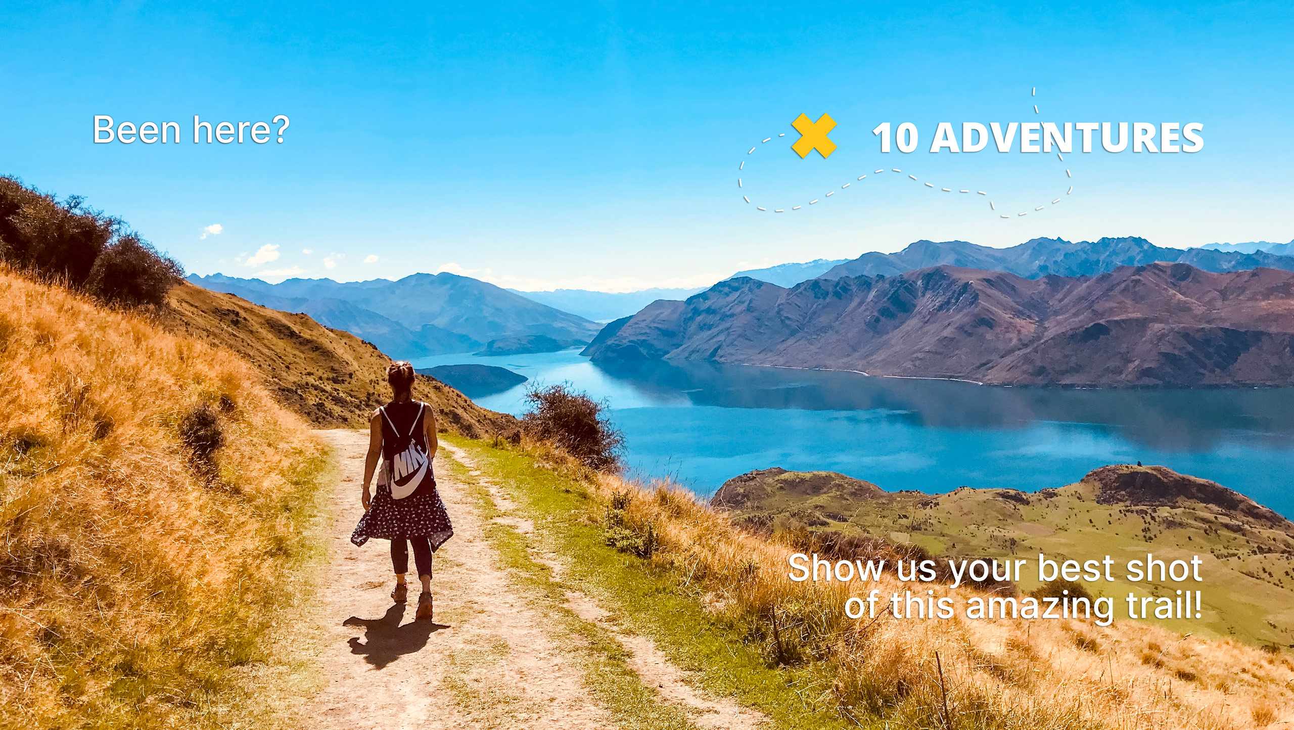
Burning Bear Trail
Difficulty Rating:
The Burning Bear Hike is a lovely, forested walk through the Pike National Forest. Walk alongside the creek and up through the dense woodlands. Though this path is wonderfully scenic year-round, we prefer this trail in the fall when the aspens are at their peak vibrance. Shared with mountain bikers and horse riders, this route is an outdoor enthusiasts oasis.
Getting there
The Burning Bear Trailhead is off the Geneva Road. Park at the Abyss Trailhead and Parking Lot and cross Geneva Road to the trailhead.

About
| Backcountry Campground | Dispersed backcountry camping, restrictions apply. |
| When to do | May-November |
| Pets allowed | Yes - On Leash |
| Family friendly | Older Children only |
| Route Signage | Average |
| Crowd Levels | Moderate |
| Route Type | Out and back |
Burning Bear Trail
Elevation Graph
Weather
Burning Bear Hike Description
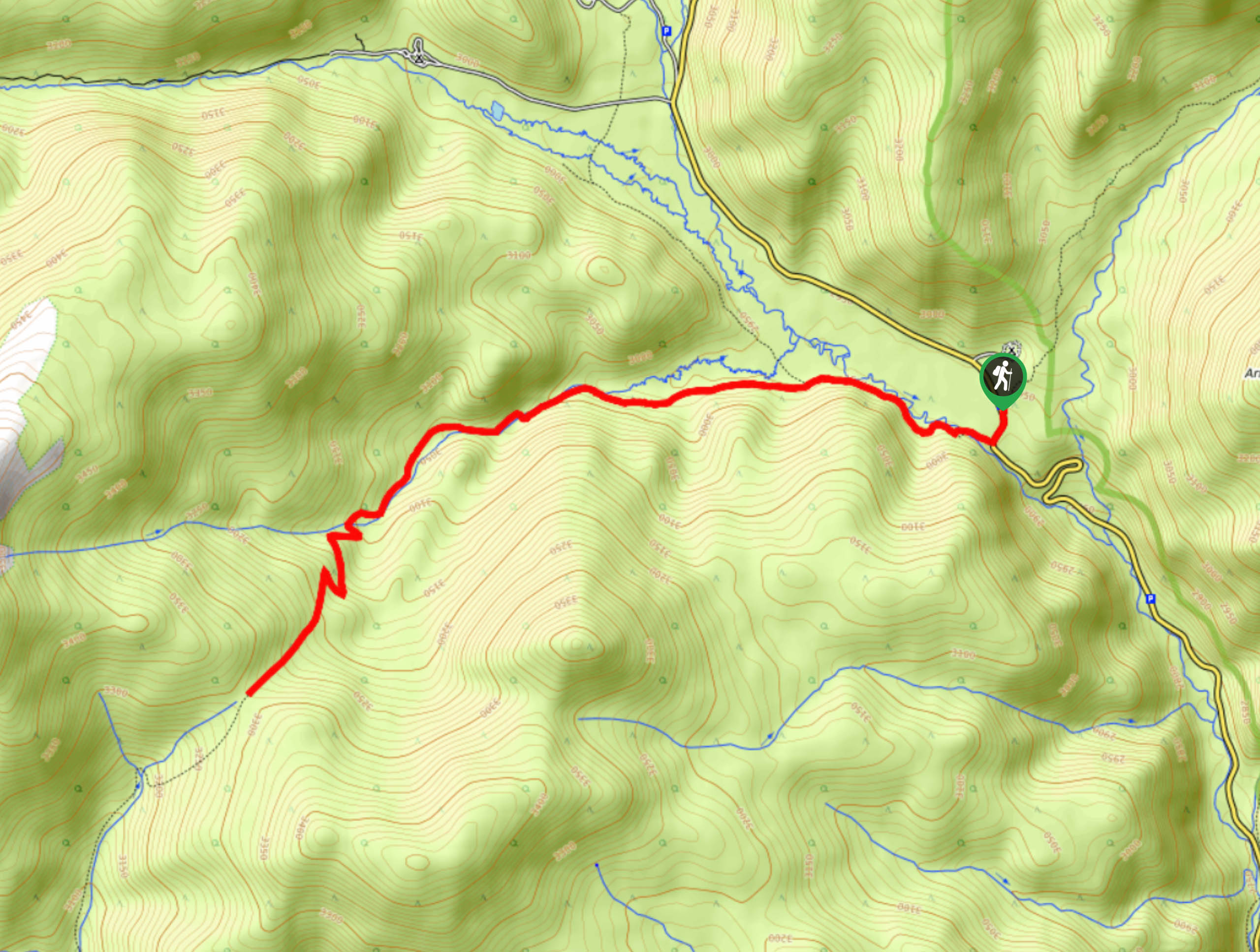
The Burning Bear Hike is the perfect day-hike for those looking to get some movement in without having to climb a Colorado 13er. With a gradual incline over the course of the trail your legs and bum will be feeling it, in a good way of course. Climb up the forested path until it leads you to an exposed meadowed saddle. The Burning Bear Trail is a great stepping stone for anyone looking to get into more intense climbs in the area. Note the trailhead for the Burning Bear Hike shares a parking lot with the Abyss Trail, on the opposite side of Geneva Road.
Begin your adventure up the Burning Bear Trail from the Abyss Trailhead and Parking lot. From the trailhead, cross Geneva Road and hook onto the Burning Bear Trail. Hike along the path as it crosses over Geneva Creek. Travel up the well-marked, well-maintained trail through the forested valley. Hike through the lush aspens and notice an old cabin structure to the right of the path. Continue trekking up the route and the forest will morph from aspens into lodgepole pine trees as it merges with the Burning Bear Creek. Trek along the curves of the creek as you gradually ascend towards the saddle. Near the end of the path, as you gain elevation, tree coverage will become more sparse and hikers will have to navigate a set of switchbacks up a ridge.
Shortly after you climb the rocky ridge you will meet your turn around point at the saddle. If you wish to extend your adventure you can continue along the Burning Bear Trail, note that it will deliver you to County Road 60. When you are ready to return, backtrack below tree coverage and follow the route back to the trailhead.
Similar hikes to the Burning Bear Trail hike

Hankins Pass Hike
The Hankins Pass Hike is a quintessential adventure across the Lost Creek Wilderness. The hike demonstrates the diversity of the…

Miller Gulch Loop Trail
The Miller Gulch Loop Trail is a scenic meadowland adventure in the Pike National Forest. Hike through grassy meadows laden…

The Castle Hike
The Castle Hike is an exciting adventure up the steep, forested terrain to The Castle Rock. From atop the summit,…
Comments