Cirque Meadows Hike
View Photos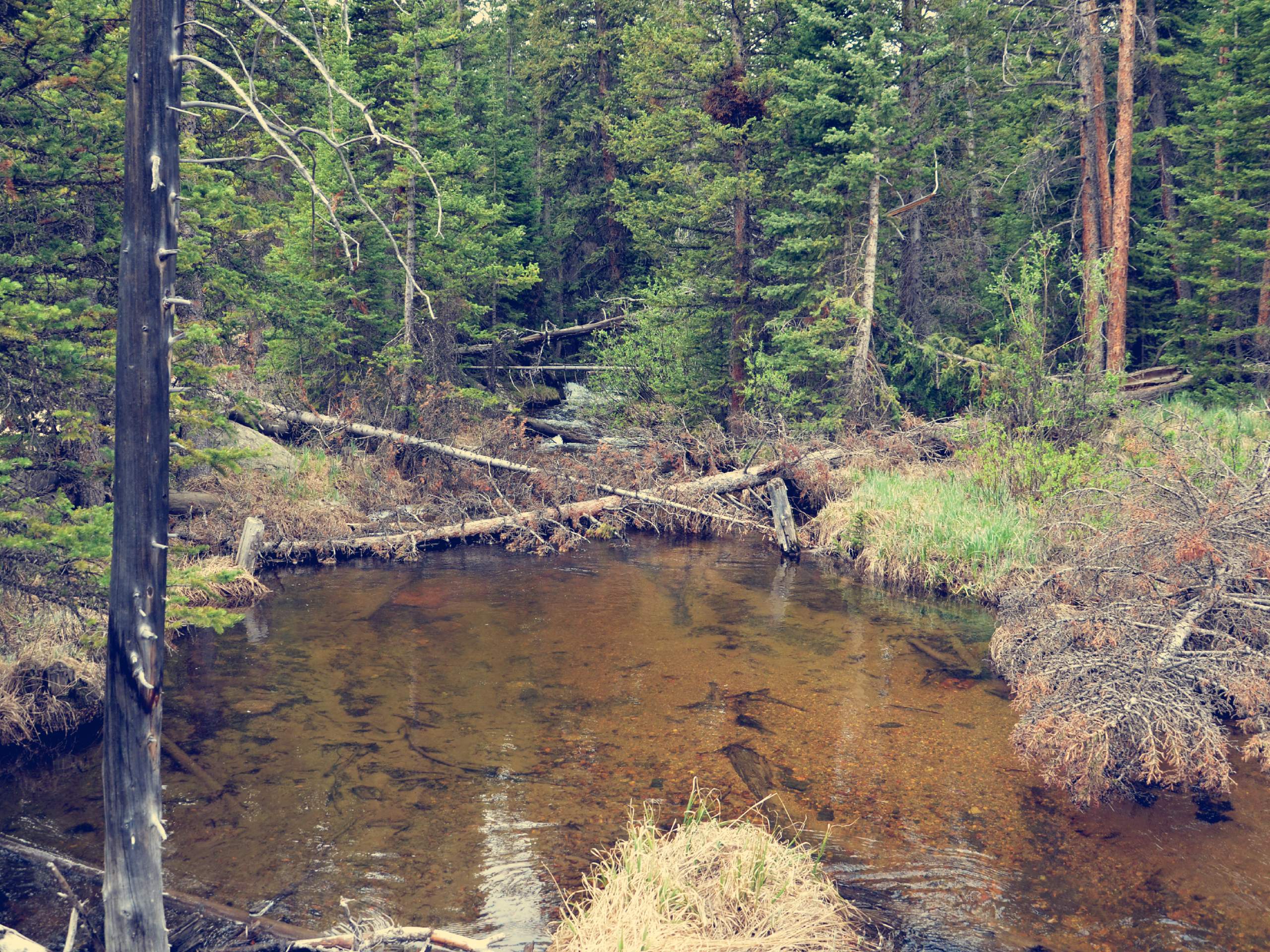
Cirque Meadows Hike
Difficulty Rating:
The Cirque Meadows Hike is a stunning woodland adventure through the Comanche Peak Wilderness. Hike through the forestlands, past a waterfall, along a stream and to an open meadow. This scenic adventure deserves to be savoured, consider camping at one of seven backcountry campsites that dot the meadows.
Getting there
The Cirque Meadows Hike is located off Forest Development Road 145 at the end of FDR200, an old dirt road.

About
| Backcountry Campground | Designated Backcountry Campsites |
| When to do | June-September |
| Pets allowed | Yes - On Leash |
| Family friendly | Yes |
| Route Signage | Average |
| Crowd Levels | Moderate |
| Route Type | Out and back |
Cirque Meadows Hike
Elevation Graph
Weather
Cirque Meadows Hike Description
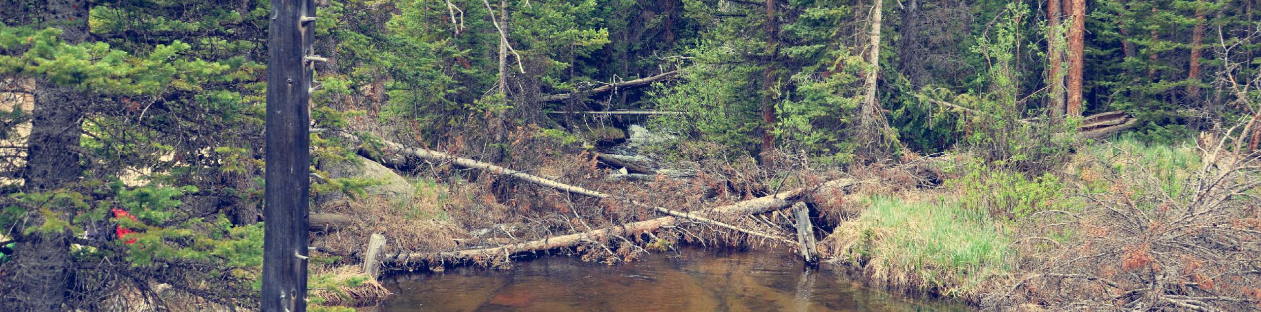
The Cirque Meadows Hike is an incredibly stunning forestland adventure. Travel along Fall Creek, past small waterfalls, through aspen groves and up to the Cirque Meadows and campsites. From the meadows enjoy expansive vistas of the snow-dusted Mummy Range. This adventure is woefully scenic, but it is a butt burner. Climb up the gradual grade to the grassy plains. Note there have been many bear sightings along this route, consider a bear bell to deter any unwanted visitors. Pack plenty of water and snacks to stay energized as you track through the wilderness.
Embark on your Cirque Meadows Hike from the Emmaline Lake Trailhead. You can drive up Forest Development Road 200 to the true trailhead, but it is a rough and rugged road. We suggest parking prior to the FDR 200 and hiking up the backcountry road. Hike to the true Emmaline Lake Trailhead and track southwest beneath the tree shade. Shortly after your departure there will be a set of intersecting paths, ignore them and maintain along the trail. Trek along the woodland path and notice the Colorado State University Mountain Campus in the east.
Soon the path will intersect with Fall Creek. Hike along the babbling creek as the route weaves you between tree coverage and exposed trail. Eventually you will arrive at the Cirque Meadows. Revel in the expansive mountain vistas from the meadows. See the Mummy Range in the south and set up shop at one of the campsites if you are spending the night. Enjoy the scenic meadows, and when you are ready to return, backtrack along the route to the trailhead and parking lot.
Similar hikes to the Cirque Meadows Hike hike

Miller Gulch Loop Trail
The Miller Gulch Loop Trail is a scenic meadowland adventure in the Pike National Forest. Hike through grassy meadows laden…

The Castle Hike
The Castle Hike is an exciting adventure up the steep, forested terrain to The Castle Rock. From atop the summit,…

Rutherford Trail
The Rutherford Hike is a charming nature walk in Georgetown Colorado. This secluded trail is a wonderful adventure the whole…
Comments