Williamson Lake Trail
View Photos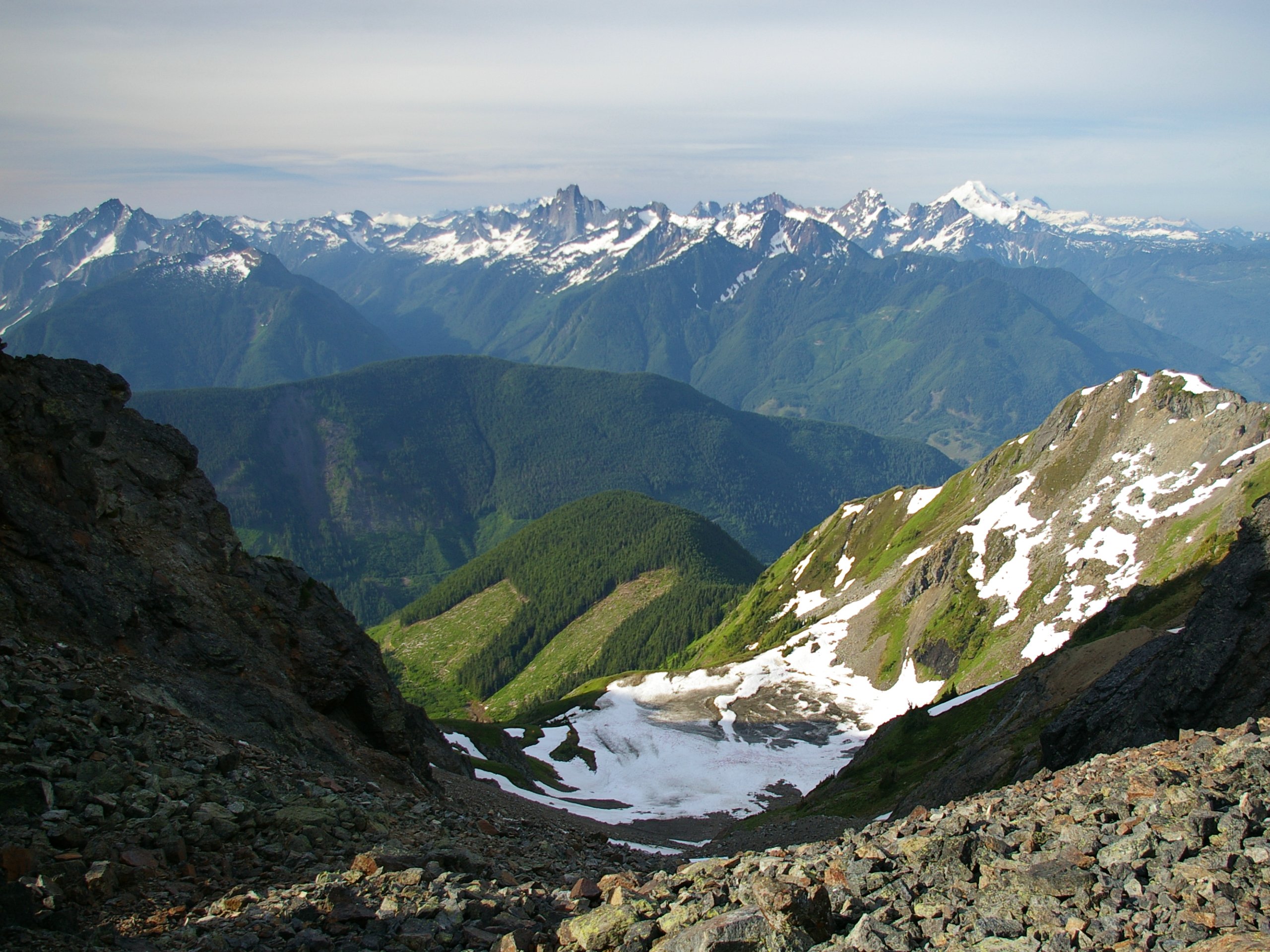
Williamson Lake Trail
Difficulty Rating:
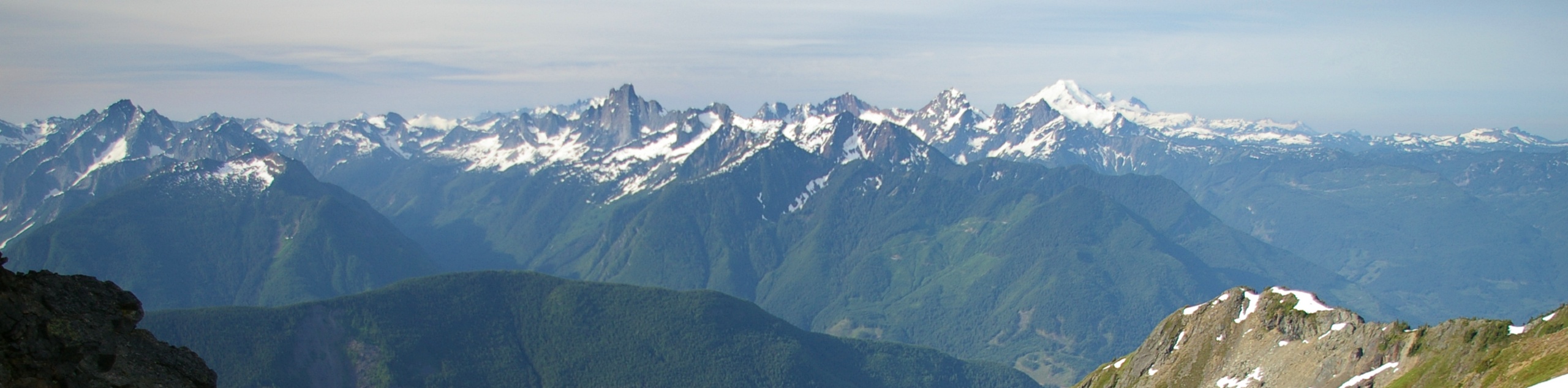
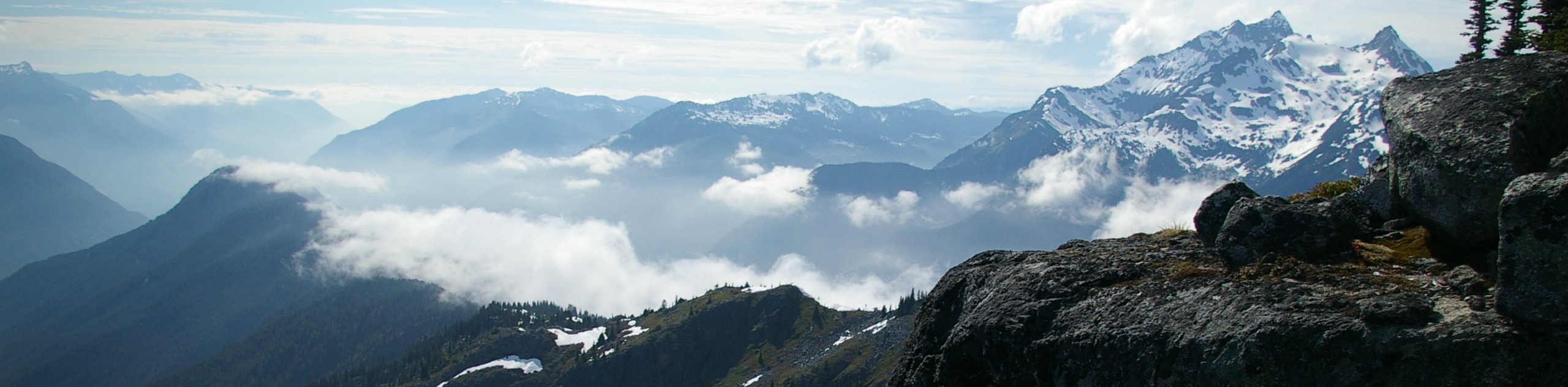
The Williamson Lake Trail is a short but intense 2.5mi hiking route near Chilliwack Lake Provincial Park that will take hikers to a quaint alpine lake surrounded by mountain views. Along the trail you will hike along densely forested paths and through a scenic alpine meadow to reach the lake. Exploring the area around the lake will reveal some amazing views of the surrounding area, as well as a few cascading waterfalls.
Getting there
To reach the trailhead for Williamson Lake from Chilliwack, drive south along Vedder Road and take the second exit at the roundabout to get onto Chilliwack Lake Road. Head east for 16.7mi, before making a left onto Foley Creek FSR. After 1.2mi, turn right to stay on the road and continue on for another 4.8km. Make a slight left and you will reach the trailhead in 2.8mi.

About
| When to do | July-September |
| Backcountry Campsites | No |
| Pets allowed | Yes |
| Family friendly | No |
| Route Signage | Average |
| Crowd Levels | Low |
| Route Type | Out and back |
Williamson Lake Trail
Elevation Graph
Weather
Williamson Lake Trail Description
The Williamson Lake Trail is a challenging hiking route near Chilliwack Lake Provincial Park that traverses some steep terrain to reach the charming waters of Williamson Lake. Located in the Cheam Range, the trailhead can be found at the end of a logging road that will require a 4×4 or high clearance vehicle to reach. If you make the trip in a regular vehicle, you can park lower on the road near Foley Lake and travel the extra distance on foot.
This trail is short but steep. It’s well-marked, climbing first along an ATV track before crossing a creek. Watch for orange markers through the forest, and then approach the sidehill. This section is difficult due to several exposed rock bands you’ll need to negotiate. Novice hikers may be intimidated by this section and we’d not recommend it for dogs.
The trail climbs uphill through beautiful stretches of forest and alpine meadows to reach Williamson Lake. Once there, hikers will have amazing views of the quaint lake and the surrounding mountains that tower overhead. Hiking an optional side trail to the east of the lake will also reveal some spectacular waterfalls. Please be bear aware during berry season on this hike.
Similar hikes to the Williamson Lake Trail hike
Williams Peak Trail
Hiking the Williams Peak Trail is a physically demanding adventure in the Fraser Valley that climbs up a steep ridge…

Chipmunk Creek Trail
Hike along the Chipmunk Creek Trail to experience the feeling of solitude along the trail while taking in scenic views…

Flora Peak Trail
The Flora Peak Trail is an 7.1mi out-and-back hiking route that will take you through dense forests and…
Comments