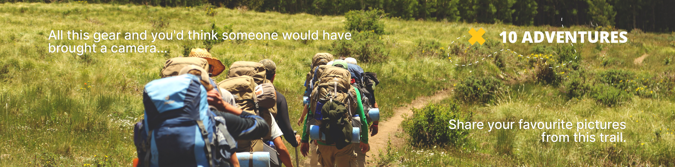
Hunter Trail
View Photos
Hunter Trail
Difficulty Rating:
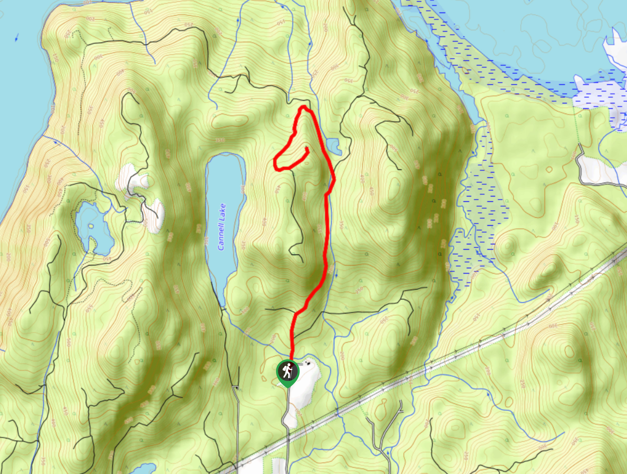
The Hunter Trail is a 4.8mi out-and-back route that offers a big bang for your buck in terms of views. Hiking along the gradual incline up an old logging road, hikers will be able to take in the beauty of the forest setting before being rewarded at the end of the trail with spectacular views. From this vantage point you will have a picturesque image of Stave Lake, with the mountains of Golden Ears Provincial Park framing the backdrop.
Getting there
To reach the Hunter Trail from Stave Falls, drive east on Dewdney Trunk Road for 3.1mi and turn left onto Cardinal Street. Quickly make another left onto Ainsworth Street and follow it for 984ft. Make a right onto Roach Street, continuing on for 2.1mi to reach the trailhead.

About
| When to do | May-October |
| Backcountry Campsites | No |
| Pets allowed | Yes - On Leash |
| Family friendly | Older Children only |
| Route Signage | Average |
| Crowd Levels | Moderate |
| Route Type | Out and back |
Hunter Trail
Elevation Graph
Weather
Hunter Trail Description
The Hunter Trail is a moderate hiking route just north of Mission, BC that climbs up an old logging road to provide some amazing views overlooking Stave Lake. Note that the parking area is just a small emergency turnaround area, so only a few cars can safely park here at a time. We recommend arriving early to secure a parking spot.
The trail has a moderate elevation gain of 1063ft that is stretched over the length of the route, creating a slow burn as you gradually work your way up through the forest. The first incline push is the most intense, so persevere and you’ll be rewarded. Keep left at all forks.
Reaching the viewpoint, hikers will have spectacular views of Stave Lake with a multitude of rugged mountains in the backdrop, including the majestic Mount Robie Reid. This is an awesome route for both casual and experienced hikers, with little required effort and amazing views. While descending, keep generally right.
Similar hikes to the Hunter Trail hike

Chipmunk Creek Trail
Hike along the Chipmunk Creek Trail to experience the feeling of solitude along the trail while taking in scenic views…

Matsqui Trail
The Matsqui Trail is a 16.7mi multi-use trail that travels alongside the Fraser River and provides nice views…

Flora Peak Trail
The Flora Peak Trail is an 7.1mi out-and-back hiking route that will take you through dense forests and…
Comments