Williams Peak Trail
View Photos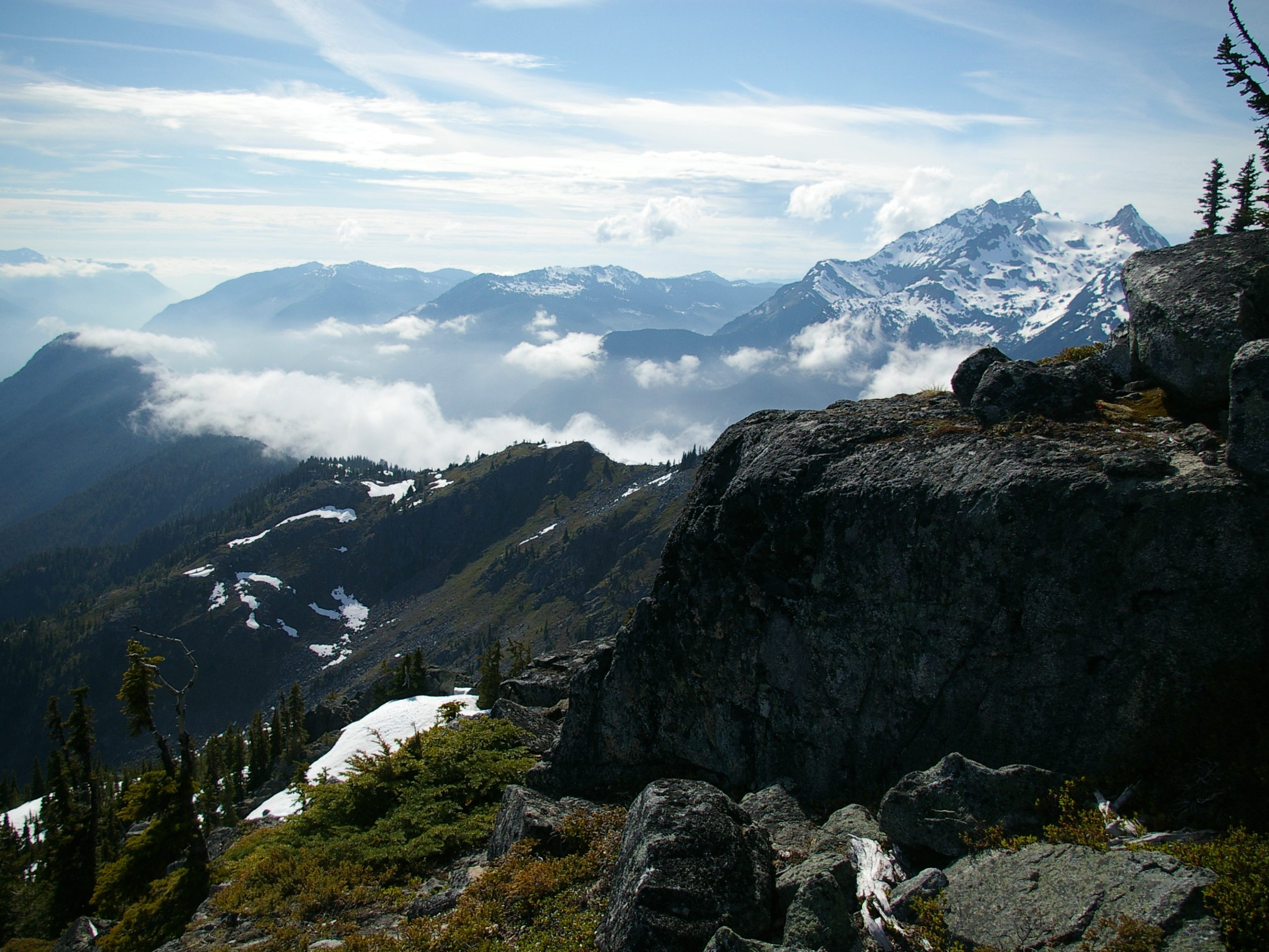
Williams Peak Trail
Difficulty Rating:
Hiking the Williams Peak Trail is a physically demanding adventure in the Fraser Valley that climbs up a steep ridge before a technical push to the summit. This 9.3mi out-and-back hiking route provides hikers with absolutely amazing views of the surrounding area, but not without punishing them along the journey. During the summertime there are few water sources along the trail, so make sure to pack extra so that you can stay hydrated on this tough uphill hike.
Getting there
To access the Williams Peak trailhead from Chilliwack, make your way southeast on Vedder Road and take the second exit on the roundabout. Continue along CHilliwack Lake Road for 20.3mi, where you will find the trailhead on the left.

About
| When to do | March-November |
| Backcountry Campsites | No |
| Pets allowed | No |
| Family friendly | No |
| Route Signage | Average |
| Crowd Levels | Low |
| Route Type | Out and back |
Williams Peak Trail
Elevation Graph
Weather
Williams Peak Trail Description
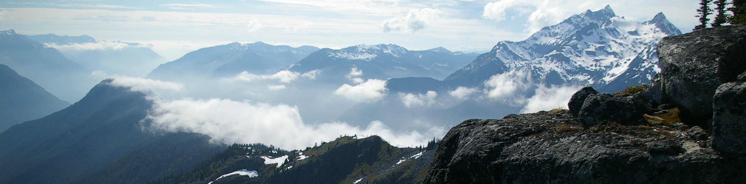
The Williams Peak Trail is a challenging out-and-back hiking route near Chilliwack Lake Provincial Park that should only be attempted by experienced hikers due to the extremely steep incline and rugged nature of the route. The initial portion of the hike is a steep climb up to Williams Ridge that packs a physically demanding 2861ft of elevation gain into a short distance of 1.4mi. With your legs burning from the uphill grind, you will then need to traverse the ridgeline on the approach to the summit. This portion of the trail has several boulder fields and small scrambles as well as a very steep grade, making for a technical climb up the peak. For those hikers that do make it to the summit, you will be greeted with spectacular views overlooking Chilliwack Lake Provincial Park. Make sure to wear proper hiking footwear, bring extra gear like crampons or microspikes, and pack extra water for this challenging trail in the Fraser Valley.
Similar hikes to the Williams Peak Trail hike

Chipmunk Creek Trail
Hike along the Chipmunk Creek Trail to experience the feeling of solitude along the trail while taking in scenic views…

Flora Peak Trail
The Flora Peak Trail is an 7.1mi out-and-back hiking route that will take you through dense forests and…
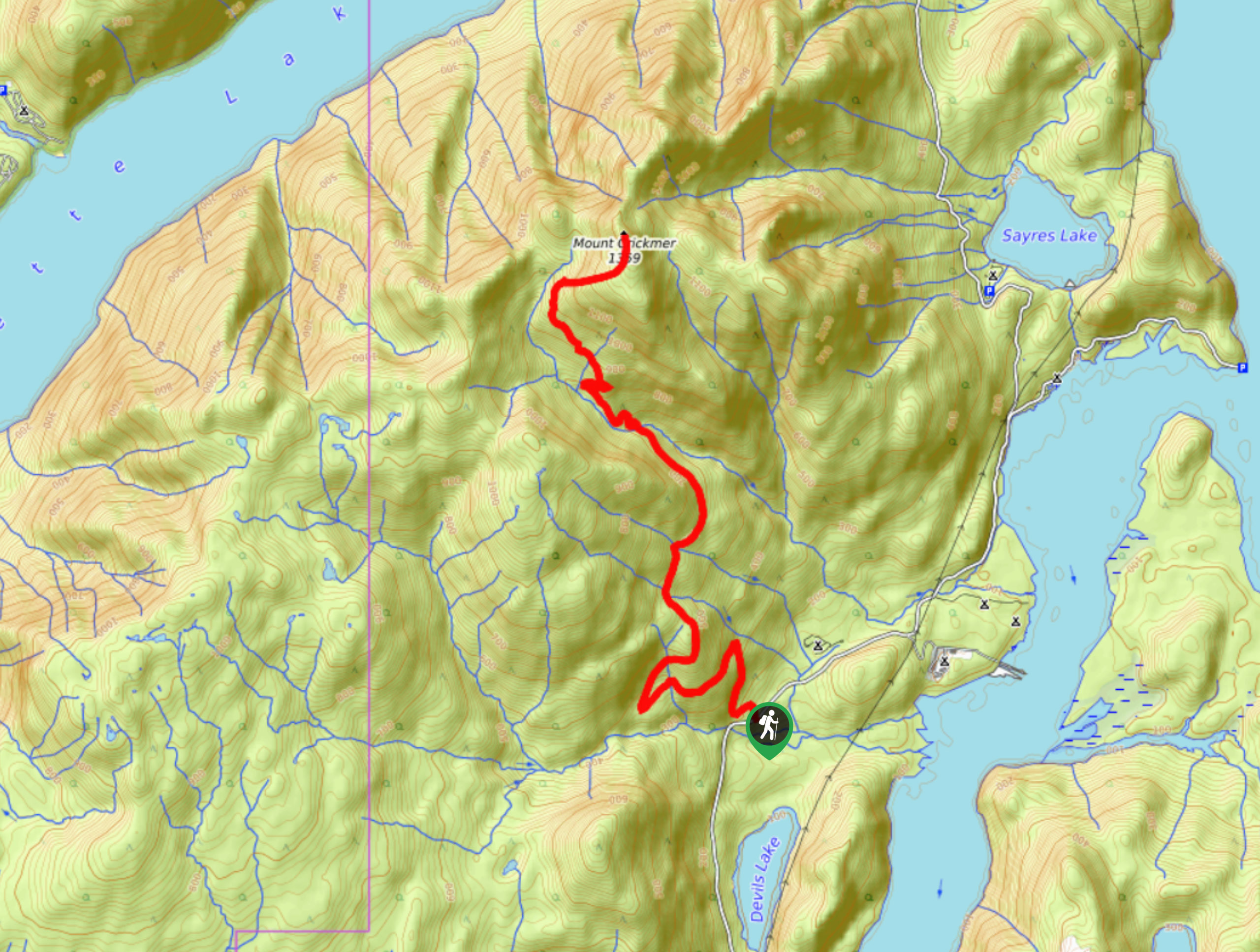
Mount Crickmer
The hike up to Mount Crickmer is a difficult climb along an overgrown trail that will reveal picturesque views of…
Comments