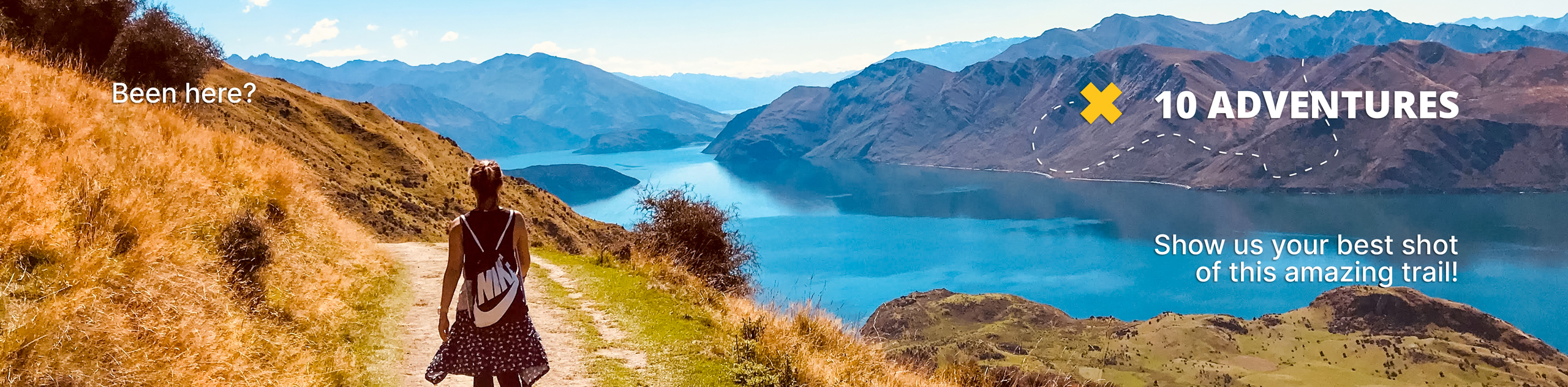
Mount Crickmer
View Photos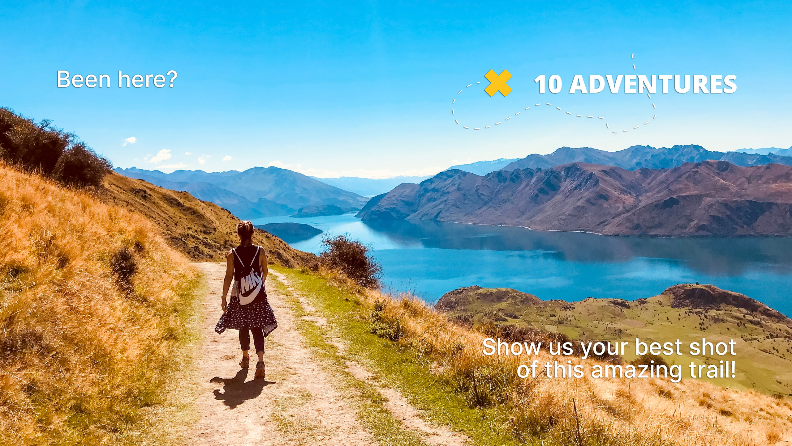
Mount Crickmer
Difficulty Rating:
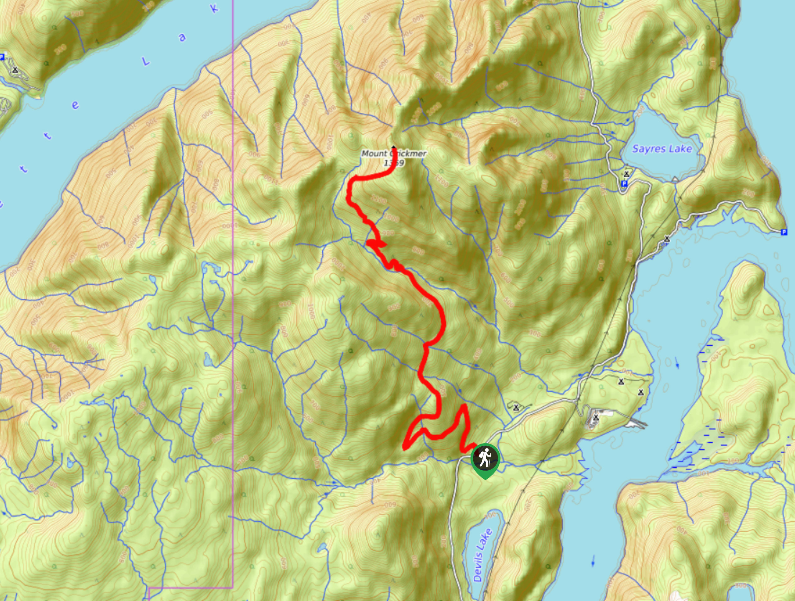
The hike up to Mount Crickmer is a difficult climb along an overgrown trail that will reveal picturesque views of Golden Ears Provincial Park as well as Stave and Alouette lakes. This 12.4mi out-and-back hiking route has varied terrain, first traversing a forest service road before transitioning to an overgrown trail. Don’t miss out on the opportunity to hike to the highest point in the Mission District.
Getting there
To reach the Mount Crickmer Trailhead from Stave Falls, drive north on Burma Street for 3.8mi and make a slight right onto Florence Lake FSR. In 2953ft, you will find the trailhead on your left.

About
| When to do | June-November |
| Backcountry Campsites | No |
| Pets allowed | Yes |
| Family friendly | No |
| Route Signage | Poor |
| Crowd Levels | Low |
| Route Type | Out and back |
Mount Crickmer
Elevation Graph
Weather
Mount Crickmer Trail Description
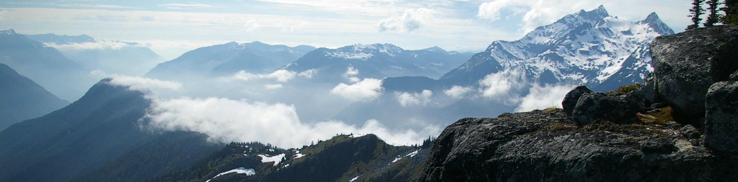
The hike to Mount Crickmer is a tough but rewarding out-and-back trail that will take you to the summit, where you can enjoy spectacular views overlooking Stave and Alouette lakes that stretch out across the mountains of Golden Ears Provincial Park. Initial stretches of the trail involve hiking along a forest service road before a bit of bushwhacking through overgrown terrain and an exposed final ascent to the summit.
Reaching the top of Mount Crickmer, you will have amazing views over the surrounding area. To the north in Golden Ears Provincial Park, you will be able to spot the majestic peaks of Mount Nutt, Mount Gatey, and Mount Robie Reid. To the east you can see the long expanse of Stave Lake and to the west the beautiful waters of Alouette Lake down below. If you can get past the less exciting initial section of this trail, you will be rewarded with an awesome visual experience to rival some of the best in the area.
Similar hikes to the Mount Crickmer hike
Williams Peak Trail
Hiking the Williams Peak Trail is a physically demanding adventure in the Fraser Valley that climbs up a steep ridge…

Chipmunk Creek Trail
Hike along the Chipmunk Creek Trail to experience the feeling of solitude along the trail while taking in scenic views…

Flora Peak Trail
The Flora Peak Trail is an 7.1mi out-and-back hiking route that will take you through dense forests and…
Comments