
Flood Falls
View Photos
Flood Falls
Difficulty Rating:
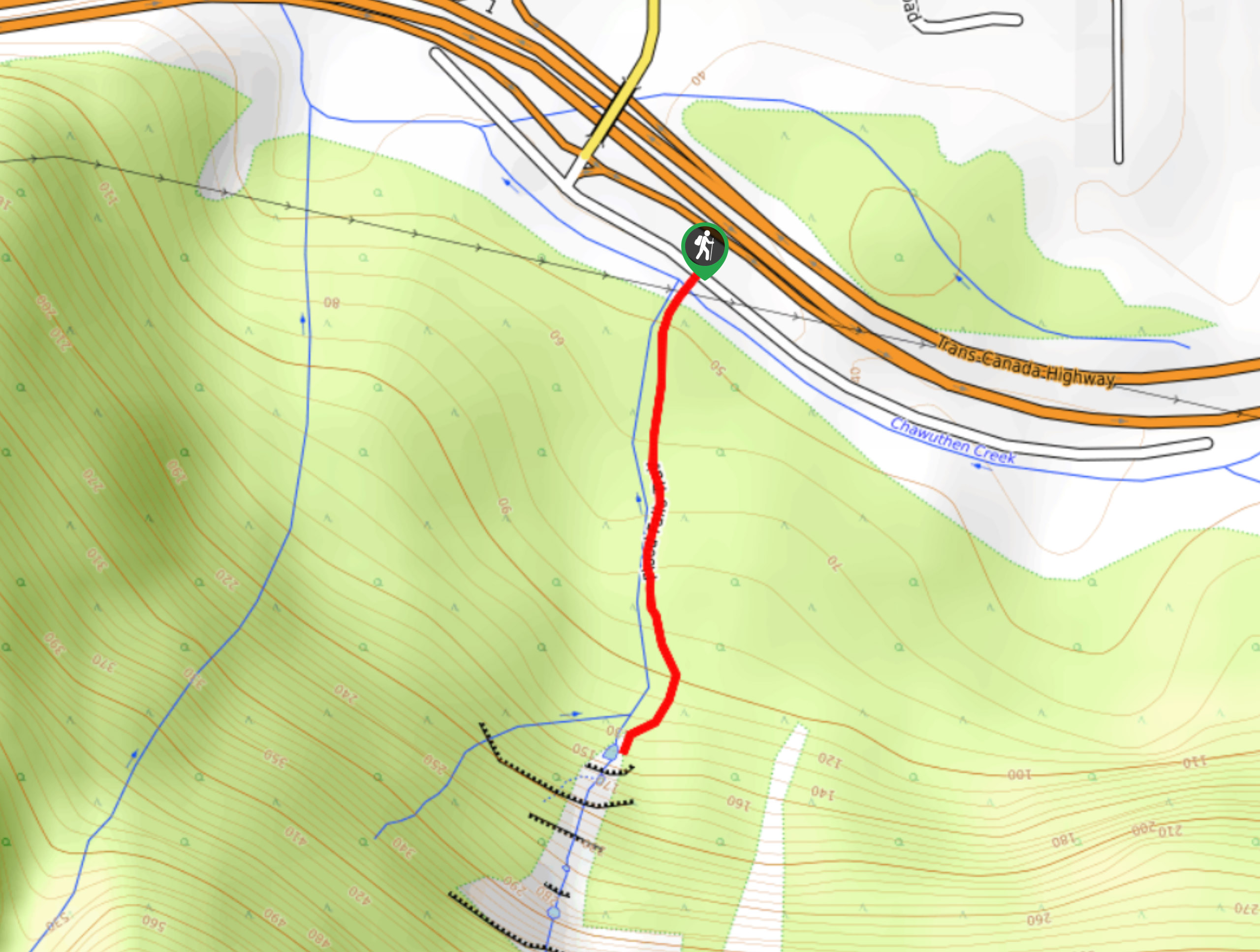
The hike to Flood Falls is a short out-and-back trail that travels along a 0.6mi forest path to reach this scenic rock formation. Located just outside of the city of Hope, this hiking route is a popular option for families due to the short length of the trail and the big wow factor of the water gushing over the falls. The volume of this waterfall surges during wetter months of the year, so it might not be as prominent if you hike the trail during the heat of summer.
Getting there
To reach Flood Falls from Hope, drive southwest on BC-1 W and take exit 165. Continue on Flood-Hope Road for 394ft and make a right to stay on the same road. Keep straight for 853ft and turn left, where you will find the trailhead in 492ft.

About
| When to do | March-October |
| Backcountry Campsites | No |
| Pets allowed | Yes - On Leash |
| Family friendly | Yes |
| Route Signage | Average |
| Crowd Levels | Moderate |
| Route Type | Out and back |
Flood Falls
Elevation Graph
Weather
Flood Falls Trail Description
Flood Falls is a quick hiking route just west of Hope, BC that passes through a charming stretch of West Coast rainforest on the way to a beautiful cascading waterfall. This 0.6mi trail has very little change in elevation, making it a perfect excursion for hikers of all skill levels and families with young children. Make sure to arrive early as parking at the trailhead is limited. This scenic route is best timed for April or May when the water flowing down the rocky falls is at its highest volume.
Similar hikes to the Flood Falls hike
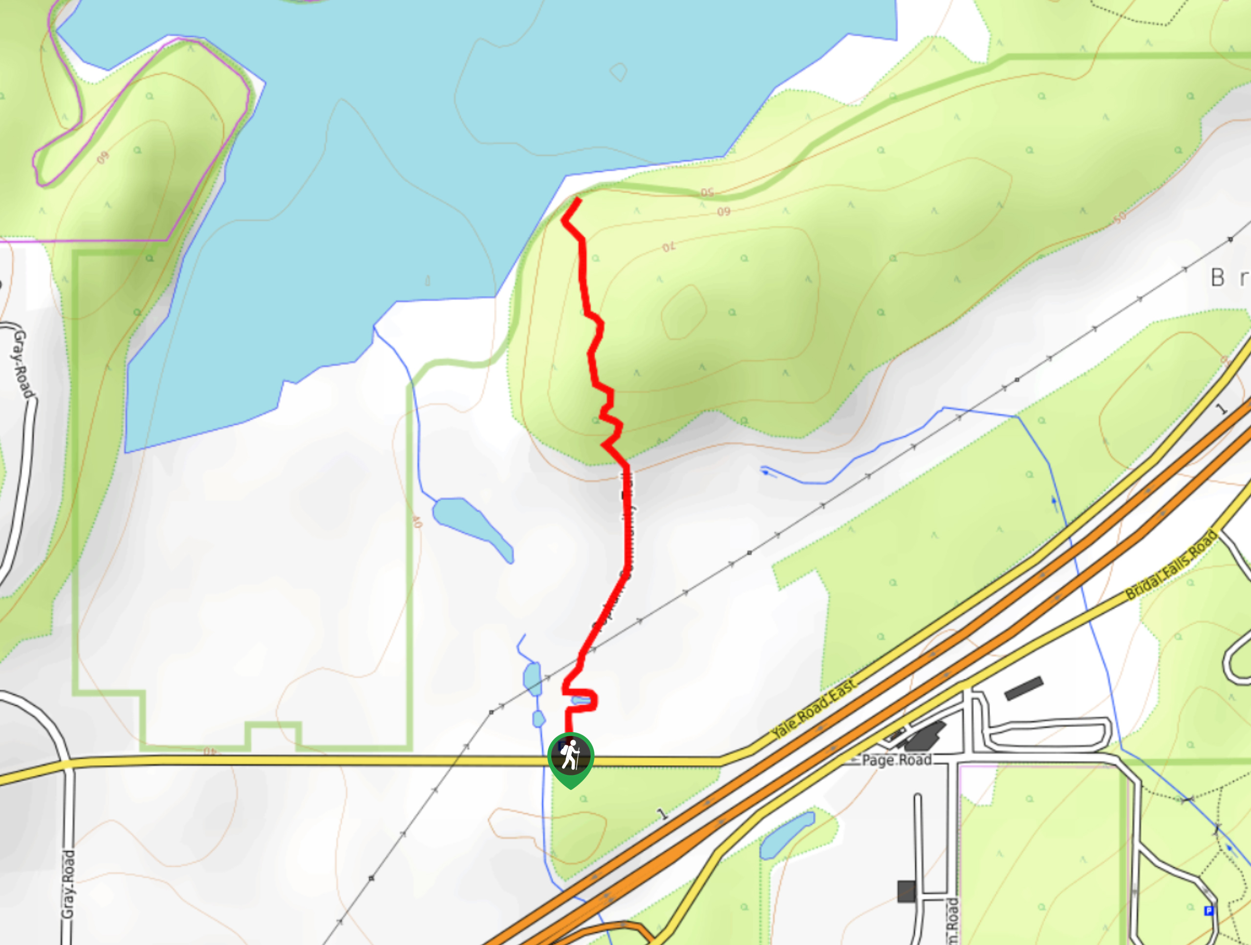
Popkum Community Trail
Hike along the Popkum Community Trail for a fun and educational experience where you can learn about the wildlife and…
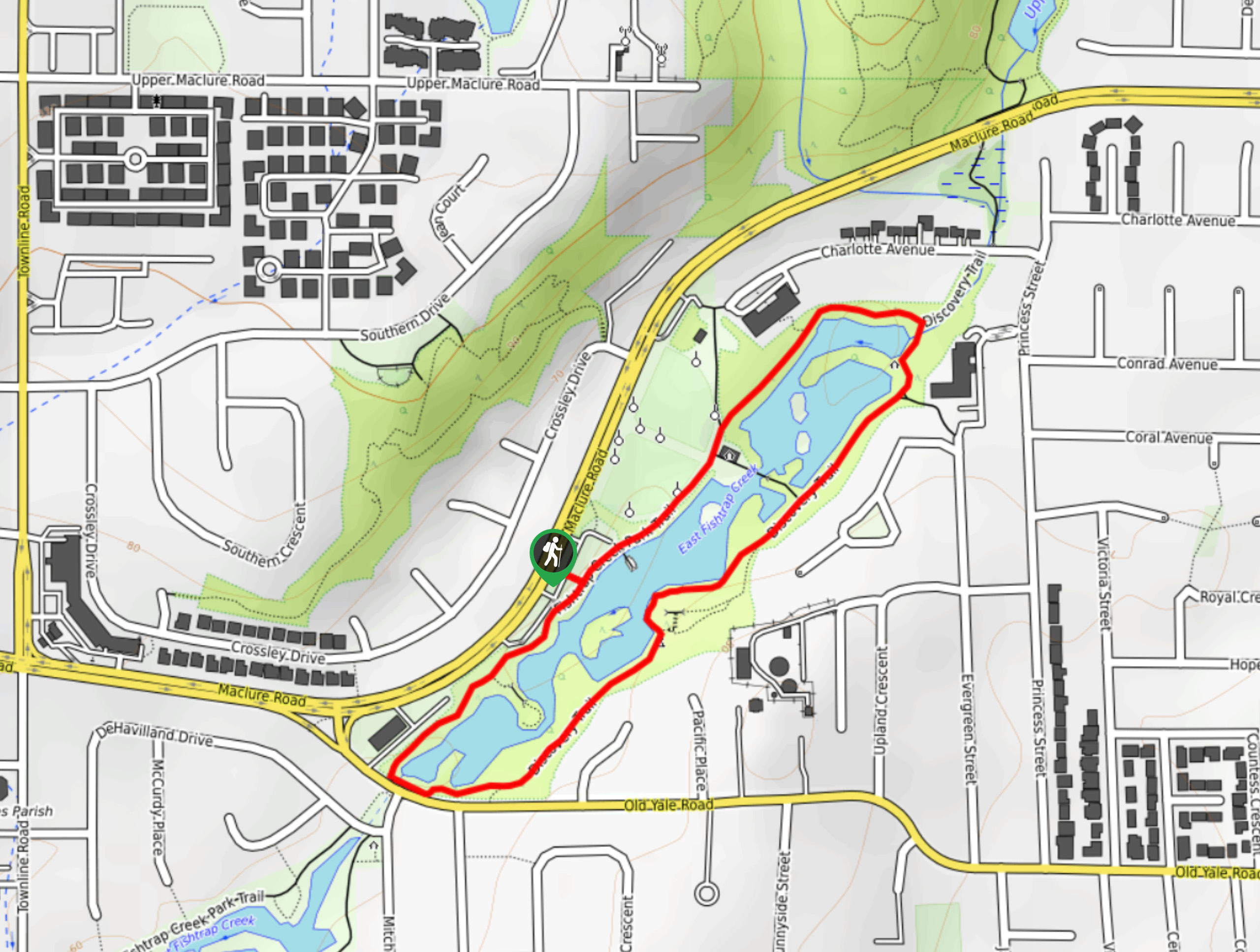
Fishtrap Creek Loop
Hiking the Fishtrap Creek Loop in Abbotsford is a great way to get out and explore the natural beauty of…

Matsqui Trail
The Matsqui Trail is a 16.7mi multi-use trail that travels alongside the Fraser River and provides nice views…
Comments