Vedder River Loop
View Photos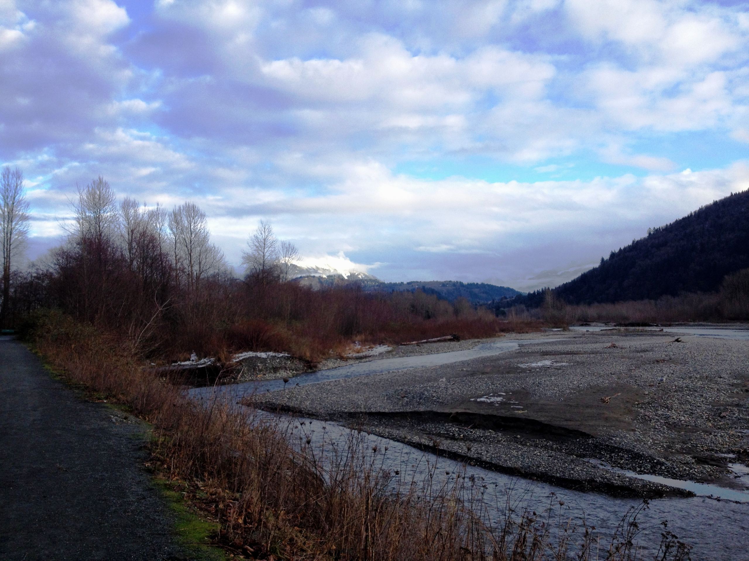
Vedder River Loop
Difficulty Rating:
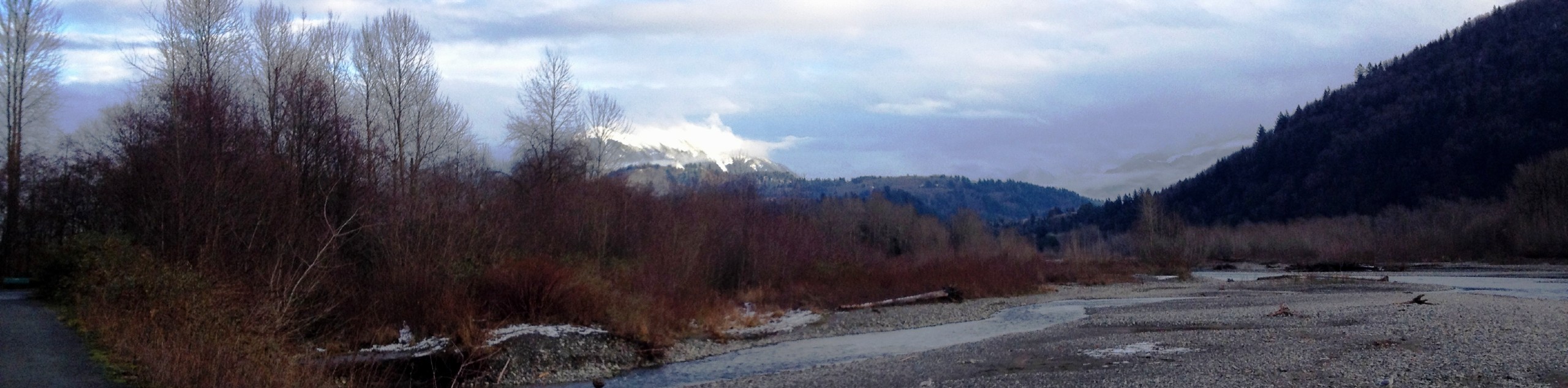
The Vedder River Loop is a scenic trail that encompasses both the north and south banks of the Vedder River just south of the city of Chilliwack, BC. Along the route, hikers will be able to spot unique wildlife and view the rugged mountains that frame this lower part of the valley. This route is long but easy to traverse, making it a great option for beginner and experienced hikers alike.
Getting there
To get to the parking lot at Vedder Park from Chilliwack, head south on Vedder Road and turn right onto Petawawa Road. After 1640ft, turn left to enter into the parking area.

About
| When to do | Year-Round |
| Backcountry Campsites | Vedder River Campground |
| Pets allowed | Yes - On Leash |
| Family friendly | Older Children only |
| Route Signage | Average |
| Crowd Levels | High |
| Route Type | Circuit |
Vedder River Loop
Elevation Graph
Weather
Vedder River Trail Description
The Vedder River Loop is a lengthy hiking routh south of Chilliwack, BC that travels along the northern bank of the river before crossing over and completing the return journey along its southern bank. Spanning a distance of 12.8mi, this trail has some amazing mountain views, as well as the opportunity to view the various wildlife that live in close proximity to the river, including bald eagles and beavers. The trail is mostly flat, which makes for an easy experience; however, the length of the trail is what gives it its moderate rating. If you are looking to complete the entirety of the route, it is best done in the summer, as the area along the river bank tends to flood during the wet season.
Similar hikes to the Vedder River Loop hike

Chipmunk Creek Trail
Hike along the Chipmunk Creek Trail to experience the feeling of solitude along the trail while taking in scenic views…

Matsqui Trail
The Matsqui Trail is a 16.7mi multi-use trail that travels alongside the Fraser River and provides nice views…

Flora Peak Trail
The Flora Peak Trail is an 7.1mi out-and-back hiking route that will take you through dense forests and…
Comments