Thurston Mountain
View Photos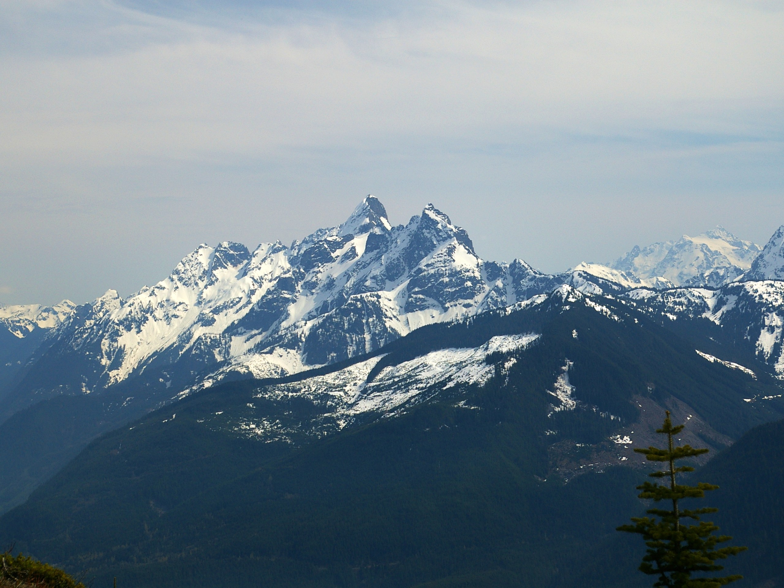
Thurston Mountain
Difficulty Rating:
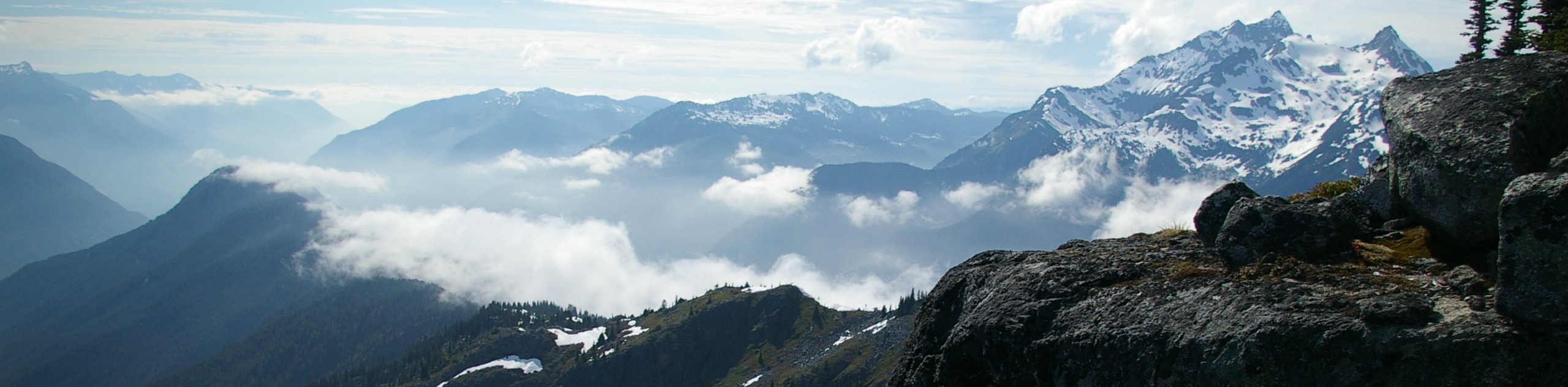
Thurston Mountain is a challenging out-and-back hiking trail southeast of Chilliwack, BC that climbs uphill along a beautifully forested route and comes out onto a ridgeline that leads to the summit of the mountain. Along the trail you can expect some amazing views that stretch out across the fertile valley below. Arrive early to this beautifully scenic hike so that you can have the entire ridgeline to yourself.
Getting there
To get to the Thurston Mountain trailhead from Chilliwack, make your way southeast on Vedder Road and turn left onto Knight Road. Continue on this for 2461ft and make a right turn on Chilliwack River Road. Keep straight for 0.9mi, turning left onto McGuire Road and following it for 0.8mi. Make a right onto Prest Road and take the third exit on the roundabout. You will find the parking area on your left in 6.8mi.

About
| When to do | July-October |
| Backcountry Campsites | No |
| Pets allowed | Yes |
| Family friendly | No |
| Route Signage | Average |
| Crowd Levels | Moderate |
| Route Type | Out and back |
Thurston Mountain
Elevation Graph
Weather
Thurston Mountain Description
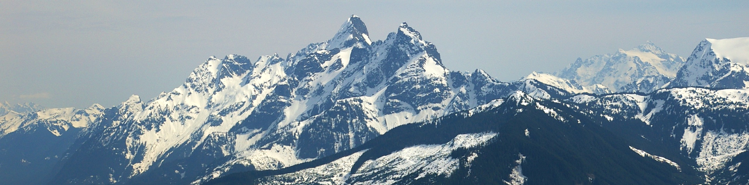
The hike to Thurston Mountain is a tough but scenic trail that climbs up the Elk Mountain Trail and pushes further along the ridge to reach Thurston Mountain. The trail initially winds through the dense forest before breaking out of the tree cover along an exposed ridge. At this point in the trail, hikers will have scenic views across the valley asd they traverse the ridgeline to Thurston Mountain.
Throughout the hike, you will be able to spot a number of prominent landmarks, including the winding Chilliwack River in the valley below, as well as Mount Mercer to the east, Mount McGuire to the south, and Mount Pierce to the southeast. Remember to pack plenty of water for this trek as there are few sources along the trail.
Similar hikes to the Thurston Mountain hike
Williams Peak Trail
Hiking the Williams Peak Trail is a physically demanding adventure in the Fraser Valley that climbs up a steep ridge…

Chipmunk Creek Trail
Hike along the Chipmunk Creek Trail to experience the feeling of solitude along the trail while taking in scenic views…

Flora Peak Trail
The Flora Peak Trail is an 7.1mi out-and-back hiking route that will take you through dense forests and…
Comments