Knight Peak Trail
View Photos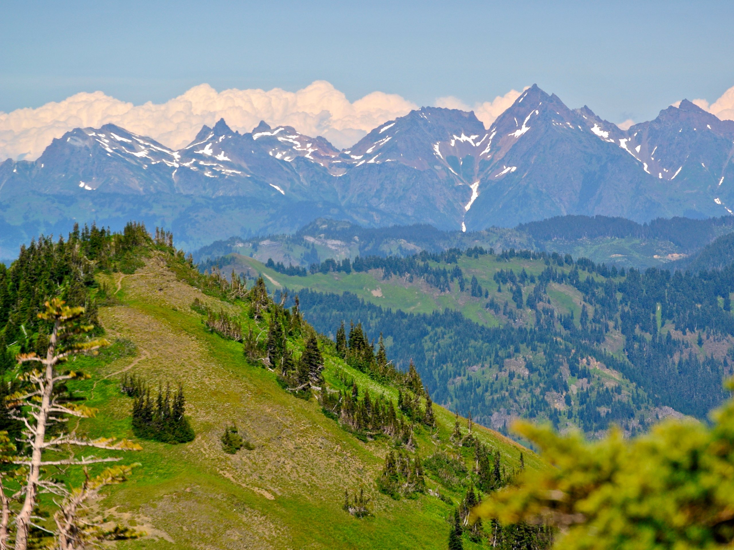
Knight Peak Trail
Difficulty Rating:
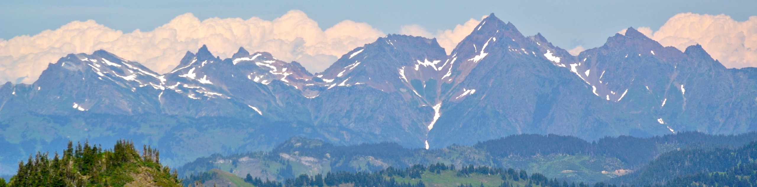
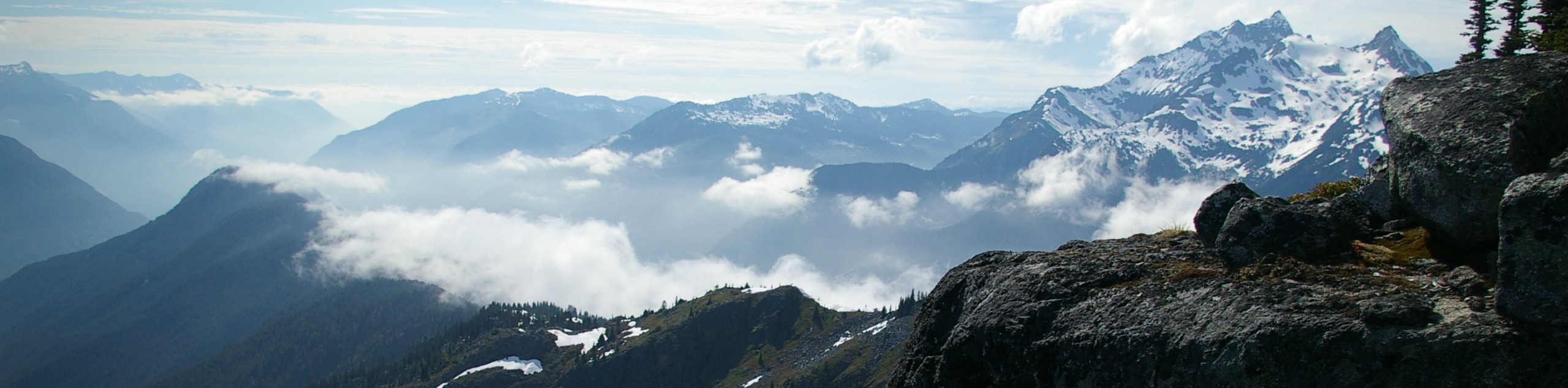
The Knight Peak Trail is an extremely challenging hike into the Cheam Mountain Range that should only be attempted by experienced hikers. The trail climbs steeply uphill before breaking off along an unmarked route to the peak. For this reason, hikers will need to be experienced in route finding in order to safely make their way to the summit. If you are able to make it to the top of Knight Peak, you will be rewarded with truly spectacular views of the entire region.
Getting there
To get to the trailhead for Knight Peak from Chilliwack, drive south on Vedder Road and take the second exit on the roundabout. Continue along Chilliwack Lake Road for 16.7mi and turn left onto Foley Creek FSR. After 1.2mi, turn right to stay on the road and follow it for another 1.5mi. Here you will need to turn left and you will find the trailhead in 2.4mi.

About
| When to do | July-September |
| Backcountry Campsites | Baby Munday Meadows |
| Pets allowed | No |
| Family friendly | No |
| Route Signage | Poor |
| Crowd Levels | Low |
| Route Type | Out and back |
Knight Peak Trail
Elevation Graph
Weather
Knight Peak Trail Description
The Knight Peak Trail is a lightly-trafficked out-and-back hiking route near Chilliwack Lake Provincial Park that should only be attempted by experienced hikers. Additionally, hikers will need a 4×4/high clearance vehicle to reach the trailhead, or else they can park further below along Foley Creek FSR and walk the additional distance.
This 7.0mi route climbs steeply uphill through the forest until you reach a scenic meadow. The steep trail then continues through the sub-alpine terrain until it turns east toward Baby Munday Peak. Grades along this section are about 50%, so poles are highly recommended. Instead of following this trail, hikers will instead continue north and find their own route up the steep, exposed ridge to Knight Peak. You will be making your own route along talus, boulders, and snow.
This is a very challenging trail that should be undertaken with caution and should only be attempted by those with adequate experience in route finding and climbing. Reaching the summit of Knight Peak, hikers will have spectacular views of the Cheam Range and the surrounding peaks and valleys.
Similar hikes to the Knight Peak Trail hike
Williams Peak Trail
Hiking the Williams Peak Trail is a physically demanding adventure in the Fraser Valley that climbs up a steep ridge…

Chipmunk Creek Trail
Hike along the Chipmunk Creek Trail to experience the feeling of solitude along the trail while taking in scenic views…

Flora Peak Trail
The Flora Peak Trail is an 7.1mi out-and-back hiking route that will take you through dense forests and…
Comments