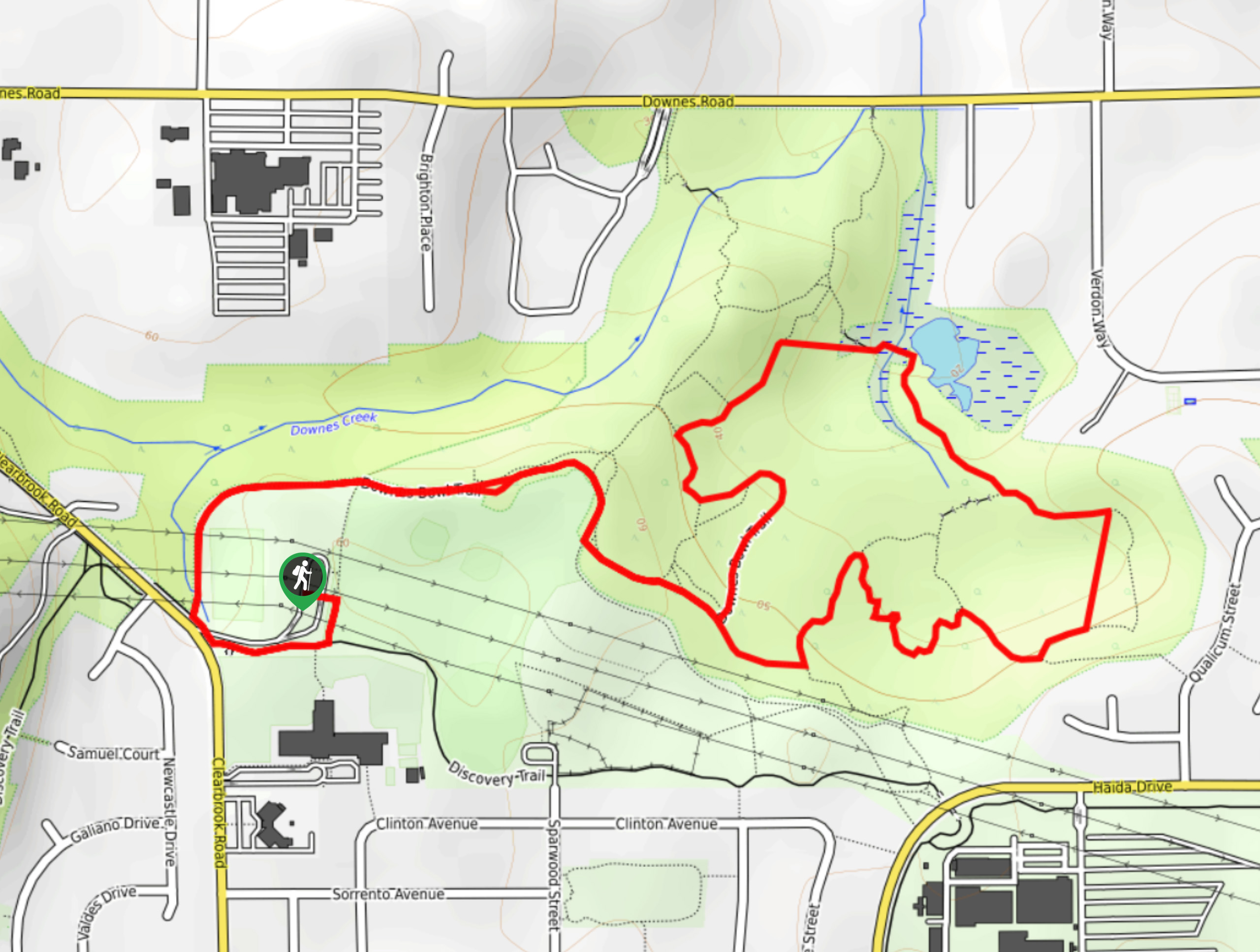
Downes Bowl Park
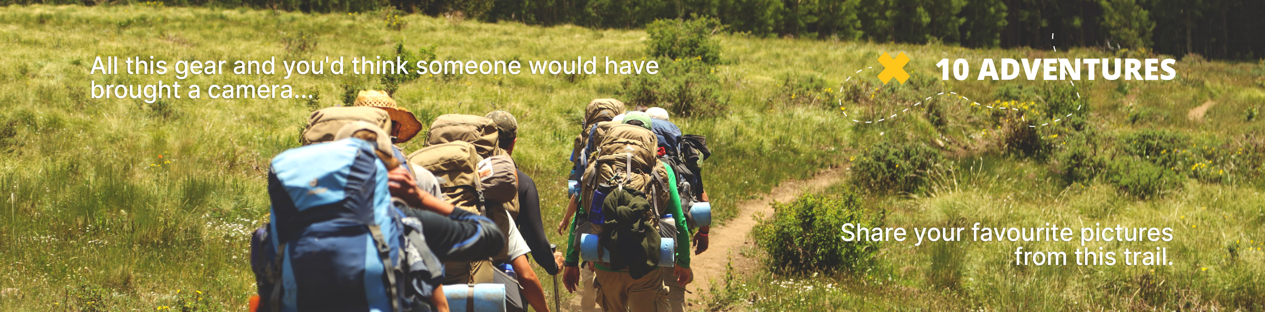
View Photos
Downes Bowl Park
Difficulty Rating:
Hiking through Downes Bowl Park is a great way to experience the natural beauty within the city of Abbotsford. This 2.7mi trail stretches across some relatively flat terrain, making it perfect for outdoor activities with the family. The path is part of a good network of trails within the small park, allowing you to stroll around through the woodland landscape without the fear of getting lost, but with all the feeling of a good adventure.
Getting there
To reach the parking area for Downes Bowl Park from Abbotsford, drive west on South Fraser Way and turn right onto Clearbrook Road. Continue on for 1.2mi and turn right to reach the parking area.

About
| When to do | Year-Round |
| Backcountry Campsites | No |
| Pets allowed | Yes - On Leash |
| Family friendly | Yes |
| Route Signage | Average |
| Crowd Levels | Moderate |
| Route Type | Lollipop |
Downes Bowl Park
Elevation Graph
Weather
Downes Bowl Park Description
Downes Bowl Park in Abbotsford, BC offers a great network of trails along flat terrain, making the area great for a family-friendly day of adventuring. The park isn’t overly large, but the system of trails is fairly extensive, allowing you to explore the area without the fear of getting lost or requiring a GPS. The trail is largely forested but features sections of boardwalk along a marshy area that provides a good opportunity to check out the various species of wildlife that can be found in the area. This quick 2.7mi hiking route is a great option to get out on the weekend and enjoy nature without leaving the city.
Similar hikes to the Downes Bowl Park hike
Popkum Community Trail
Hike along the Popkum Community Trail for a fun and educational experience where you can learn about the wildlife and…
Fishtrap Creek Loop
Hiking the Fishtrap Creek Loop in Abbotsford is a great way to get out and explore the natural beauty of…

Matsqui Trail
The Matsqui Trail is a 16.7mi multi-use trail that travels alongside the Fraser River and provides nice views…
Comments