Cascade Falls
View Photos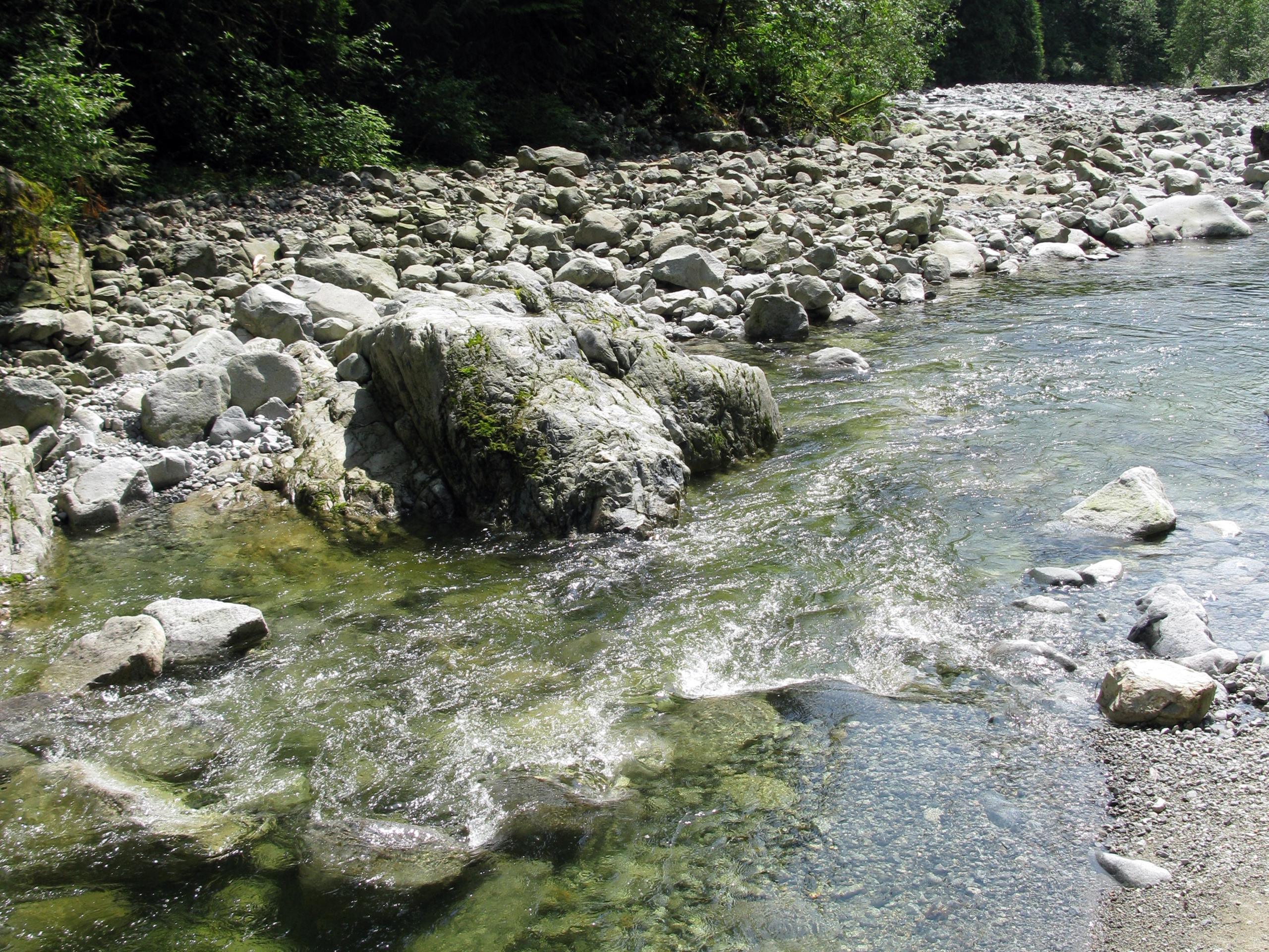
Cascade Falls
Difficulty Rating:
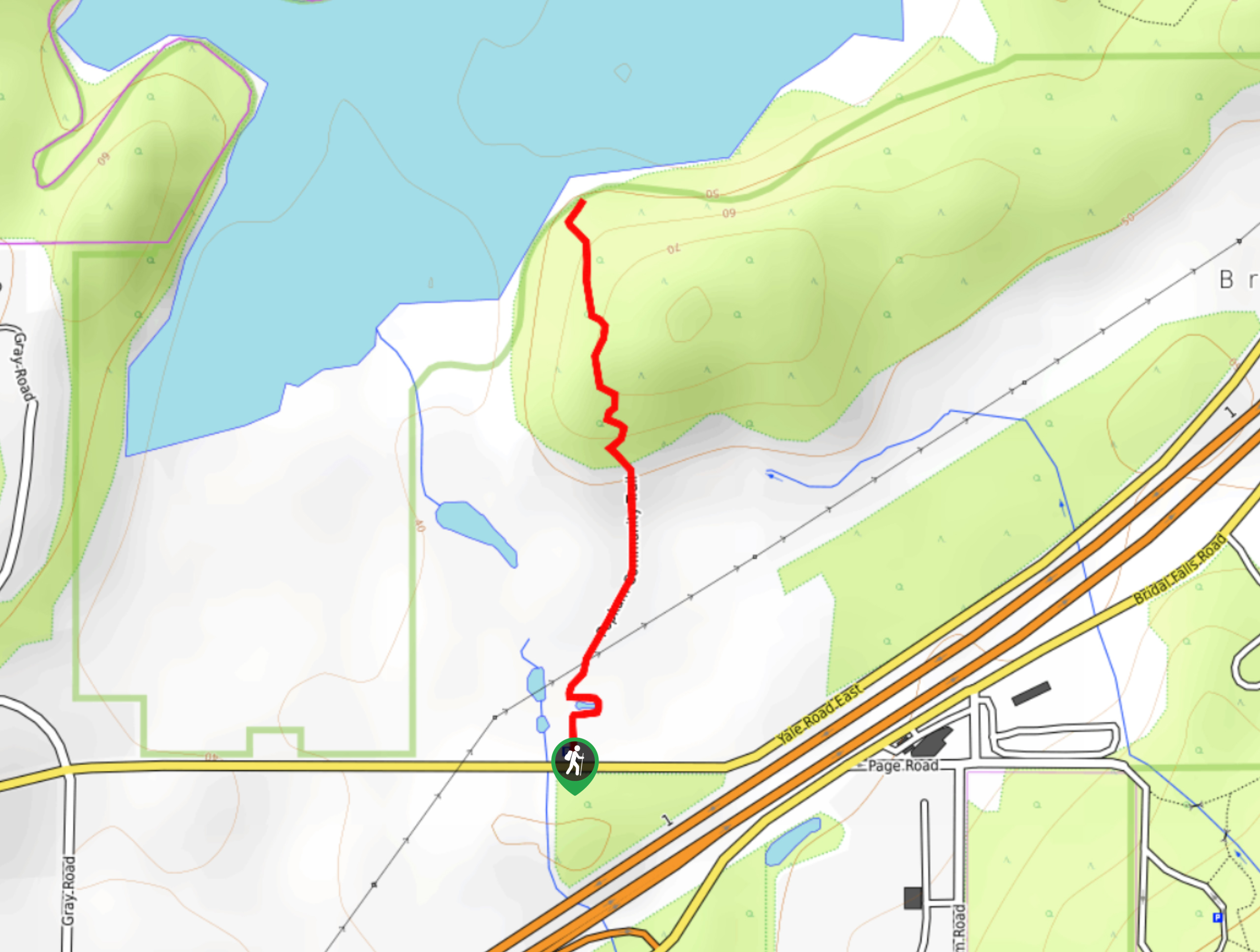
The trail to Cascade Falls is a short 0.4mi out-and-back hiking route north of Mission, BC that takes you to a suspension bridge overlooking the beautiful waterfall. The trail climbs briefly uphill before ascending a set of wooden stairs to the falls. A parallel gravel road also offers easy access to the suspension bridge for those not wanting to take the stairs. This is a great hike for families with young kids.
Getting there
To reach the parking area for Cascade Falls from Mission, drive east on BC-7 for 5.3mi and turn left onto Sylvester Road. After 9.1mi, turn right onto Ridgeview Road. You will find the parking area after 2953ft.

About
| When to do | April-October |
| Backcountry Campsites | No |
| Pets allowed | Yes - On Leash |
| Family friendly | Yes |
| Route Signage | Average |
| Crowd Levels | Moderate |
| Route Type | Out and back |
Cascade Falls
Elevation Graph
Weather
Cascade Falls Trail Description
The hike to Cascade Falls is a quick affair that will take you up a set of wooden stairs and over a suspension bridge to view the torrenting waterfall. Less mobile hikers or families with a stroller can still view the falls by means of a gravel road that runs parallel to the trail. This is a very short hike with the express purpose of visiting the waterfall. Hikers looking for a longer route might consider travelling a few minutes north to access the network of trails that stem from Davis Lake Provincial Park.
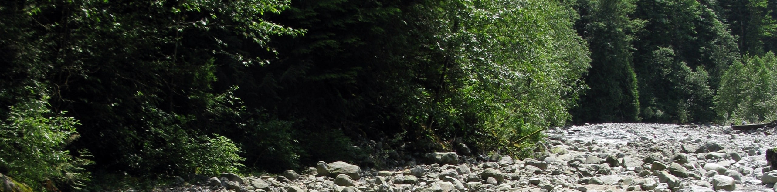
Although short, this hiking route is a beautifully scenic walk through the forest, and the views of the rushing waters of Cascade Falls crashing down into the emerald pool below are truly spectacular. Along the route you will be able to take in the peaceful atmosphere as you hike through the trees and listen to the sounds of the rushing water. This hike has a real wow-factor for the minimal effort it takes to reach the falls.
Setting out from the parking area, make your way past the yellow gate and into the trees to begin a short climb uphill. You will soon reach a set of wooden stairs that will take you further uphill towards the falls. Making your way up the staircase, you will have views of Cascade Creek and a scenic ravine off to the right side. As you come to the top of the stairs, you will be greeted by amazing views of the Cascade Falls.
Make your way across the suspension bridge to view the water as it crashes down 30m and flows under the bridge through the ravine. The area around the falls can be dangerous due to the high volume of water that continuously flows downstream. It is best to stay on the trail and away from the edge to avoid a dangerous fall. After taking in the spectacular views of Cascade Falls, make your way back along the trail to return to the parking area.
Other Amazing Hikes in Fraser Valley
Check out our guides to Lindeman Lake, Bridal Veil Falls, Elk Mountain Trail or Hicks Lake Hike. Or see all our hikes in Fraser Valley on 10Adventures.
Insider Hints
Utilize the gravel road to reach the falls if you can’t traverse the stairs.
Arrive early to get parking and beat the crowds.
Exercise caution around the falls,as it is a steep drop off and can be slippery.
Similar hikes to the Cascade Falls hike
Popkum Community Trail
Hike along the Popkum Community Trail for a fun and educational experience where you can learn about the wildlife and…
Fishtrap Creek Loop
Hiking the Fishtrap Creek Loop in Abbotsford is a great way to get out and explore the natural beauty of…

Matsqui Trail
The Matsqui Trail is a 16.7mi multi-use trail that travels alongside the Fraser River and provides nice views…
Comments