Weatherford Trail
View Photos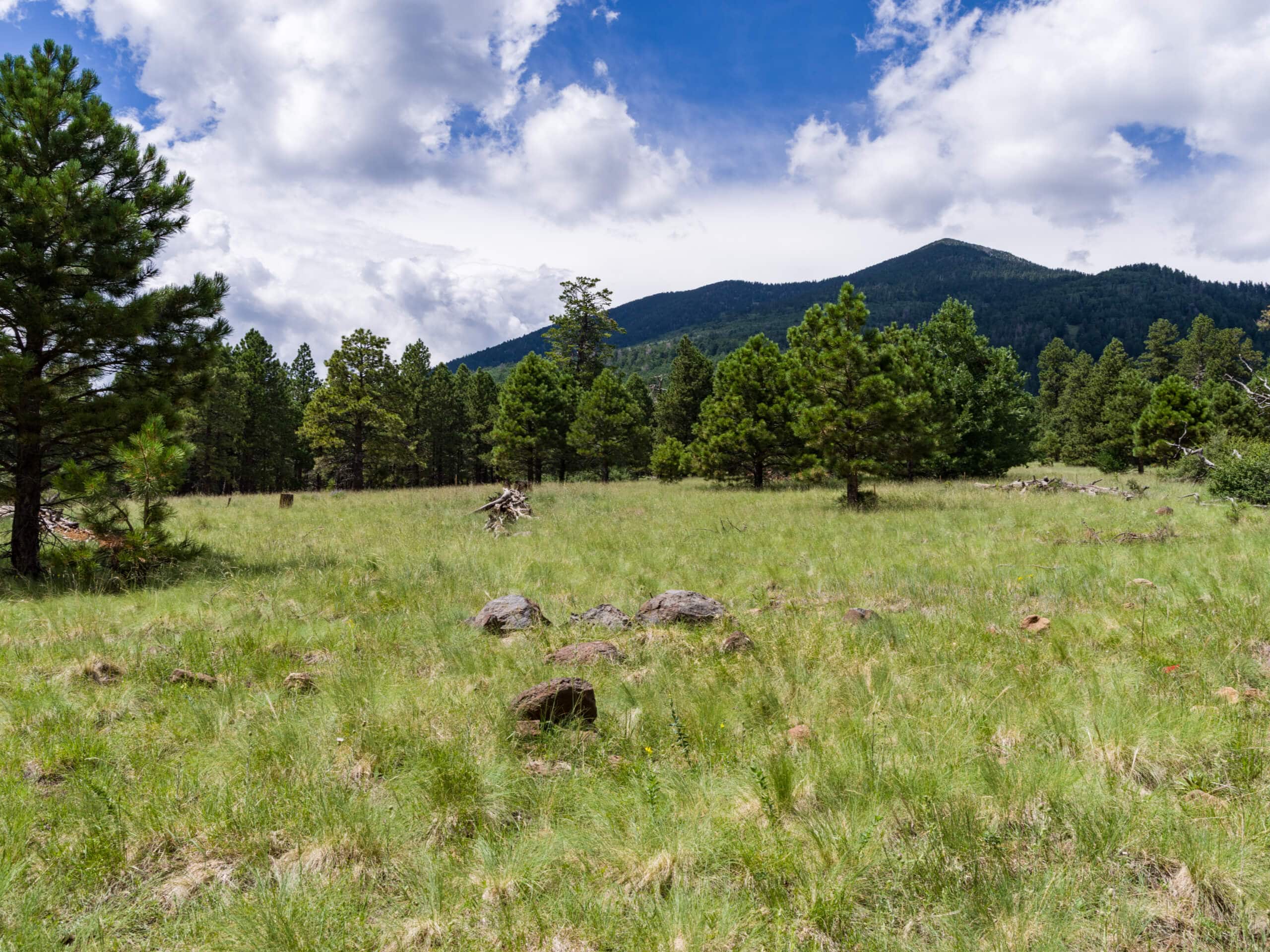
Weatherford Trail
Difficulty Rating:
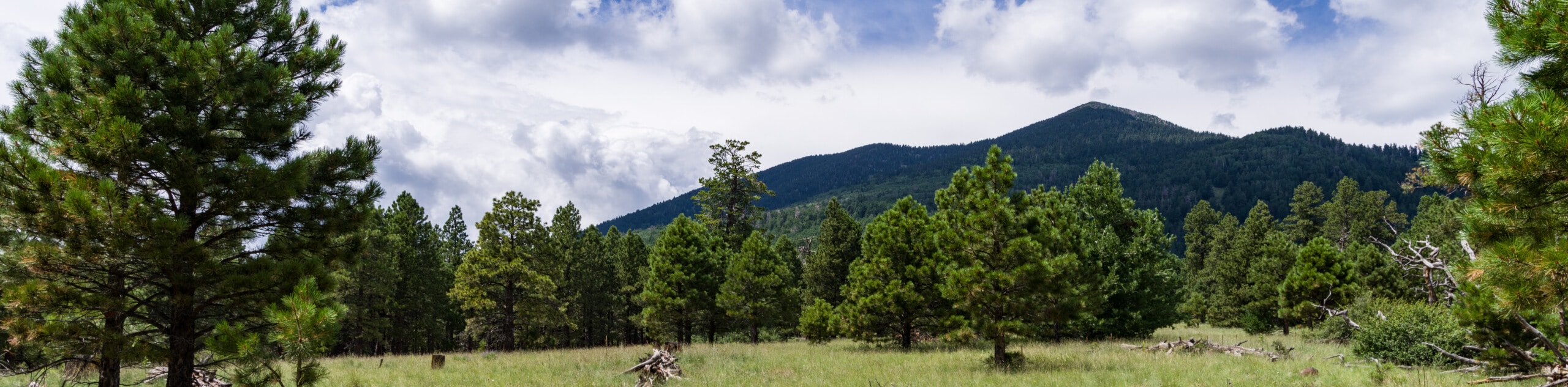
The Weatherford Trail is a hard hike in the Kachina Peaks Wilderness that leads you between Fremont Peak, Schultz Peak, and Doyle Peak. The Weatherford Trail is a longer hike, and the terrain gets more demanding as you go. May hikers only do part of this hike, so if you plan to go the entire way, make sure you come prepared with plenty of water, layers, and food. Expect moderate traffic on this route.
Getting there
The trailhead for the Weatherford Trail is off Schultz Pass Road.

About
| Backcountry Campground | No |
| When to do | March-November |
| Pets allowed | Yes - On Leash |
| Family friendly | No |
| Route Signage | Average |
| Crowd Levels | Moderate |
| Route Type | Out and back |
Weatherford Trail
Elevation Graph
Weather
Weatherford Trail Description
The Weatherford Trail is one of the main routes in the Kachina Peaks Wilderness, where Arizona’s tallest mountains stand. This long, difficult hike takes you past Schultz Peak, most of the way up Fremont Peak, and beside Doyle Peak. Many hikers only do part of this trail, but some complete it all, especially as a warm-up for nearby Humphreys Peak.
If you plan to hike the entire trail, make sure you prepare with lots of water, layers to dress in, and good boots and poles. It’s a fairly rocky trail.
From the trailhead, take Weatherford Trail north toward the mountains. You’ll warm up by making your way up the foot of Fremont Peak. The route makes a steep, straight-up climb onto a ridge, which you’ll traverse back and forth as you climb the flanks of Fremont. This is the most challenging climb on the trail. Once you hit the saddle between Fremont and Doyle, you’ll traverse a short distance west to the trail’s end. From here, retrace your steps.
Similar hikes to the Weatherford Trail hike

Fay Canyon Loop
Fay Canyon is one of several main canyons in the Walnut Canyon National Monument. This loop hike explores part of…

Sandy Steps, Heart, and Upper Oldham Trail
The Sandy Steps, Heart, and Upper Oldham hike makes use of several different trails to create a hike that stretches…

Fisher Point via Fay Canyon
Fisher Point is one of the best viewpoints into the gorgeous Walnut Canyon. This route leads you to the point…
Comments