
Schultz Creek Trail
View Photos
Schultz Creek Trail
Difficulty Rating:
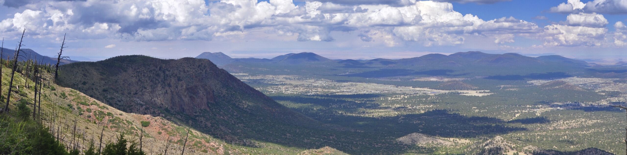
The Schultz Creek Trail is one of the main routes in Flagstaff’s Dry Lake Hills, a popular hiking and mountain biking area just outside the bounds of the city. This trail is easy, scenic, and multi-use, so hikers can expect to see mountain bikers and vice versa. This route is best done when the flowers are blooming, which is usually from late spring through mid-summer. Expect moderate traffic.
Getting there
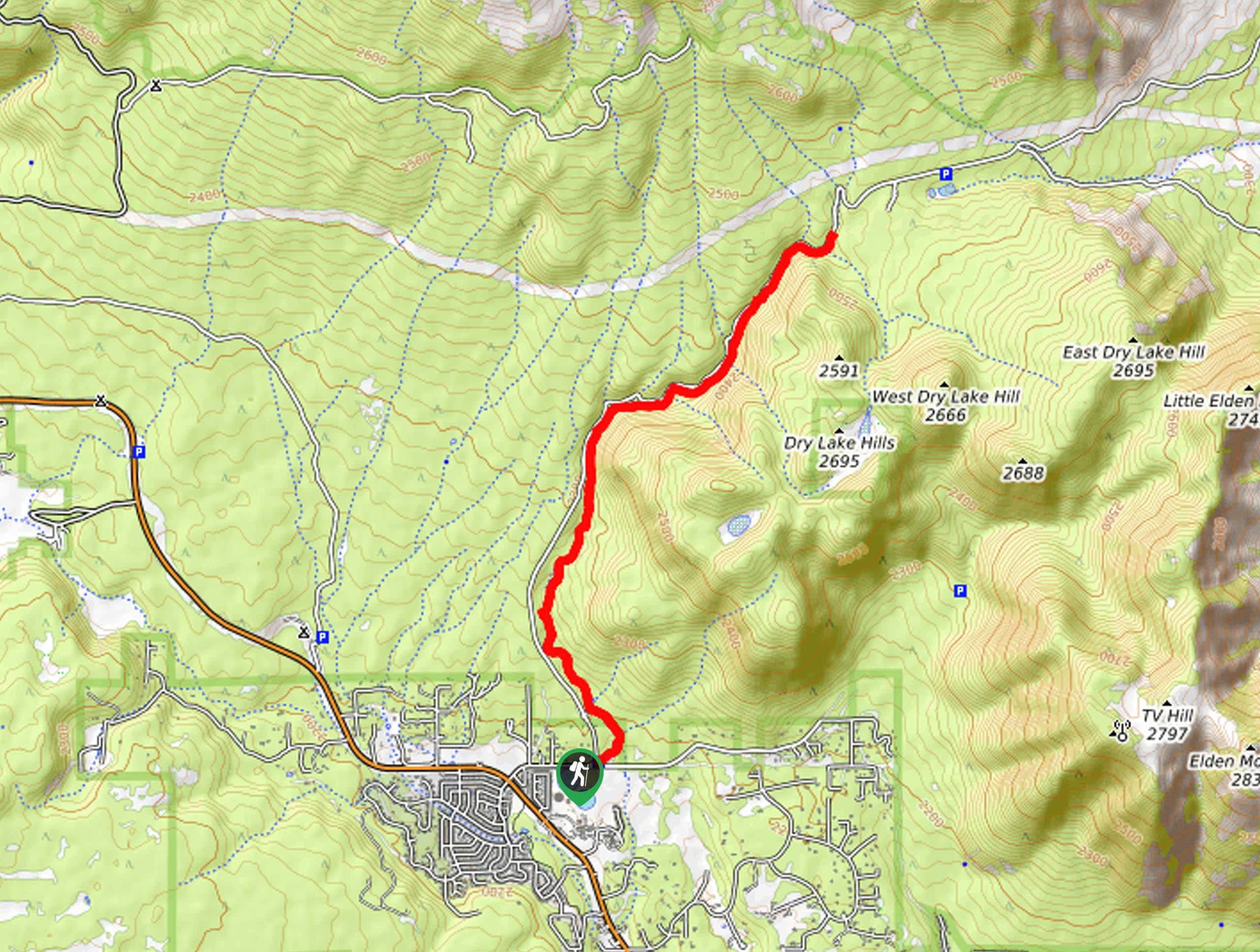
The trailhead for the Schultz Creek Trail is off Schultz Pass Road.

About
| Backcountry Campground | No |
| When to do | March-October |
| Pets allowed | Yes - On Leash |
| Family friendly | Yes |
| Route Signage | Average |
| Crowd Levels | Moderate |
| Route Type | Out and back |
Schultz Creek Trail
Elevation Graph
Weather
Schultz Creek Trail Description
The Schultz Creek Trail is an important route in the Dry Lake Hills of Flagstaff, a popular region for hiking and mountain biking. The gradual nature of the elevation gain on this hike makes it a good choice for all levels of hikers. The wildflowers on this trail in the summertime are splendid, and the scenery is especially lush after it rains.
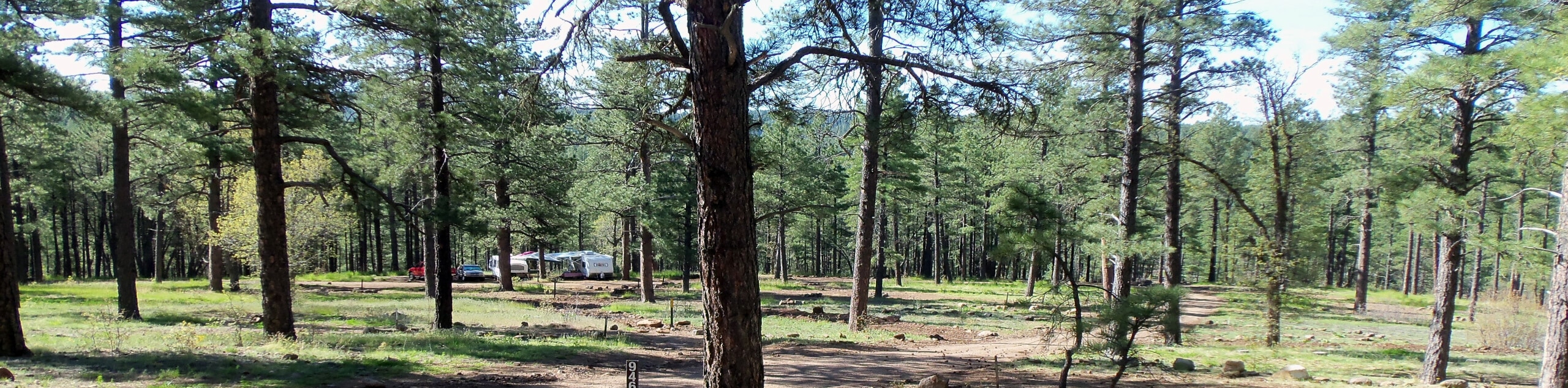
Expect to see many mountain bikers on this route, so remember to share the trail. Navigation on this hike is easy, and you’ll have lots and lots of shade–this makes winter hiking a bit more treacherous, but hot days will find some reprieve.
From the trailhead, take Schultz Creek Access Trail across the creek, then continue onto Old Schultz Creek Trail. You’ll meander along the creek, and although the road is beside you throughout the hike, the noise doesn’t tend to be a bother. Hug the base of the Dry Lake Hills, enjoying the forest as you go. The route ends where the trail forks with Rusty Trail. From here, turn around and retrace your steps to the trailhead.
Similar hikes to the Schultz Creek Trail hike

Fay Canyon Loop
Fay Canyon is one of several main canyons in the Walnut Canyon National Monument. This loop hike explores part of…
Pumphouse Nature Trail
Pumphouse Nature Trail is a short and pleasant walk in Kachina Village, Arizona. This route is only 1.1mi…
Doney Mountain Trail
Doney Mountain Trail is a short hike in the far northeastern corner of Sunset Crater Volcano National Monument. This route…
Comments