Mount Elden Loop via Lookout Road
View Photos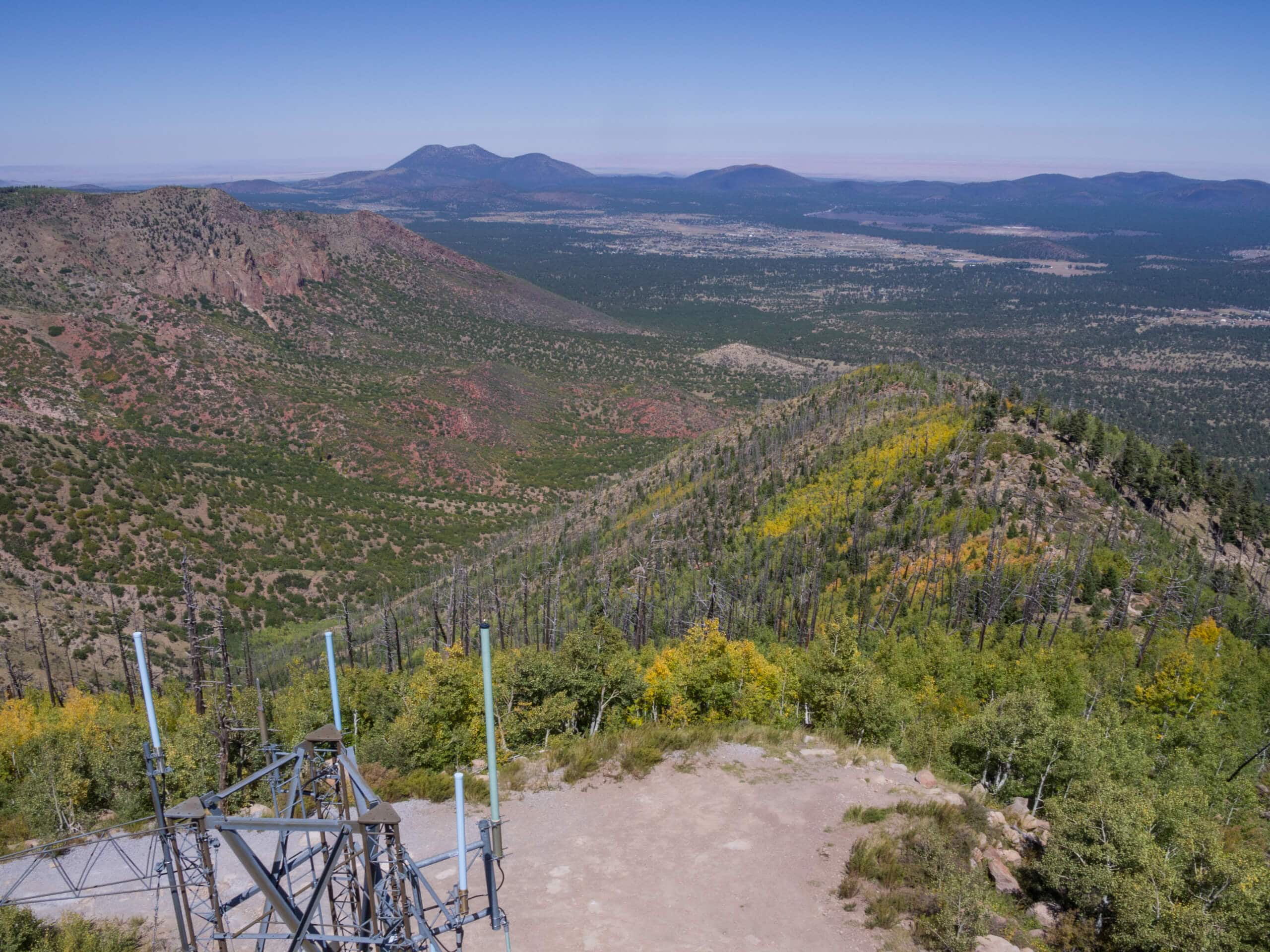
Mount Elden Loop via Lookout Road
Difficulty Rating:
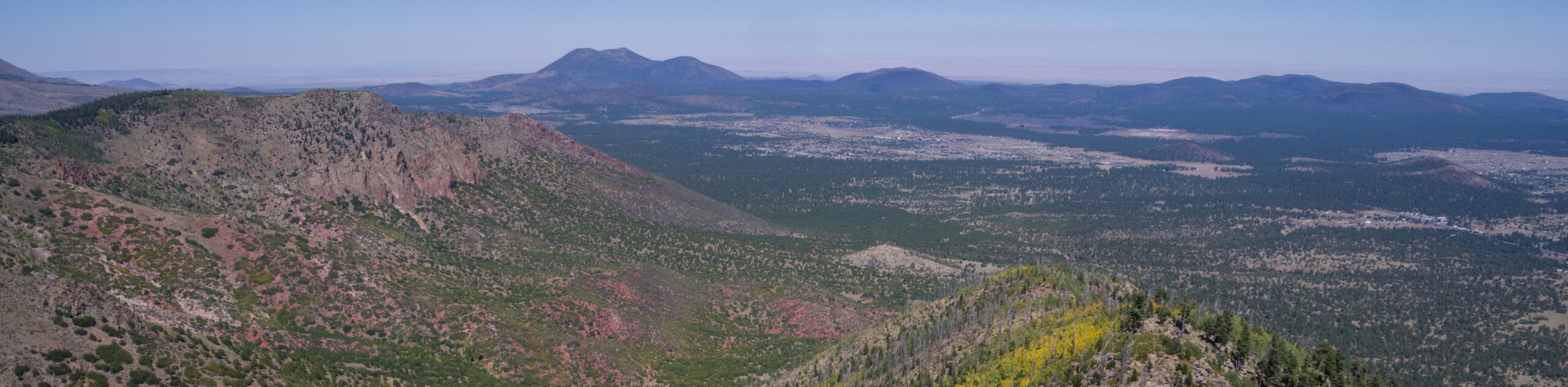
The Mount Elden Loop via Lookout Road is a full-day adventure that shows off the Dry Lake Hills, T V Hill, Little Elden Mountain, and Elden Mountain near Flagstaff. This route is long, but with a fairly gradual increase in elevation through sections of the hike, it remains accessible for intermediate hikers and better. This is also a good pick for mountain bikers. Expect moderate traffic on this route.
Getting there
The trailhead for the Mount Elden Loop via Lookout Road is off Schultz Pass Road.

About
| Backcountry Campground | No |
| When to do | March-October |
| Pets allowed | Yes - On Leash |
| Family friendly | Older Children only |
| Route Signage | Poor |
| Crowd Levels | Moderate |
| Route Type | Loop |
Mount Elden Loop via Lookout Road
Elevation Graph
Weather
Mount Elden Loop via Lookout Road Description
The Mount Elden Loop via Lookout Road is a full-day adventure that leads you through the Dry Lake Hills and past Elden Mountain, Little Elden Mountain, and T V Hill. Despite being a longer route, the gradual nature of the elevation gain on this hike makes it a good choice for intermediate hikers and better. You’ll have varied terrain to hike on and ever-changing scenery in this little mountain oasis right beside the city.
Parts of this hike can be hard to follow and users report relying on GPS navigation. Additionally, some trails required for this loop are subject to closure for environmental protection or in response to wildfires, so having an offline map and a charged phone can help you navigate should a section of the route be closed.
You can hike this loop clockwise or counterclockwise. Our route goes counterclockwise, which gets the least exciting portion of the trail (Lookout Road) out of the way first. If you’d rather have the road near the end of the hike to speed up your finish, you can go the other way.
From the trailhead, follow Lookout Road as it leads you up between the peaks. In the saddle between Little Elden Mountain and Elden Mountain, you’ll take Sunset Trail north to traverse the ridge between the two mountains. Continue onto Brookbank Trail to the lake, then take Little Gnarly Trail to the Schultz Loop Trail. Follow this as it leads you west, then south back to the trailhead.
Similar hikes to the Mount Elden Loop via Lookout Road hike

Fay Canyon Loop
Fay Canyon is one of several main canyons in the Walnut Canyon National Monument. This loop hike explores part of…

Sandy Steps, Heart, and Upper Oldham Trail
The Sandy Steps, Heart, and Upper Oldham hike makes use of several different trails to create a hike that stretches…

Fisher Point via Fay Canyon
Fisher Point is one of the best viewpoints into the gorgeous Walnut Canyon. This route leads you to the point…
Comments