
Sandy Steps, Heart, and Upper Oldham Trail
View Photos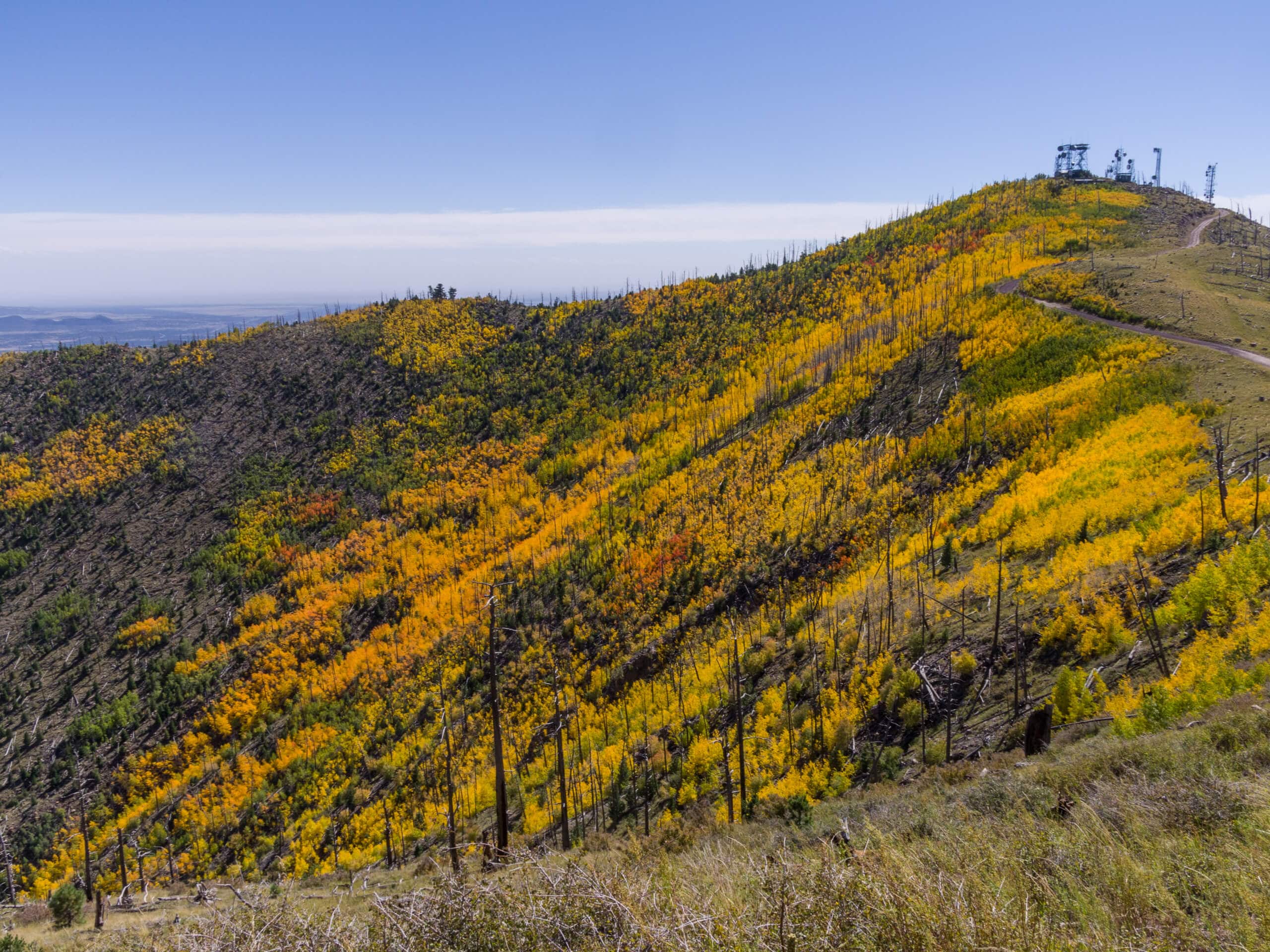
Sandy Steps, Heart, and Upper Oldham Trail
Difficulty Rating:
The Sandy Steps, Heart, and Upper Oldham hike makes use of several different trails to create a hike that stretches from East Flagstaff past Elden Mountain, ending past Buffalo Park in the city. This route is rated as moderate and offers varied scenery from the city to the mountains. Dogs are welcome on leash, but families may find this hike a bit long and strenuous. It’s suitable for intermediate hikers and better.
Getting there
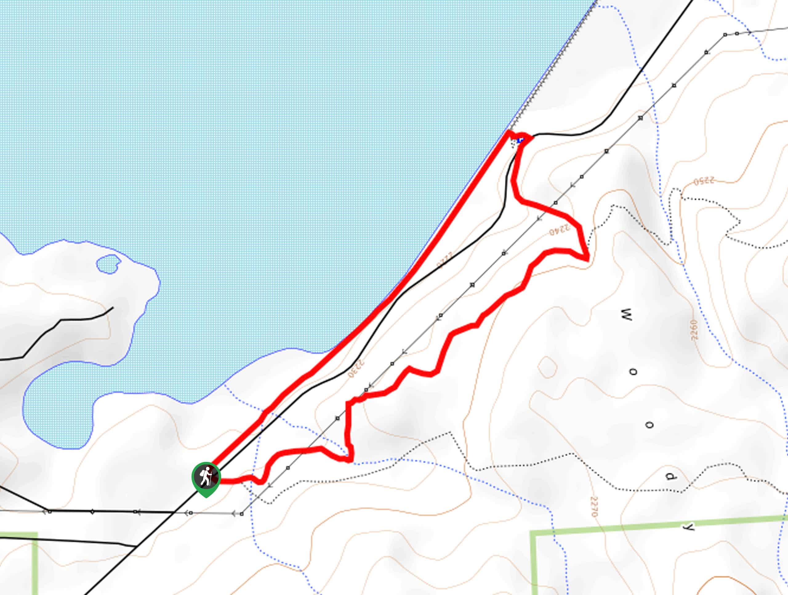
The trailhead for Sandy Steps, Heart, and Upper Oldham Trail is off US 89.

About
| Backcountry Campground | No |
| When to do | April-November |
| Pets allowed | Yes - On Leash |
| Family friendly | No |
| Route Signage | Average |
| Crowd Levels | Moderate |
| Route Type | One Way |
Sandy Steps, Heart, and Upper Oldham Trail
Elevation Graph
Weather
Sandy Steps, Heart, and Upper Oldham Trail Description
The Sandy Steps, Heart, and Upper Oldham hike makes use of a few different routes to cover a lot of ground in the mountains immediately north of Flagstaff. This route begins near Elden Mountain, climbing up and over past the Dry Lake Hills, dropping down through Buffalo Park to end in East Flagstaff.
This is a long point-to-point hike, so we recommend arranging a car shuttle to complete the entire route. It would be a bit ambitious to try to hike this route as an out and back, so plan ahead.
From the trailhead, take the Arizona Trail–Sandy Seep towards Elden Mountain. You’ll climb up to the ridge between Elden Mountain and Little Elden Mountain, traversing across this ridge until you reach Upper Oldham, where you’ll take a right and descend to the base of T V Hill. Hug the base of the hill heading south and then follow Easy Oldham Trail into Buffalo Park.
Hike directly through the park, cross W Forest Ave, and take Arizona Trail–Flagstaff to the route that will lead you to the endpoint.
Similar hikes to the Sandy Steps, Heart, and Upper Oldham Trail hike

Fay Canyon Loop
Fay Canyon is one of several main canyons in the Walnut Canyon National Monument. This loop hike explores part of…

Fisher Point via Fay Canyon
Fisher Point is one of the best viewpoints into the gorgeous Walnut Canyon. This route leads you to the point…
Two Spot Loop
The Two Spot Loop is an easy hike southwest of Flagstaff at Rogers Lake. This route wanders beside the shore…
Comments