Upper Schultz Pass Loop
View Photos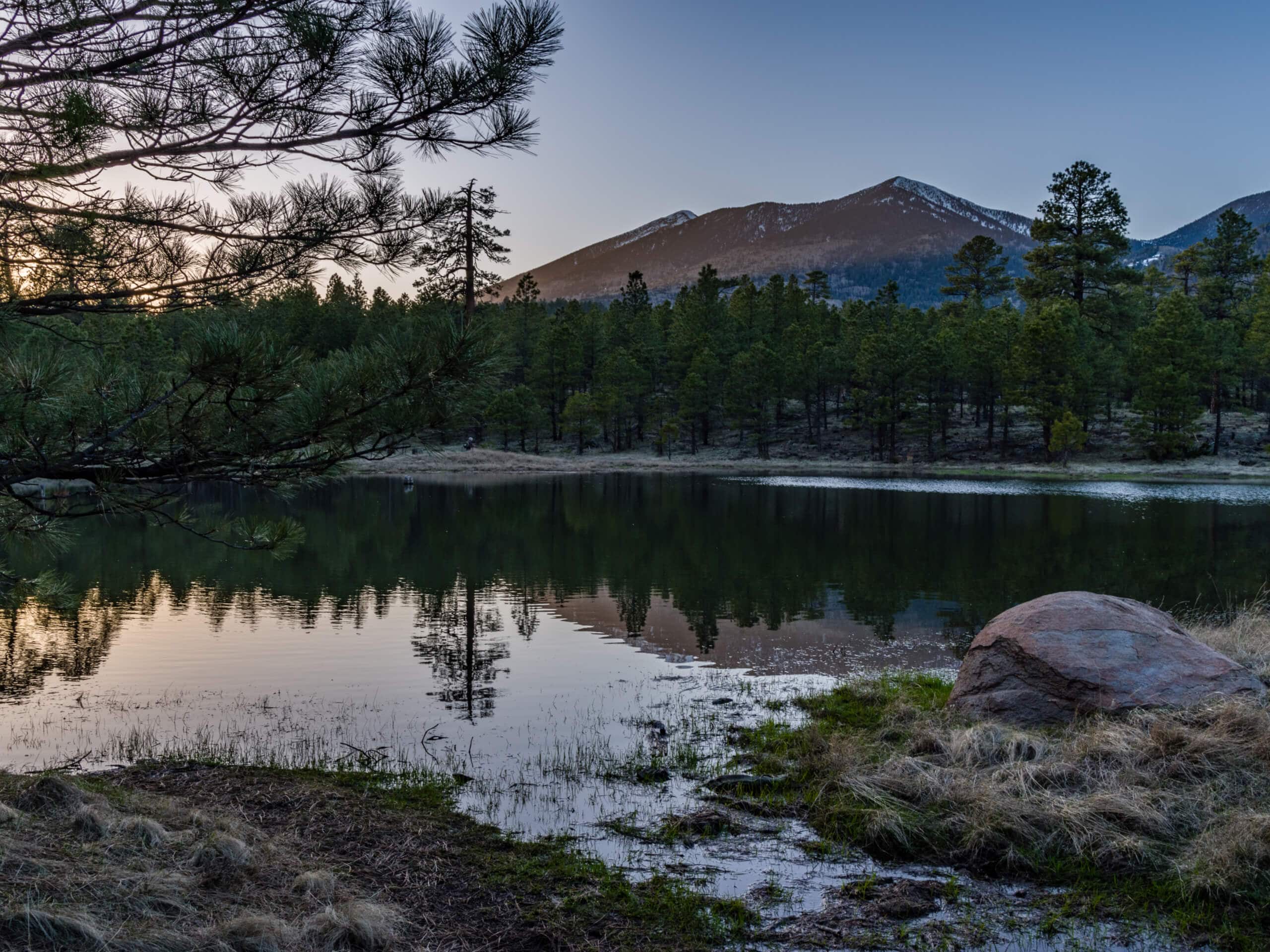
Upper Schultz Pass Loop
Difficulty Rating:
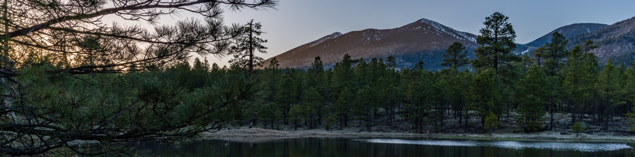
The Upper Schultz Pass Loop is a 5.0mie easy hike north of Flagstaff, Arizona, in the Coconino National Forest. This hike includes everything you’d want from a northern Arizona hike: mountain views, pine forests, aspen trees, and wildflowers in abundance. It’s a very pretty trail and it’s accessible for most ages and skill levels. Expect light traffic on this route.
Getting there
The trailhead for the Upper Schultz Pass Loop is on Sunset Trailhead Road.

About
| Backcountry Campground | No |
| When to do | March-November |
| Pets allowed | Yes - On Leash |
| Family friendly | Yes |
| Route Signage | Good |
| Crowd Levels | Low |
| Route Type | Loop |
Upper Schultz Pass Loop
Elevation Graph
Weather
Upper Schultz Pass Loop Description
The Upper Schultz Pass Loop is what we’d consider a bit of an underrated route. This trail doesn’t see many hikers, yet it’s got all the scenery northern Arizona is known for. Stroll through aspen and pine forests, see the mountains on the horizon, and you can enjoy wildflower blooms if you’re here in the summertime. It’s a lovely hike that’s suitable for all skill levels.
The only downside to this route is that there’s a bit of road noise in parts, but it’s generally mild. Watch for the occasional mountain biker on this trail.
From the trailhead, take Sunset Trail southeast, then turn left onto Little Elden Spring Trail to approach the Schultz Tank, passing it on the Schultz Tank Trail. Continue north across the road, then take a left onto the Arizona Trail-Fort Valley. Continue on this path until you cross Schultz Creek, and take Schultz Creek Trail up along the creek back to the trailhead.
Similar hikes to the Upper Schultz Pass Loop hike

Fay Canyon Loop
Fay Canyon is one of several main canyons in the Walnut Canyon National Monument. This loop hike explores part of…

Sandy Steps, Heart, and Upper Oldham Trail
The Sandy Steps, Heart, and Upper Oldham hike makes use of several different trails to create a hike that stretches…

Fisher Point via Fay Canyon
Fisher Point is one of the best viewpoints into the gorgeous Walnut Canyon. This route leads you to the point…
Comments