Walnut Creek via AZT-Walnut Canyon Trail
View Photos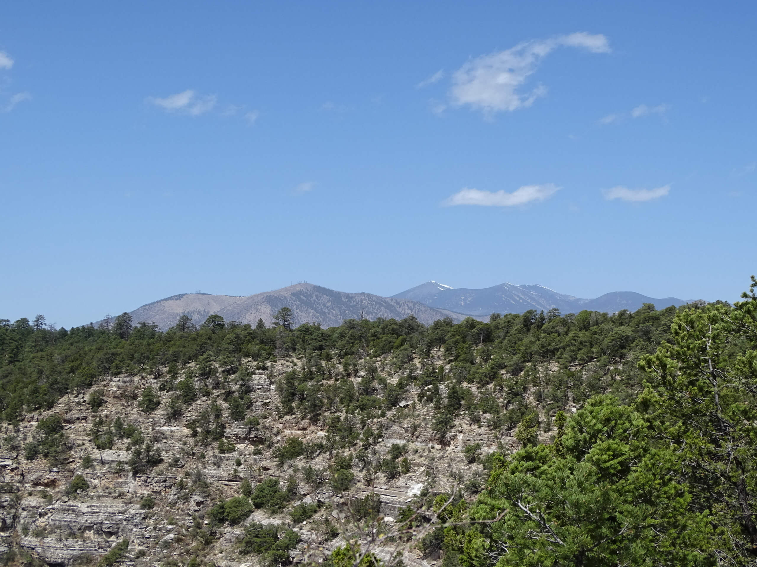
Walnut Creek via AZT-Walnut Canyon Trail
Difficulty Rating:
Reach Walnut Creek and a viewpoint of Walnut Canyon on the Walnut Creek via AZT-Walnut Canyon Trail. This hike is rated as moderate and is suitable for beginners and active children (young children might need their hands held if you go all the way to the viewpoint). Most of the route leads you through a shaded forest until the view reveals itself at the end. Expect light traffic on this trail.
Getting there
The trailhead for Walnut Creek via AZT-Walnut Canyon Trail is on E Old Walnut Canyon Road.

About
| Backcountry Campground | No |
| When to do | April-November |
| Pets allowed | Yes - On Leash |
| Family friendly | Yes |
| Route Signage | Poor |
| Crowd Levels | Low |
| Route Type | Out and back |
Walnut Creek via AZT-Walnut Canyon Trail
Elevation Graph
Weather
Walnut Creek via AZT-Walnut Canyon Trail Description
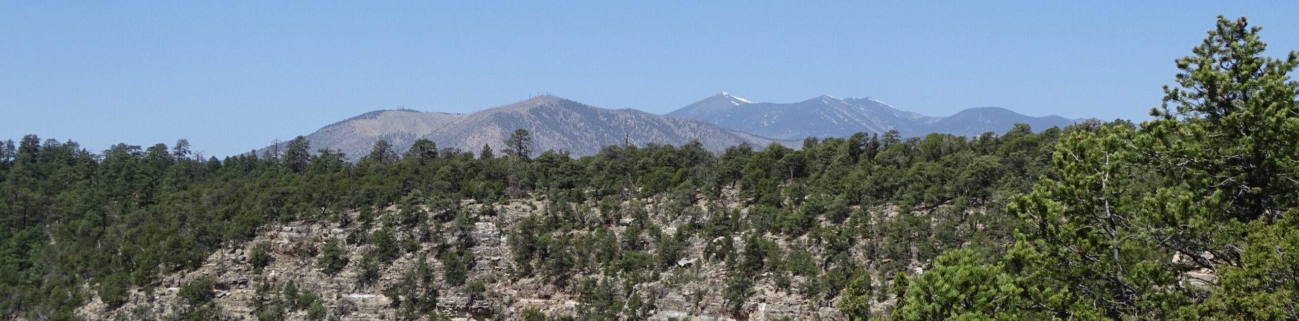
Walnut Canyon is a natural and historic site not far outside of Flagstaff in the Coconino National Forest. Walnut Canyon is quite beautiful, and from the viewpoint at the end of this hike, you can appreciate the layers of rock visible in the canyon walls, which are the same layers you’d observe in the nearby Grand Canyon. Also, appreciate that there used to be a thriving pueblo community in this canyon!
This route takes you through a pleasant, shady forest to the creek, and then across the creek to the canyon viewpoint. It can get very muddy and slippery in colder weather, so we recommend this as a summer hike.
From the trailhead, head out on AZT-Walnut Canyon Trail. This will lead you through the trees towards the canyon on an easy, relaxed route. You’ll go left onto County Road 301 B for a few steps before taking a left off of it to approach the creek. Cross the creek, then continue towards the canyon. You’ll find the viewpoint right at the top of the canyon wall.
When you’re ready, you’ll return to the trailhead by backtracking along the same route.
Similar hikes to the Walnut Creek via AZT-Walnut Canyon Trail hike

Fay Canyon Loop
Fay Canyon is one of several main canyons in the Walnut Canyon National Monument. This loop hike explores part of…

Sandy Steps, Heart, and Upper Oldham Trail
The Sandy Steps, Heart, and Upper Oldham hike makes use of several different trails to create a hike that stretches…

Fisher Point via Fay Canyon
Fisher Point is one of the best viewpoints into the gorgeous Walnut Canyon. This route leads you to the point…
Comments