SP Crater Trail
View Photos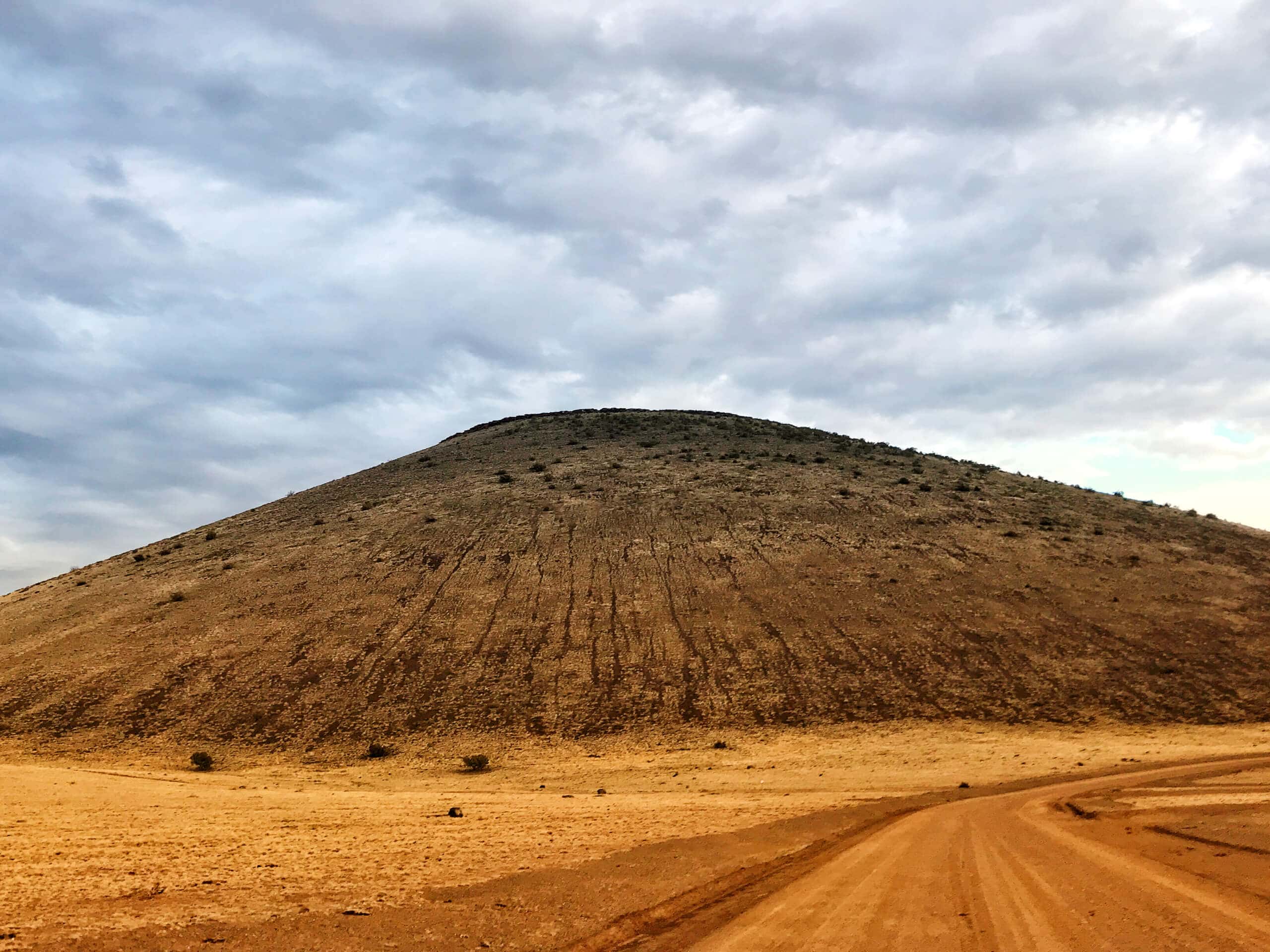
SP Crater Trail
Difficulty Rating:
While most hikers are exploring the Sunset Crater Volcano National Monument, a ways outside of the park bounds is the SP Crater Trail, a lesser-known and lesser-explored crater hike with views that are just as impressive. This is a hike that toes the line between moderate and hard because of its rocky, rugged trail. While it might not be a fit for kids or beginners, adventurous hikers will love the remote feel of this one. Expect light traffic.
Getting there
The trailhead for the SP Crater Trail is on a side road off US-89.

About
| Backcountry Campground | No |
| When to do | April-October |
| Pets allowed | Yes |
| Family friendly | No |
| Route Signage | Average |
| Crowd Levels | Low |
| Route Type | Out and back |
SP Crater Trail
Elevation Graph
Weather
SP Crater Trail Description
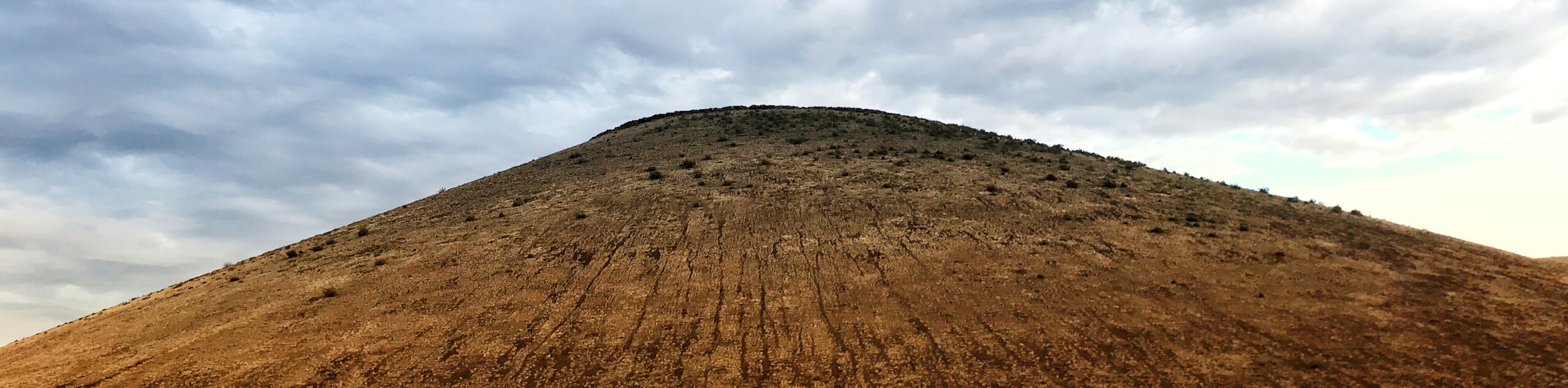
Northern Arizona, particularly the Flagstaff area, has an interesting volcanic past. Remnants of this past are evident in the volcanic rocks, craters, and volcanic mountains that dot the area. The SP Crater Trail explores a huge volcanic crater. Where does “SP” come from? Well, cowboys used to think the crater looked like a sh*t pot because of the dried lava flow spilling out… Yeah, you can be the judge of that.
This hike is rugged and somewhat challenging. It’s loose, rocky, steep in parts, and lined by thorny bushes. If you can deal with those aspects, you’ll enjoy one of the most impressive crater hikes in the area. Because of the rough nature of volcanic rock, sturdy boots are recommended. You may also want to bring poles for this hike due to the loose, steep nature of the ascent.
The route begins from the side of the dirt road. Hike south towards the saddle between the crater and the lava flow, which you’ll ascend. There is a trail that goes up to the crater rim, but be aware that it’s even rockier and rougher up there. Take in the views from the saddle. The route goes off the other side of the crater to the road before turning around, but you can turn around from the saddle if you want to skip this extra distance.
Insider Hints
While there’s no official checkpoint, you’ll technically need an AZ Land Trust Permit to hike this trail.
Similar hikes to the SP Crater Trail hike

Fay Canyon Loop
Fay Canyon is one of several main canyons in the Walnut Canyon National Monument. This loop hike explores part of…

Sandy Steps, Heart, and Upper Oldham Trail
The Sandy Steps, Heart, and Upper Oldham hike makes use of several different trails to create a hike that stretches…

Fisher Point via Fay Canyon
Fisher Point is one of the best viewpoints into the gorgeous Walnut Canyon. This route leads you to the point…
Comments