AZT-Schultz Creek Loop
View Photos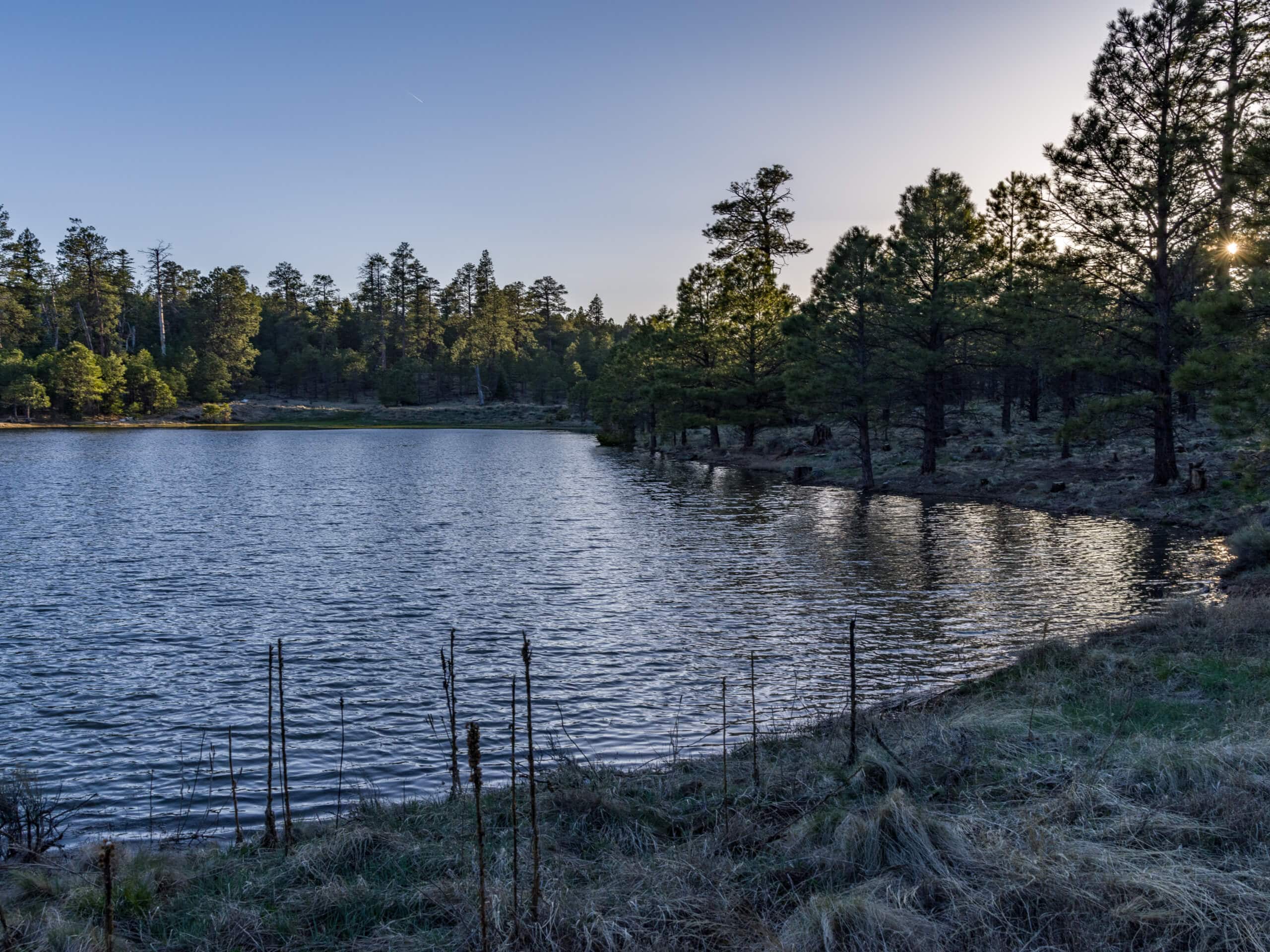
AZT-Schultz Creek Loop
Difficulty Rating:
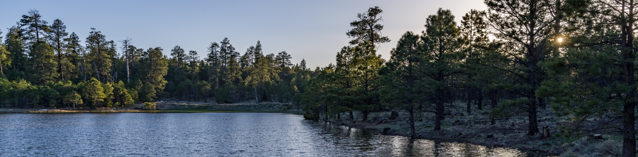
The AZT-Schultz Creek Loop is a wonderful moderate loop hike in the Dry Lake Hills of Flagstaff. This hike offers a bit of all the highlights in the Flagstaff hiking world, with meadows, forests, mountain views, and water features to see. It’s suitable for families and beginners. This route is best done when the flowers are blooming, which is usually from late spring through mid-summer. Expect moderate traffic.
Getting there
The trailhead for the AZT-Schultz Creek Loop is off Schultz Pass Road.

About
| Backcountry Campground | No |
| When to do | April-October |
| Pets allowed | Yes - On Leash |
| Family friendly | Yes |
| Route Signage | Average |
| Crowd Levels | Moderate |
| Route Type | Loop |
AZT-Schultz Creek Loop
Elevation Graph
Weather
AZT-Schultz Creek Loop Description
The AZT-Schultz Creek Loop is an important route in the Dry Lake Hills of Flagstaff, a popular region for hiking and mountain biking. This route is a wonderful adventure that’s suitable for all skill levels. You’ll have mountain views, the river to follow, and big meadows. The wildflowers on this trail in the summertime are splendid, and the scenery is especially pleasant and green after it rains.
Expect to see mountain bikers on this route, so remember to share the trail. Navigation on this hike is easy, and you’ll have lots and lots of shade–this makes winter hiking a bit more treacherous, but hot days will find some reprieve.
From the trailhead, take Arizona Trail-Fort Valley as it meanders north and then northeast aloft the ravine. At the top of the loop, take a right and hike south across the road on Rusty Pipe. Continue onto Schultz Creek Trail and follow the creek all the way back to the trailhead.
Similar hikes to the AZT-Schultz Creek Loop hike

Fay Canyon Loop
Fay Canyon is one of several main canyons in the Walnut Canyon National Monument. This loop hike explores part of…

Sandy Steps, Heart, and Upper Oldham Trail
The Sandy Steps, Heart, and Upper Oldham hike makes use of several different trails to create a hike that stretches…

Fisher Point via Fay Canyon
Fisher Point is one of the best viewpoints into the gorgeous Walnut Canyon. This route leads you to the point…
Comments