Schultz Pass Road Loop
View Photos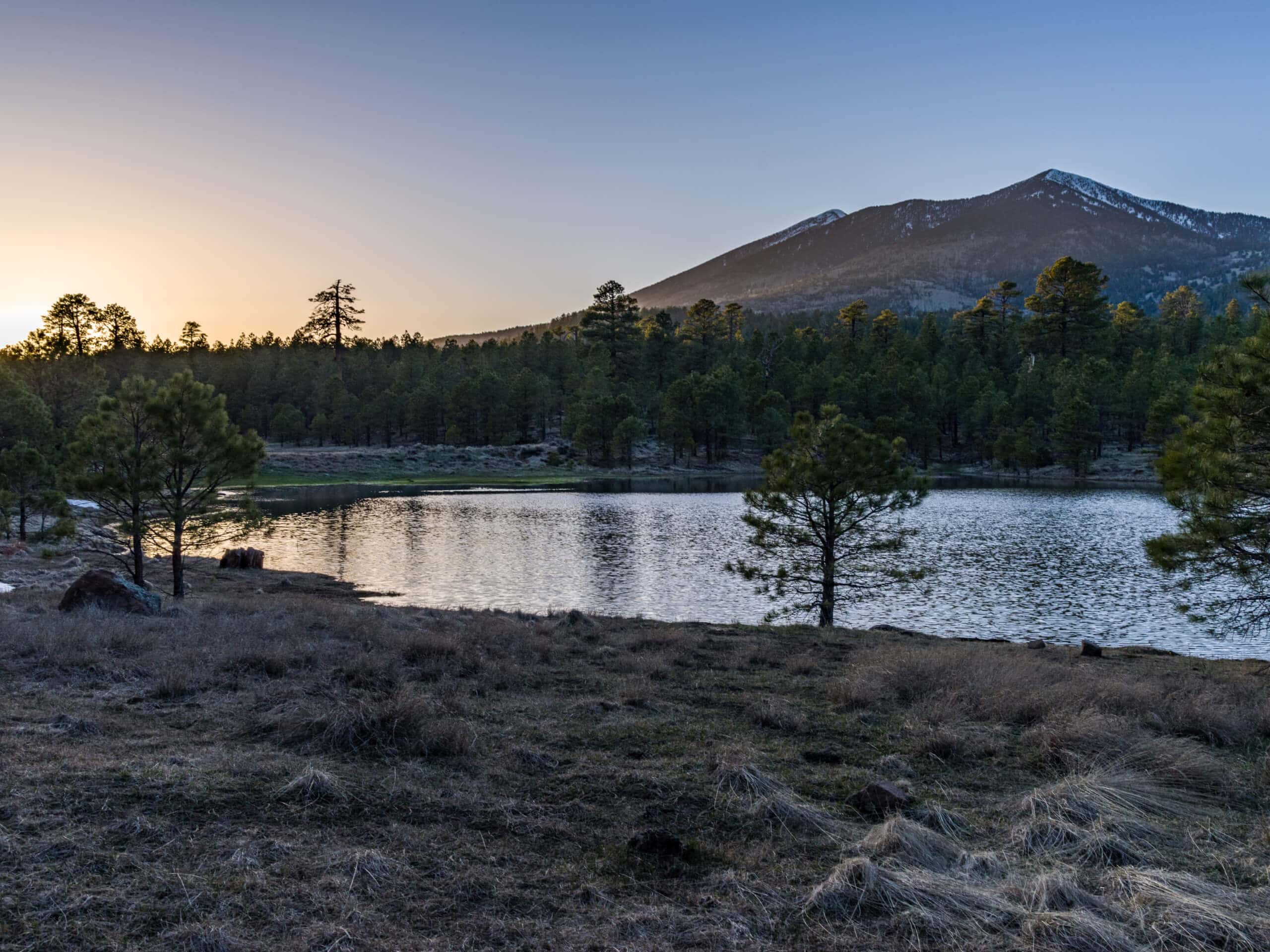
Schultz Pass Road Loop
Difficulty Rating:
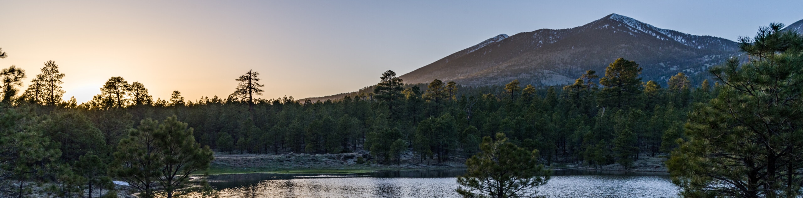
The Schultz Pass Road Loop is a 6.0mi moderately difficult hike north of Flagstaff in the Coconino National Forest. Savor this trail’s great scenery, including mountain views, pine forests, aspen trees, and wildflowers in abundance. There is a huge network of routes in this area should you want to keep going a bit further. Expect moderate traffic on this route.
Getting there
The trailhead for the Schultz Pass Road Loop is on Schultz Pass Road.

About
| Backcountry Campground | No |
| When to do | March-November |
| Pets allowed | Yes - On Leash |
| Family friendly | Yes |
| Route Signage | Good |
| Crowd Levels | Moderate |
| Route Type | Loop |
Schultz Pass Road Loop
Elevation Graph
Weather
Schultz Pass Road Loop Description
The Schultz Pass Road Loop is a stellar hike with beautiful mountain views, forest stretches, and wildflowers. It’s also a popular pick for mountain bikers and trail runners. There are so many routes in this area, you could easily adventure further if you wanted to keep exploring.
Keep an eye out for different kinds of users on this route and share the trail. Keeping dogs on leash is important due to the bikes and runners that will likely pass. Consider downloading a GPS route to help with your navigation.
From the trailhead, take Old Schultz Creek Trail to Arizona Trail-Schultz Creek. You’ll continue on this trail for a long stretch, then you’ll cross to your left over the road to the other side of the canyon. Take a left turn onto Dog Food Trail and then continue onto Lower Dog Food Trail. Hop onto Schultz Pass Road and follow this to the trailhead.
Similar hikes to the Schultz Pass Road Loop hike

Fay Canyon Loop
Fay Canyon is one of several main canyons in the Walnut Canyon National Monument. This loop hike explores part of…

Sandy Steps, Heart, and Upper Oldham Trail
The Sandy Steps, Heart, and Upper Oldham hike makes use of several different trails to create a hike that stretches…

Fisher Point via Fay Canyon
Fisher Point is one of the best viewpoints into the gorgeous Walnut Canyon. This route leads you to the point…
Comments