Schultz Pass Loop
View Photos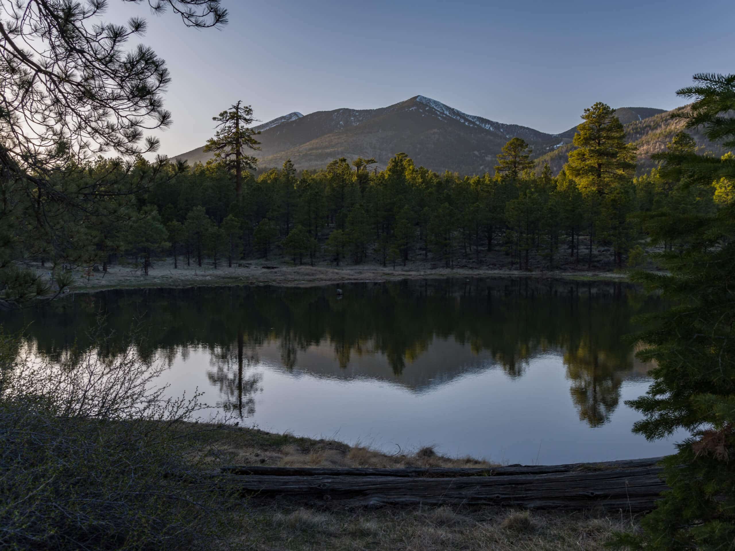
Schultz Pass Loop
Difficulty Rating:
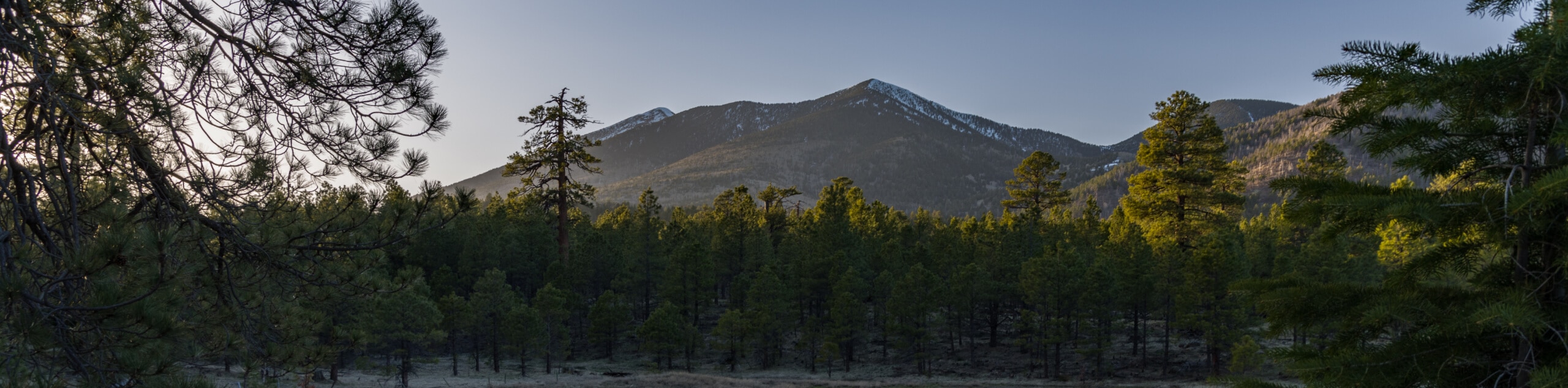
The Schultz Pass Loop is an 11.8mi moderate hike north of Flagstaff in the Coconino National Forest. This hike includes everything you’d want from a northern Arizona hike: mountain views, pine forests, aspen trees, and wildflowers in abundance. Expect light traffic on this route. If you want similar scenery on a shorter, easier trail, try the Upper Schultz Pass Loop.
Getting there
The trailhead for the Schultz Pass Loop is on Schultz Pass Road.

About
| Backcountry Campground | No |
| When to do | March-November |
| Pets allowed | Yes - On Leash |
| Family friendly | Older Children only |
| Route Signage | Good |
| Crowd Levels | Low |
| Route Type | Loop |
Schultz Pass Loop
Elevation Graph
Weather
Schultz Pass Loop Description
The Schultz Pass Loop is a beautiful hike, but it’s also a popular pick for mountain bikers and trail runners, too. Stroll through aspen and pine forests, see the mountains on the horizon, and enjoy wildflower blooms if you’re here in the summertime. While we don’t recommend this trail for kids because of its length and elevation gain, it’s suitable for strong beginners and older children.
Keep an eye out for different kinds of users on this route and share the trail. Keeping dogs on leash is important due to the bikes and runners that will likely pass.
From the trailhead, take the Schultz Creek Access Trail to the Schultz Creek Quintana Trail, where you’ll take a left. Cross the creek and continue on Old Schultz Creek Trail. Where the loop splits, take a left on Chimney Trail, cross the road, and climb up to the right turn onto Moto Trail. Go right onto the Arizona Trail-Fort Valley, which you’ll follow all the way to the right turn onto Secret Trail. Take a right onto Schultz Creek Trail and follow this back through the canyon to the trail split, from where you’ll retrace your steps to the trailhead.
Similar hikes to the Schultz Pass Loop hike

Fay Canyon Loop
Fay Canyon is one of several main canyons in the Walnut Canyon National Monument. This loop hike explores part of…

Sandy Steps, Heart, and Upper Oldham Trail
The Sandy Steps, Heart, and Upper Oldham hike makes use of several different trails to create a hike that stretches…

Fisher Point via Fay Canyon
Fisher Point is one of the best viewpoints into the gorgeous Walnut Canyon. This route leads you to the point…
Comments