
Priest Draw Trail
View Photos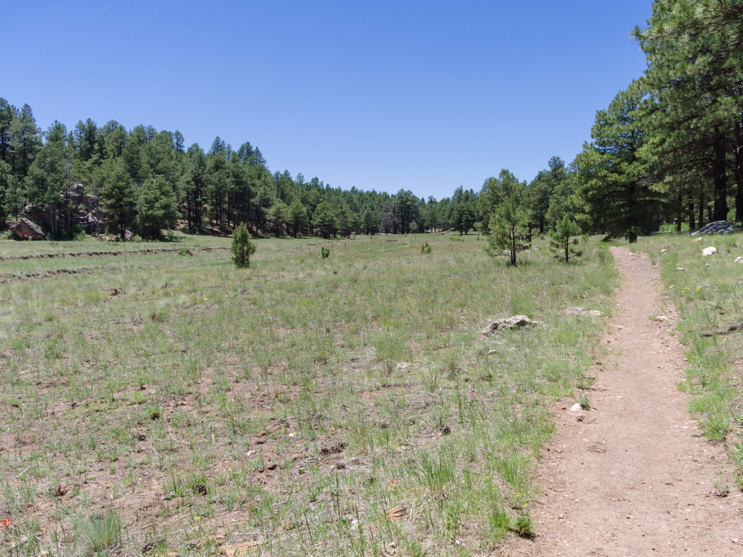
Priest Draw Trail
Difficulty Rating:
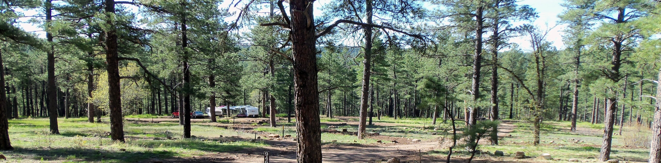
The Priest Draw Trail is a simple pleasure. The route travels through fields lined by pine trees, with some interesting rock formations and outcroppings to check out along the way. It doesn’t have any huge views, but it’s a pleasant walk in nature. Dogs are allowed on this trail as long as they’re kept on leash, and this is a good trail for families of all ages.
Getting there
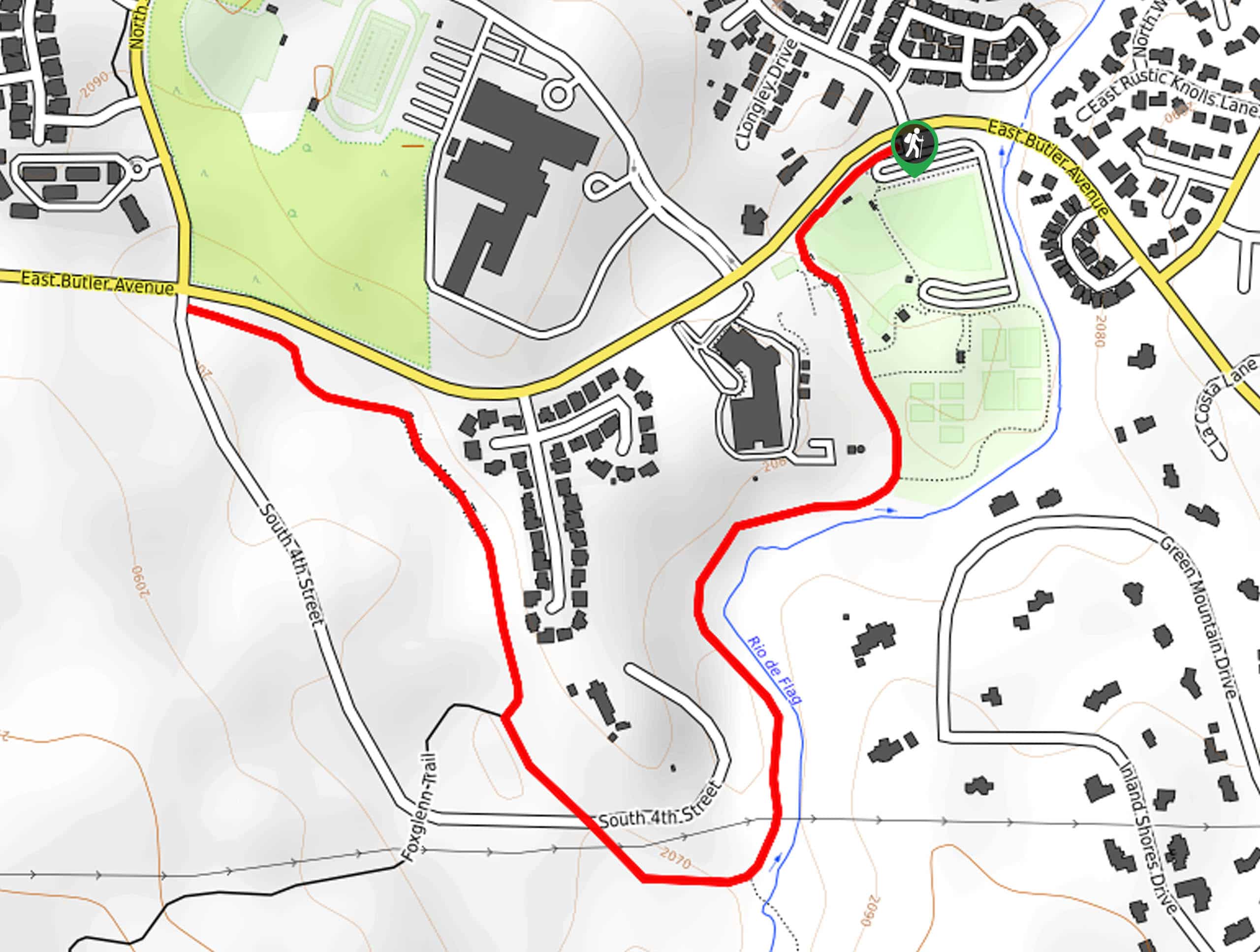
The trailhead for the Priest Draw Trail is on Forest Service Road 235.

About
| Backcountry Campground | No |
| When to do | March-November |
| Pets allowed | Yes - On Leash |
| Family friendly | Yes |
| Route Signage | Average |
| Crowd Levels | Moderate |
| Route Type | Out and back |
Priest Draw Trail
Elevation Graph
Weather
Priest Draw Trail Description
The Priest Draw Trail is a relaxing trail that leads you through fields, forests, and near interesting rock outcroppings and formations. This route doesn’t offer huge mountain views, but it’s really nice for a nature walk with dogs and family. It’s also pleasantly easy to navigate. Expect moderate traffic on this route.
Some of this hike is out in the sun, so make sure you wear sun protection and bring lots of water if you’re out on a hot day.
From the trailhead, take Priest Draw Trail as it heads west alongside Howard Draw and then Priest Draw. The trail meanders alongside the draw the entire way, going into and out of the trees. Stop to check out the rock outcroppings, which could be fun for a quick bouldering session (be safe!). Where the route terminates, turn around and retrace your steps.
Similar hikes to the Priest Draw Trail hike
Pumphouse Nature Trail
Pumphouse Nature Trail is a short and pleasant walk in Kachina Village, Arizona. This route is only 1.1mi…
Doney Mountain Trail
Doney Mountain Trail is a short hike in the far northeastern corner of Sunset Crater Volcano National Monument. This route…
Switzer Wash Trail via Foxglenn Trail
Switzer Wash Trail via Foxglenn Trail is a short but sweet hike in Flagstaff. This 2.8mi hike begins…
Comments