Little Elden Trail
View Photos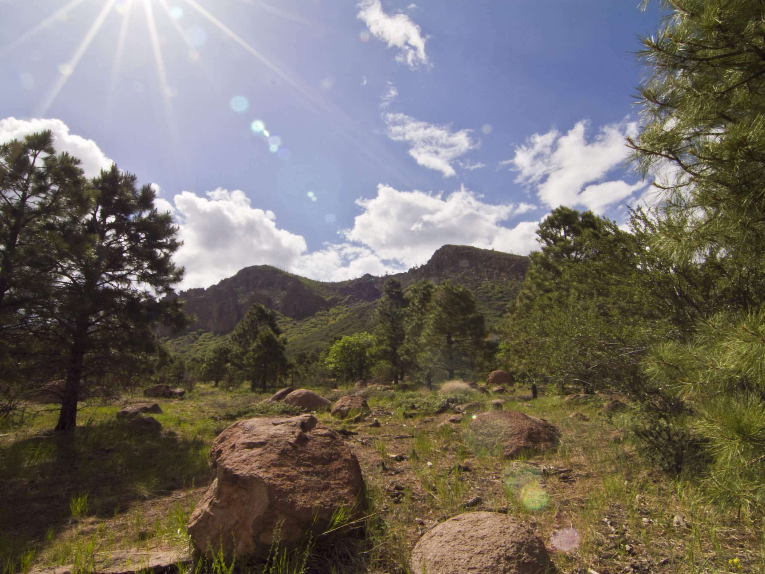
Little Elden Trail
Difficulty Rating:
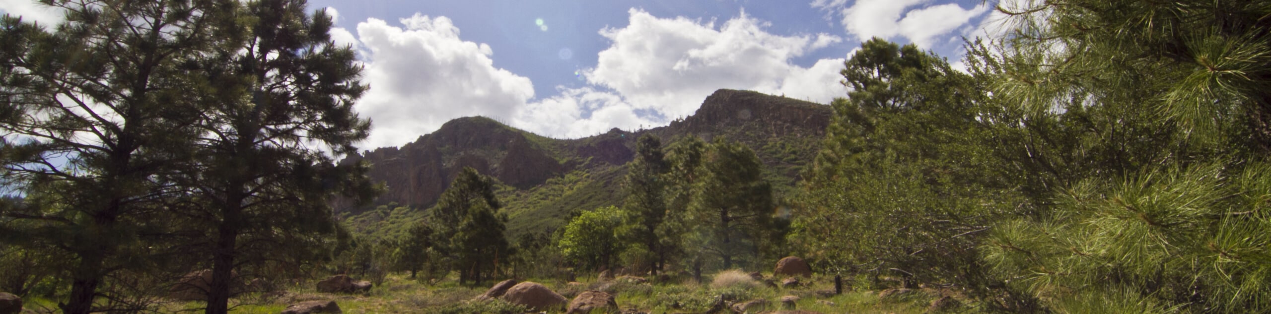
The Little Elden Trail is a scenic 12.6mi out and back trail in Flagstaff that can be enjoyed by hikers, mountain bikers, and horseback riders. The first half of the trail is well-marked, lushly forested, and easy to follow. The second half becomes more desert-like and can be harder to follow. Go as far as you like on this route, tracing the base of Little Elden Mountain. Expect light traffic.
Getting there
The trailhead for Little Elden Trail is on Schultz Pass Road.

About
| Backcountry Campground | Little Elden Spring Horse Camp |
| When to do | May-October |
| Pets allowed | Yes - On Leash |
| Family friendly | No |
| Route Signage | Average |
| Crowd Levels | Low |
| Route Type | Out and back |
Little Elden Trail
Elevation Graph
Weather
Little Elden Trail Description
The Little Elden Trail is an interesting route that runs alongside Little Elden Mountain in Flagstaff, Arizona. This route can be used by hikers, mountain bikers, and horseback riders. It travels through a forest with pretty mountain views before progressing into more rugged terrain. We especially like this route when the fall colors are out.
The second half of this route is not as well-signed as the first, so consider downloading a GPS track to help you navigate. Remember to keep dogs on leash especially due to the mixed nature of the traffic on this route.
From the trailhead, pass Schultz Tank and take a left on Arizona Trail-Little Elden. This route hugs the base of Little Elden Mountain on the south side of Little Elden Springs Road. Just after the Little Elden Spring Horse Camp, the route turns to your right to follow the curvature of the mountain. Pick up Old Little Elden Trail and follow this as it runs alongside small hills in front of Elden Mountain before terminating near the highway. From here, turn around and retrace your steps.
Similar hikes to the Little Elden Trail hike

Fay Canyon Loop
Fay Canyon is one of several main canyons in the Walnut Canyon National Monument. This loop hike explores part of…

Sandy Steps, Heart, and Upper Oldham Trail
The Sandy Steps, Heart, and Upper Oldham hike makes use of several different trails to create a hike that stretches…

Fisher Point via Fay Canyon
Fisher Point is one of the best viewpoints into the gorgeous Walnut Canyon. This route leads you to the point…
Comments