Rocky Ridge Loop
View Photos
Rocky Ridge Loop
Difficulty Rating:
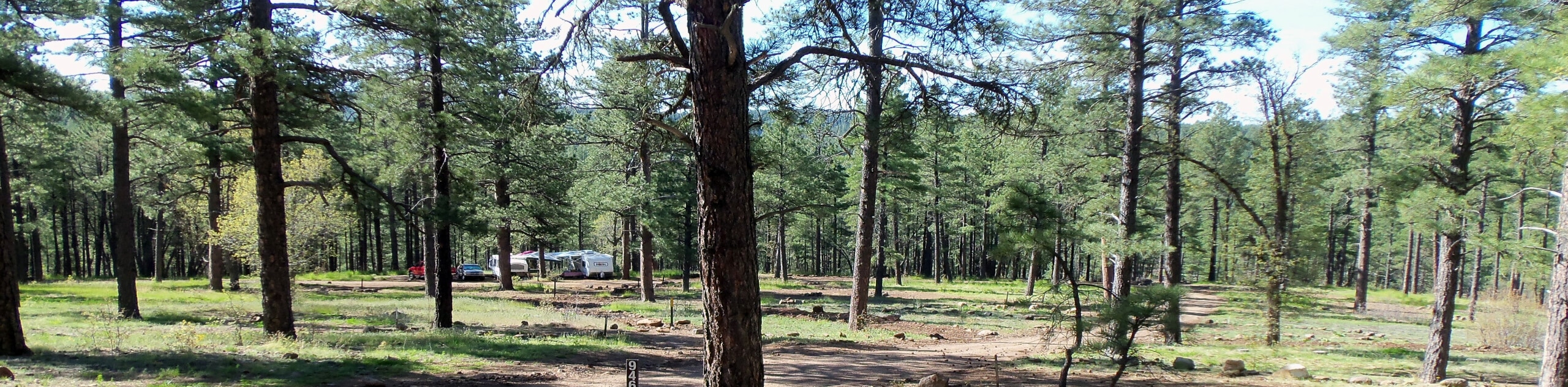
The Rocky Ridge Loop is a short, easy hike in the Schultz Creek Trail System on the flanks of the Dry Lake Hills in Flagstaff. This route is used by hikers, dog walkers, and mountain bikers. It mostly travels through the forest, and you’ll have the best experience if you hike when the wildflowers are out. The trail system can be a bit confusing, so consider bringing an offline map.
Getting there
The trailhead for Rocky Ridge Loop is on Schultz Pass Road.

About
| Backcountry Campground | No |
| When to do | March-October |
| Pets allowed | Yes - On Leash |
| Family friendly | Yes |
| Route Signage | Average |
| Crowd Levels | Low |
| Route Type | Lollipop |
Rocky Ridge Loop
Elevation Graph
Weather
Rocky Ridge Loop Description
The Rocky Ridge Loop is a hike that leads you through the trees at the base of the Dry Lake Hills in Flagstaff. This route mostly shows off the forest, so don’t expect big mountain views, but pick it on a day when you want some fresh air and the trees all around. This trail is also sometimes used by mountain bikers, so keep an eye out and share the trail.
There are a lot of interconnecting trails in this area, so consider bringing a GPS route or map if you’re unfamiliar with the routes. Sturdy boots are recommended as, true to the name, this trail is rocky.
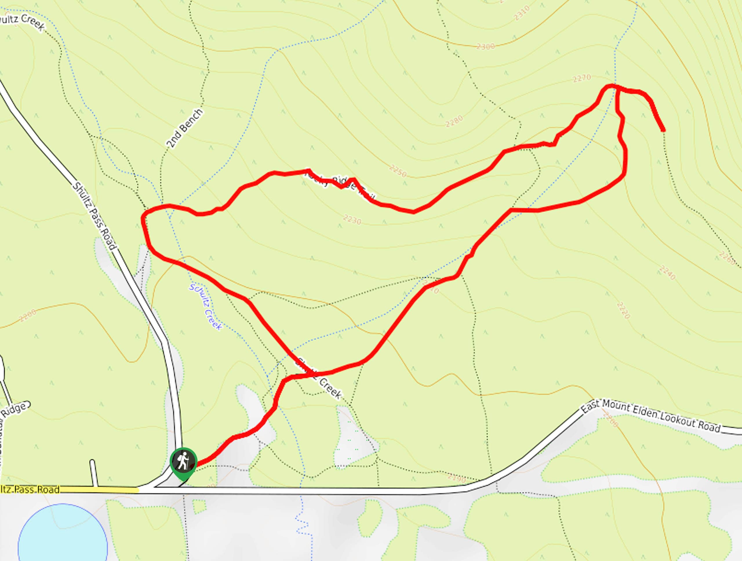
From the trailhead, take the Schultz Creek Access Trail to the split. Go right onto the Rocky Ridge Access Trail. Hike uphill to the top of the loop, then head straight through the next two junctions as you head downhill on the Arizona Trail-Rocky Ridge. You’ll turn left onto the Schultz Creek Access Trail to return to the starting point.
Similar hikes to the Rocky Ridge Loop hike

Fay Canyon Loop
Fay Canyon is one of several main canyons in the Walnut Canyon National Monument. This loop hike explores part of…
Pumphouse Nature Trail
Pumphouse Nature Trail is a short and pleasant walk in Kachina Village, Arizona. This route is only 1.1mi…
Doney Mountain Trail
Doney Mountain Trail is a short hike in the far northeastern corner of Sunset Crater Volcano National Monument. This route…
Comments