Raspberry Spring via Inner Basin Trail
View Photos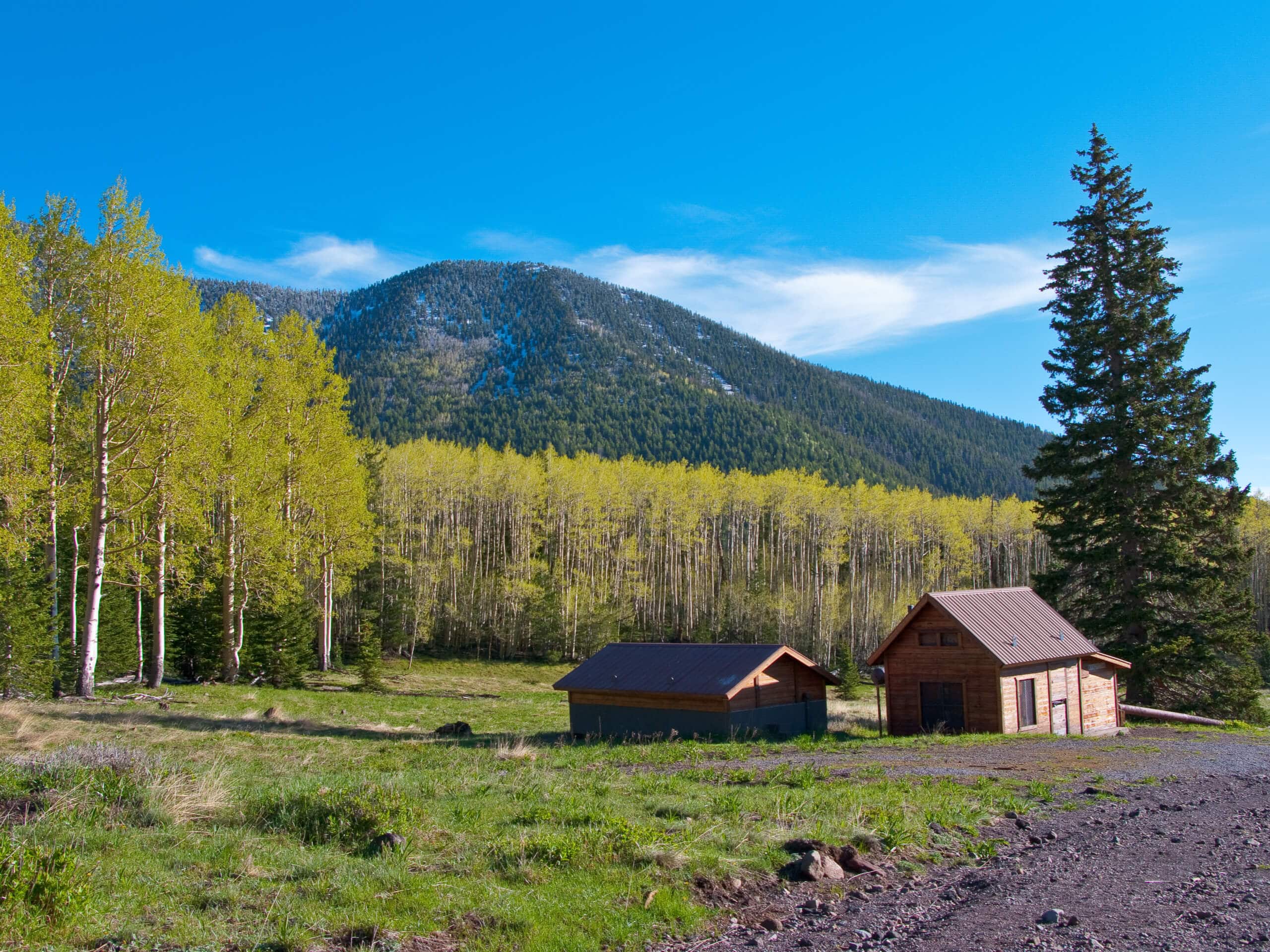
Raspberry Spring via Inner Basin Trail
Difficulty Rating:
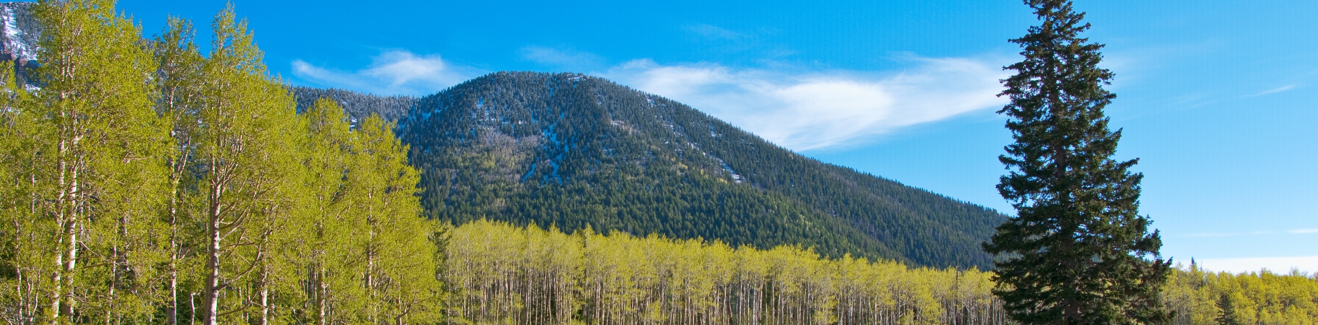
Raspberry Spring via Inner Basin Trail leads you through a stunning aspen forest into a basin in the Kachina Peaks Wilderness. The basin is tucked underneath some of Arizona’s tallest mountains–Humphreys Peak, Aubineau Peak, and Rees Peak. This route passes through the aspen forest, which is a bit of a famous spot for locals who flock here in the autumn to see the gorgeous golden leaves. Expect heavy traffic.
Getting there
The trailhead for the Raspberry Spring via Inner Basin Trail is in the Lockett Meadow Campground.

About
| Backcountry Campground | Lockett Meadow Campground |
| When to do | May-October |
| Pets allowed | Yes - On Leash |
| Family friendly | Yes |
| Route Signage | Average |
| Crowd Levels | High |
| Route Type | Out and back |
Raspberry Spring via Inner Basin Trail
Elevation Graph
Weather
Raspberry Spring via Inner Basin Trail Description
The Lockett Meadow Inner Basin is renowned for its gorgeous views, and the Raspberry Spring via Inner Basin Trail is one of the routes you can use to explore this beautiful area. The basin is underneath the tallest mountains in the state, and the path to it takes you through a beautiful aspen forest. In the fall when the aspens turn color, this is definitely the place to be.
This hike takes you through beautifully varied terrain, leading from the campsite through the pine trees and aspens, and up to the foothills for some amazing mountain views. We recommend timing this hike for when the wildflowers are in bloom, which tends to be early-mid summer, or when the fall colors are at their best, which is normally late September through late October.
The trailhead for the Raspberry Spring via Inner Basin Trail is at the very back of the day-use parking area. You’ll start by hiking through a mature pine forest. Since most of the elevation gain on this hike occurs near the midpoint, you can enjoy a fairly relaxed beginning. The pine trees give way to aspens, and the contrast of the white bark against green grass is a treat to see. There are occasionally people and families taking photos in these trees. In the fall, it’s spectacular.
Begin a set of switchbacks towards the inner basin. Once there, the route will take you to its endpoint at the spring. From here, turn back and retrace your steps.
Similar hikes to the Raspberry Spring via Inner Basin Trail hike

Fay Canyon Loop
Fay Canyon is one of several main canyons in the Walnut Canyon National Monument. This loop hike explores part of…

Sandy Steps, Heart, and Upper Oldham Trail
The Sandy Steps, Heart, and Upper Oldham hike makes use of several different trails to create a hike that stretches…

Fisher Point via Fay Canyon
Fisher Point is one of the best viewpoints into the gorgeous Walnut Canyon. This route leads you to the point…
Comments