Humphreys Peak, Weatherford, and Kachina Loop
View Photos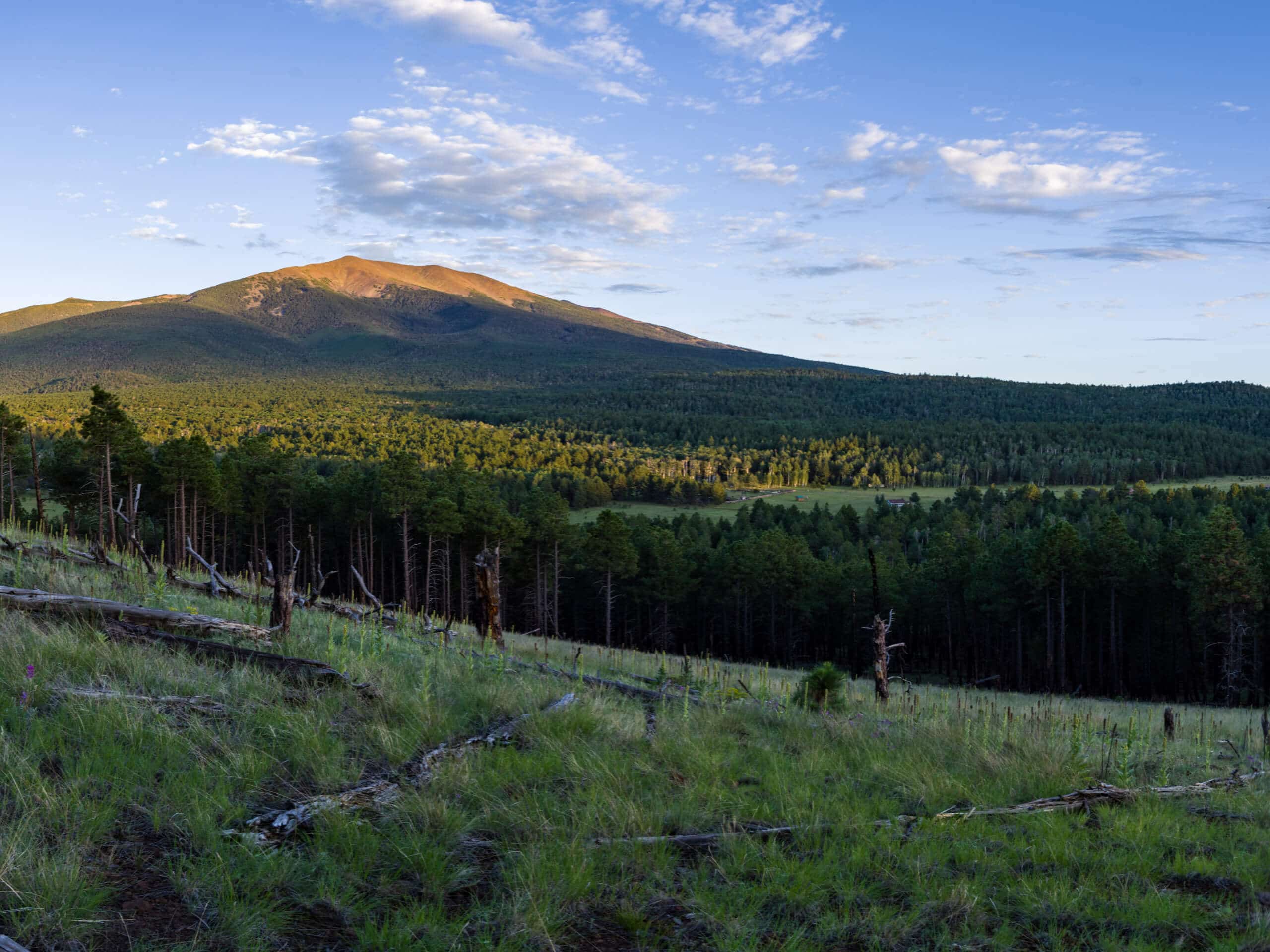
Humphreys Peak, Weatherford, and Kachina Loop
Difficulty Rating:
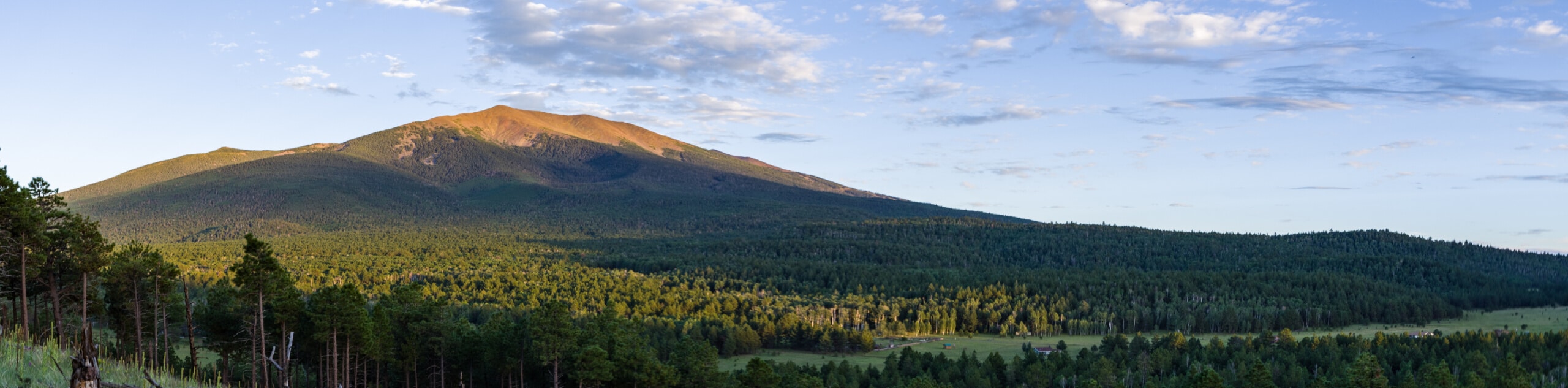
Find some of the best mountain views of the Kachina Peaks Wilderness on the Humphreys Peak, Weatherford, and Kachina Loop. This hike combines three of the main trails in the San Francisco Peaks to loop you through some of the highest elevation terrain in the state. The entire loop is possible in a day, but it will test your limits. Rim to Rim hikers often use this route to condition. Note that this hike doesn’t summit any mountains, but you could add on summits if you were backpacking (or just exceptionally fast and fit).
Getting there
The trailhead for the Humphreys Peak, Weatherford, and Kachina Trail Loop is on Snow Bowl Road.

About
| Backcountry Campground | No |
| When to do | April-October |
| Pets allowed | Yes - On Leash |
| Family friendly | No |
| Route Signage | Poor |
| Crowd Levels | Low |
| Route Type | Loop |
Humphreys Peak, Weatherford, and Kachina Loop
Elevation Graph
Weather
Humphreys Peak, Weatherford, and Kachina Loop Description
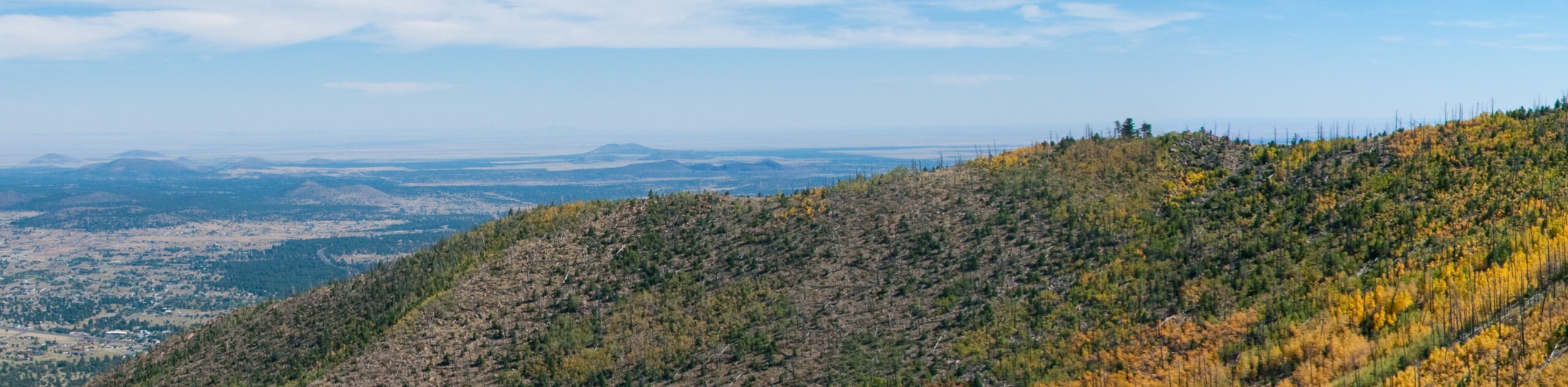
Earn amazing views of the Kachina Peaks Wilderness and its sea of mountains from right in the midst of it all on the Humphreys Peak, Weatherford, and Kachina Loop. This 18-mile adventure will demand a full sunup to sundown day to complete, but it’s a good way to train for Rim to Rim or just push your limits.
Prepare for high altitude with lots of water, some snacks, weather-appropriate layers of clothing, sturdy boots, and poles. Speaking of elevation gain, users from low-altitude locations have reported symptoms of altitude sickness on this hike. If you’re concerned about the altitude, take a day or two to acclimatize in Flagstaff before hiking, and plan to bring extra water with you on the trail.
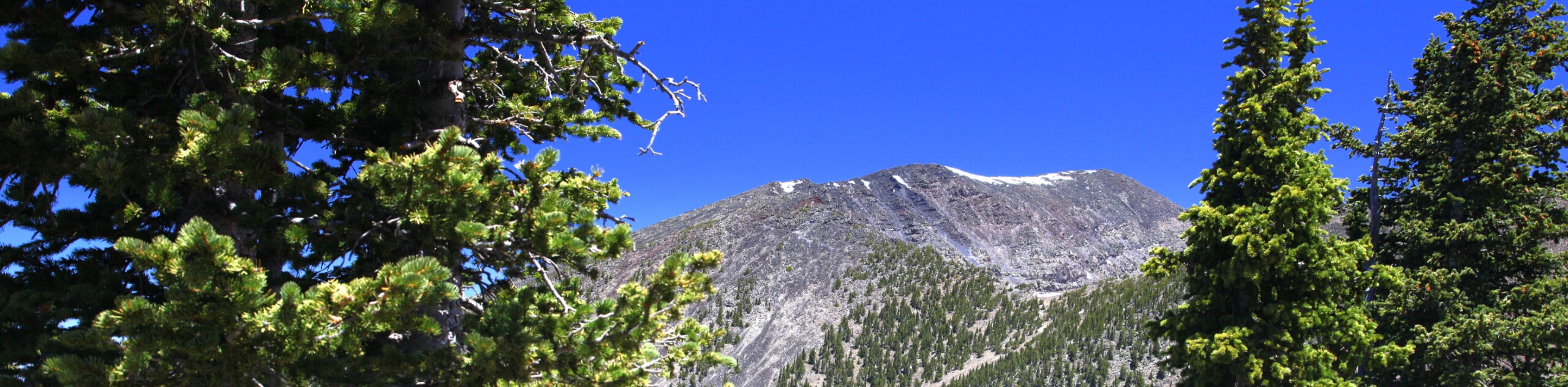
The route starts at the Snow Bowl. The first 3.0mi climb gradually. Stay left on the second switchback and then continue through wide, consistent switchbacks. You’ll pass not far from the B-24 bomber crash site, where there’s a viewpoint. At the ridge, turn right to pass Agassiz Peak. Here, you will switchback down the eastern side of the peak and then traverse underneath Fremont Peak towards Doyle Peak.
Descend through steep switchbacks down the southeastern flanks of Fremont Peak with a view of Schultz Peak cross from you. Take Kachina Trail west and then northwest around the base of Agassiz Peak to the trailhead.
Similar hikes to the Humphreys Peak, Weatherford, and Kachina Loop hike
Humphrey's Peak via Inner Basin Trail
Humphrey's Peak via Inner Basin Trail leads you through a stunning aspen forest in the Kachina Peaks Wilderness all the…
Sunset Trail South to North
The Sunset Trail South to North covers the whole length of one of the main routes that travels up and…
Elden Lookout, Sunset, and Heart Loop
The Elden Lookout, Sunset, and Heart Loop is a hard hike near Flagstaff that leads you up Elden Mountain and…
Comments