
Observatory Mesa Trail
View Photos
Observatory Mesa Trail
Difficulty Rating:
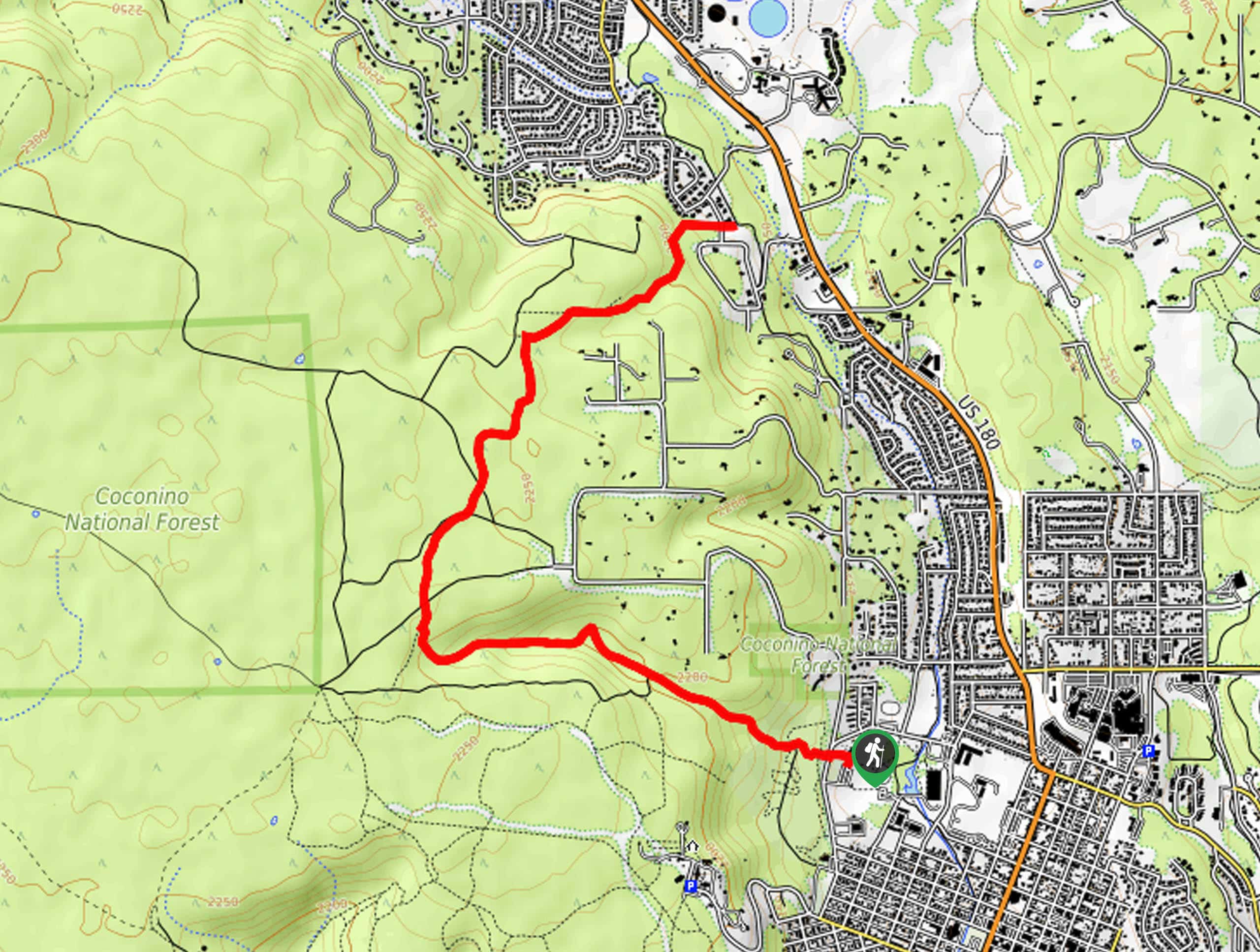
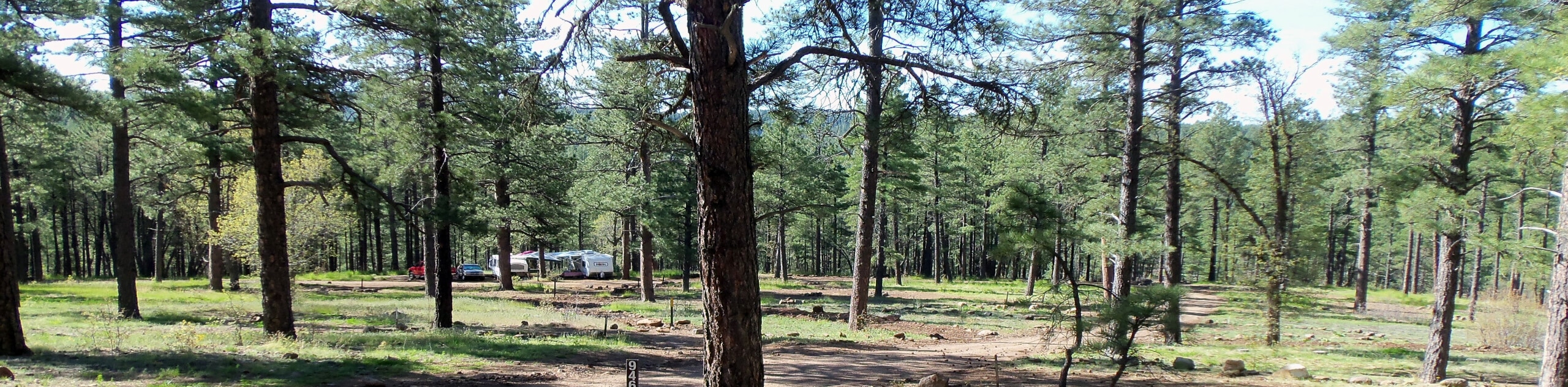
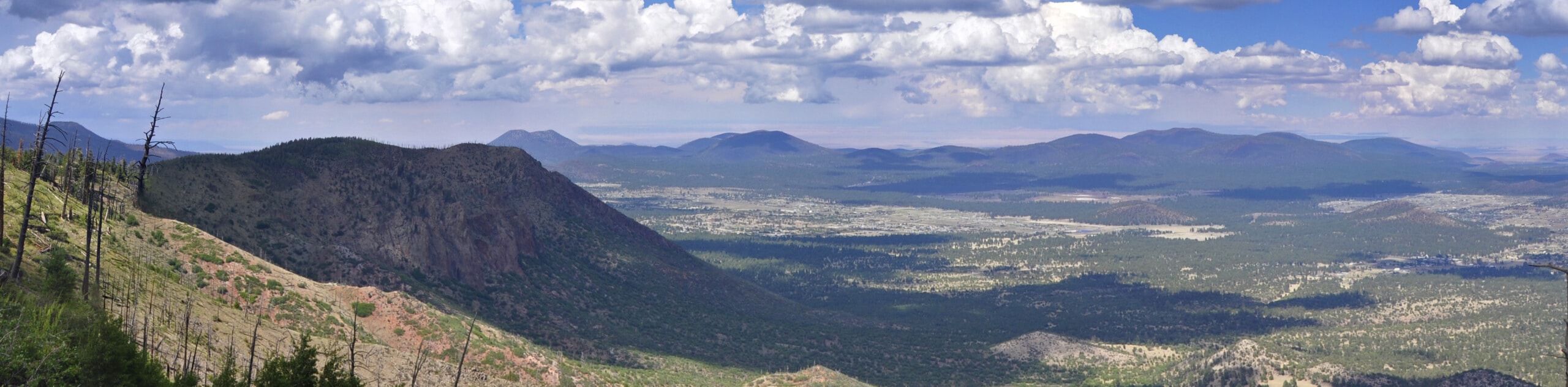
The Observatory Mesa Trail takes you through the forest to the top of Observatory Mesa. You'll enjoy glimpses of the mountains from this hike, and while the views aren’t the most far-reaching around, the trip amongst the trees is very pleasant. It’s a steady climb up, but once you’re on the mesa you can stroll quite a ways along its flat top. Expect moderate traffic on this route.
Getting there
The trailhead for the Observatory Mesa Trail is off N Thorpe Road.

About
| Backcountry Campground | No |
| When to do | March-November |
| Pets allowed | Yes - On Leash |
| Family friendly | Yes |
| Route Signage | Average |
| Crowd Levels | Moderate |
| Route Type | Out and back |
Observatory Mesa Trail
Elevation Graph
Weather
Observatory Mesa Trail Description
The Observatory Mesa Trail is a hike that straddles the line between urban and remote. While it starts from within Flagstaff, it quickly makes you feel like you’re a ways away from the city. With an enjoyable trek through the ponderosa pines stretched ahead of you, this is a pleasant adventure that won’t take all day to get to or enjoy.
There is okay signage on this trail, but there are lots of junctions. Consider downloading your GPS track ahead of time to help mitigate navigational challenges.
From the trailhead, cross N Thorpe Road and take Mars Hill Trail up the side of the mesa, a consistent but fairly gentle climb. Atop the mesa, turn right onto Observatory Mesa Trail. This route will bring you to the edge of the mesa, where you can enjoy the view of the city and the Dry Lake Hills beyond. When you’re ready, turn around and retrace your steps to the trailhead.
Similar hikes to the Observatory Mesa Trail hike

Fay Canyon Loop
Fay Canyon is one of several main canyons in the Walnut Canyon National Monument. This loop hike explores part of…
Pumphouse Nature Trail
Pumphouse Nature Trail is a short and pleasant walk in Kachina Village, Arizona. This route is only 1.1mi…
Doney Mountain Trail
Doney Mountain Trail is a short hike in the far northeastern corner of Sunset Crater Volcano National Monument. This route…
Comments