Ponderosa Trails Park Hike
View Photos
Ponderosa Trails Park Hike
Difficulty Rating:
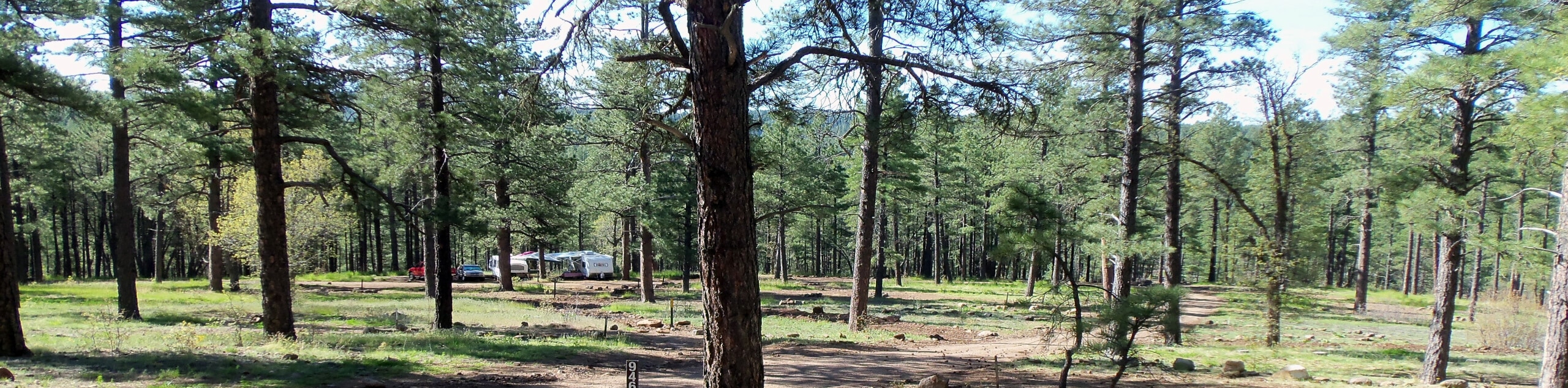
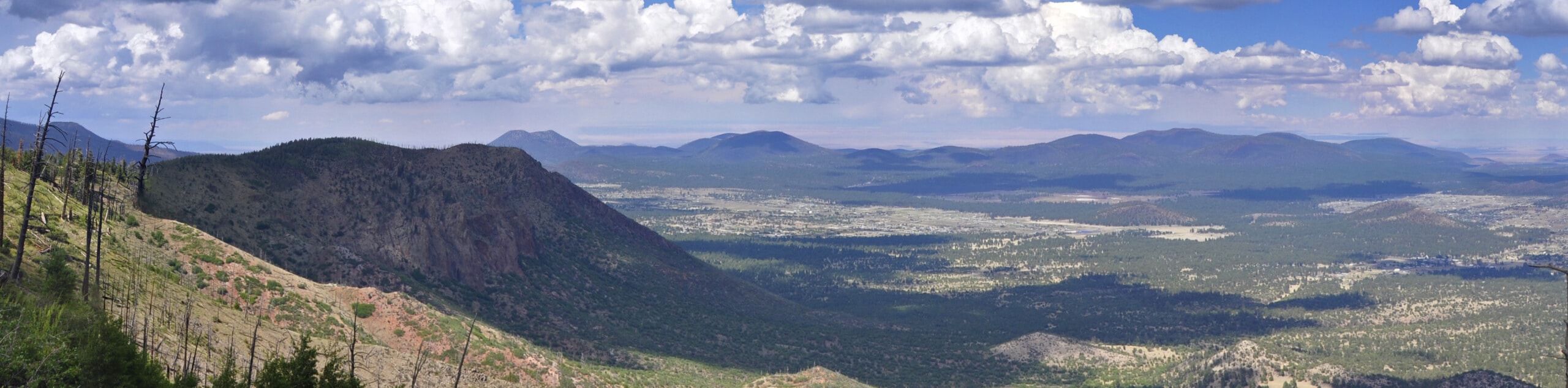
In the neighborhood of Ponderosa Trails in Flagstaff, there is a trail system that centers around Ponderosa Trails Park. True to its name, these trails are dotted with ponderosas, but there are also gorgeous carpets of wildflowers in the summer. If you live nearby, give it a try for your next walk in the park. This route is easy enough for all ages.
Getting there
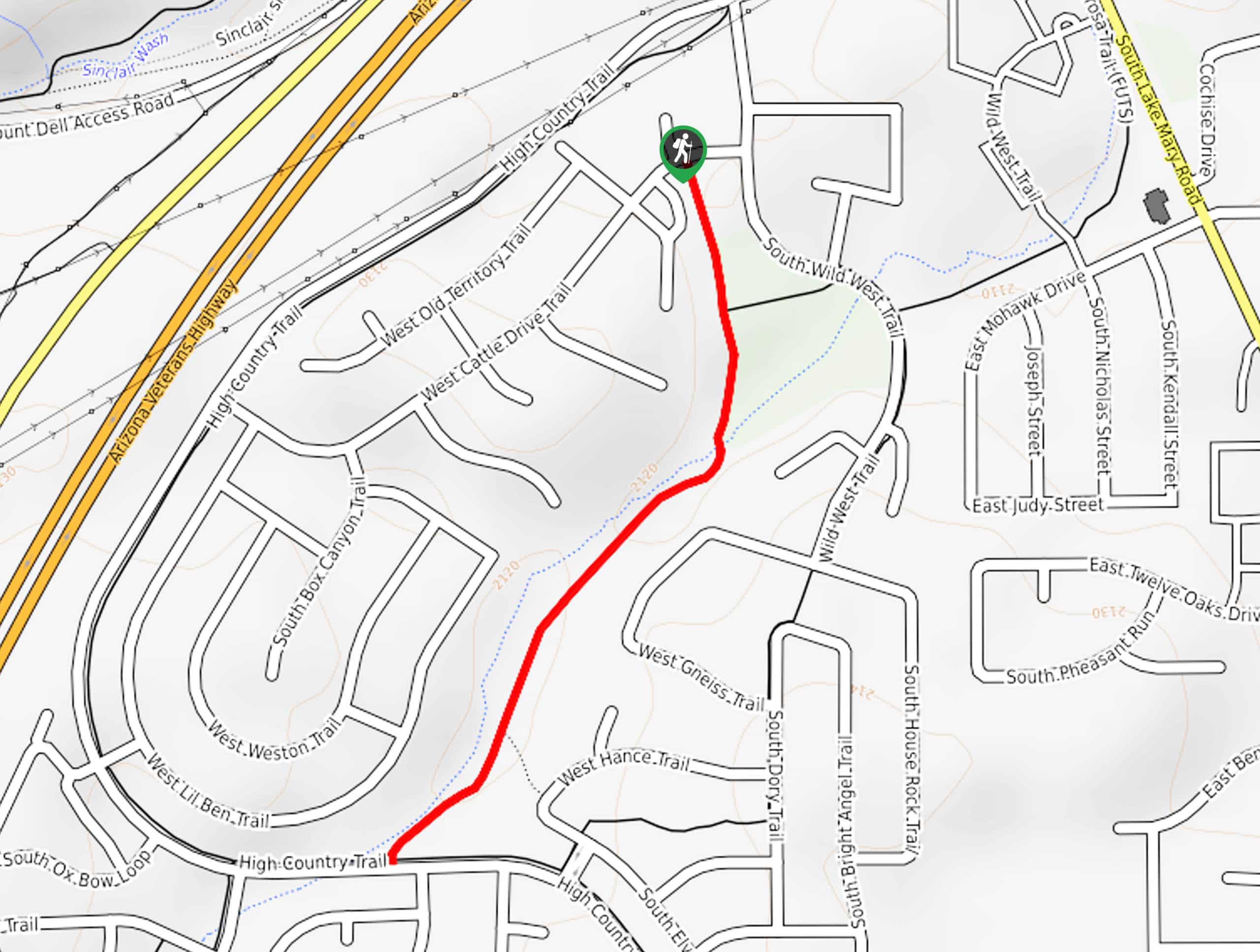
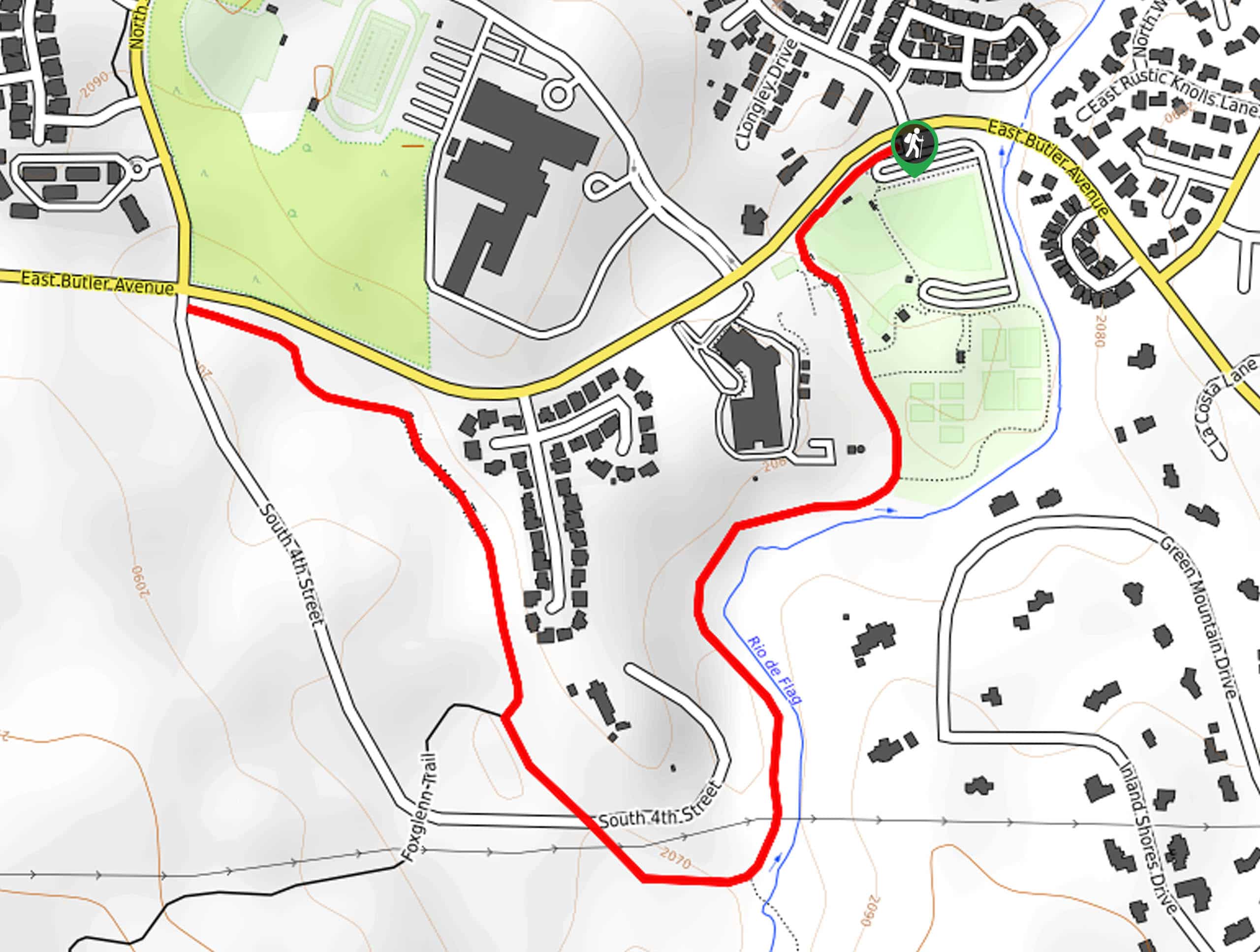
The trailhead for Ponderosa Trails Park Hike is on W Cattle Drive Trail.

About
| Backcountry Campground | No |
| When to do | March-November |
| Pets allowed | Yes - On Leash |
| Family friendly | Yes |
| Route Signage | Average |
| Crowd Levels | Low |
| Route Type | Out and back |
Ponderosa Trails Park Hike
Elevation Graph
Weather
Ponderosa Trails Park Hike Description
In the neighborhood of Ponderosa Trails in Flagstaff, there are a couple of pleasant hiking trails that begin from Ponderosa Trails Park. These routes are easy, kid-friendly, dog-friendly on leash, and perfect for an evening or morning stroll. This hike is stroller-friendly and mostly used by walkers and runners. Consider bringing a book or a picnic to enjoy in the park after your walk.
You’ll have to park in a residential area for this hike, so just remember to park away from others’ driveways. From the trailhead on W Cattle Drive Trail near the charter school, hike towards the park. The route hugs the eastern border of the park. Once you reach the edge of the park, go right to hike along the ravine. The route ends at High Country Trail, where you can turn back and retrace your steps.
Similar hikes to the Ponderosa Trails Park Hike hike
Pumphouse Nature Trail
Pumphouse Nature Trail is a short and pleasant walk in Kachina Village, Arizona. This route is only 1.1mi…
Doney Mountain Trail
Doney Mountain Trail is a short hike in the far northeastern corner of Sunset Crater Volcano National Monument. This route…
Switzer Wash Trail via Foxglenn Trail
Switzer Wash Trail via Foxglenn Trail is a short but sweet hike in Flagstaff. This 2.8mi hike begins…
Comments