
Marshall Lake to Fisher Point Hike
View Photos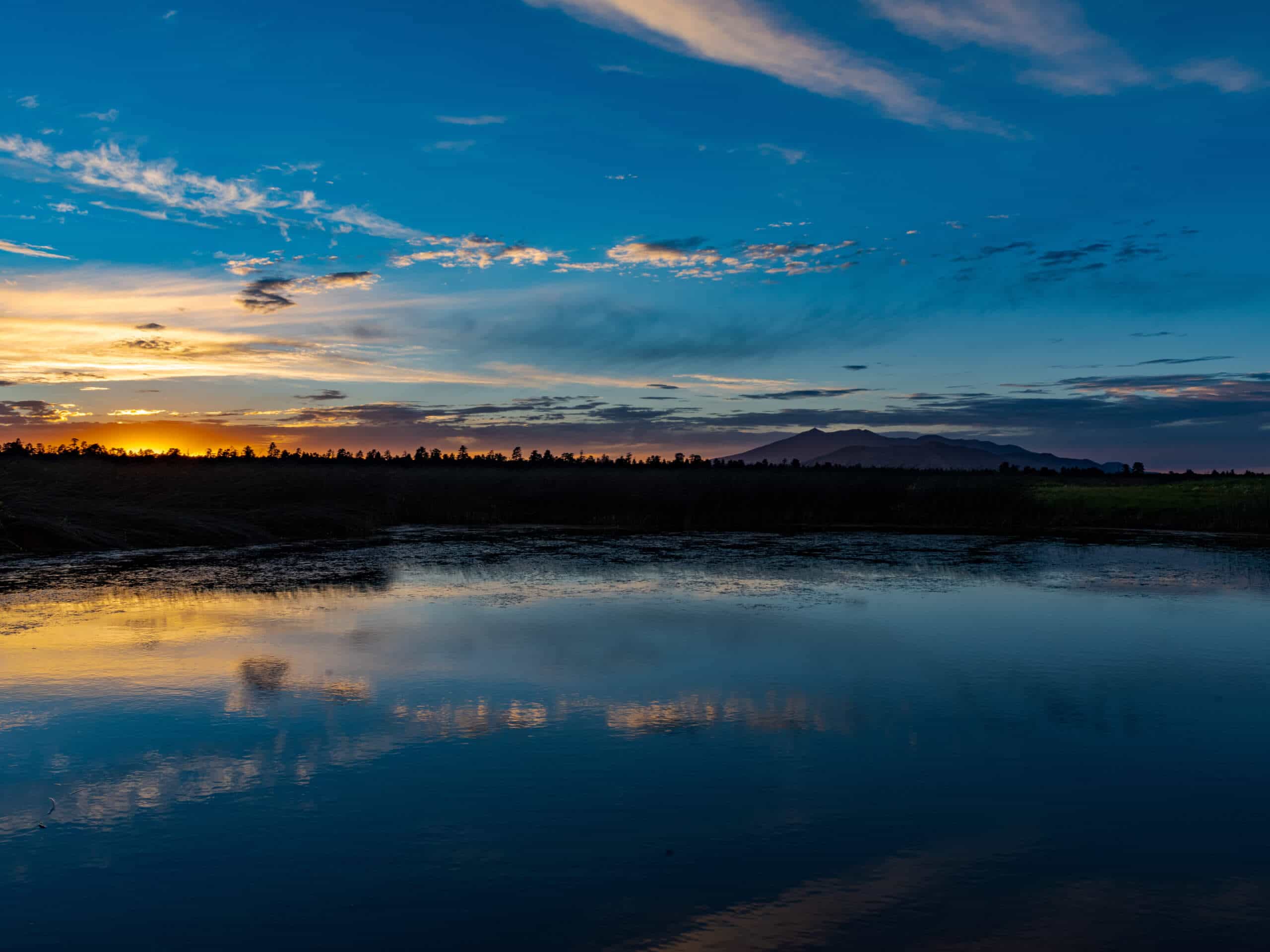
Marshall Lake to Fisher Point Hike
Difficulty Rating:
Fisher Point is one of the best viewpoints of Walnut Canyon. If you want to take the scenic route there, the hike from Marshall Lake is an exceptional way to do it. This is one of the longest approaches you can take, but hiking through the incredible rock layers and canyons en route to Walnut Canyon is a great way to do it. This is a good route for backpackers at Marshall Lake. It’s a long hike, so make sure you come prepared.
Getting there
The trailhead for Marshall Lake to Fisher Point Hike is off Forest Service Road 128.

About
| Backcountry Campground | Marshall Lake Dispersed Camping |
| When to do | April-November |
| Pets allowed | Yes - On Leash |
| Family friendly | No |
| Route Signage | Poor |
| Crowd Levels | Moderate |
| Route Type | Out and back |
Marshall Lake to Fisher Point Hike
Elevation Graph
Weather
Marshall Lake to Fisher Point Hike Description
Fisher Point is a viewpoint over Walnut Canyon not far outside of Flagstaff in the Coconino National Forest. Walnut Canyon is quite beautiful, and you can appreciate the layers of rock visible in the canyon walls, which are the same layers you’d observe in the nearby Grand Canyon. Also, appreciate that there used to be a thriving pueblo community in this canyon!
This route to the canyon is the longest one commonly taken to get there, but there isn’t that much elevation gain, so it’s doable in a long day. Bring lots of water.
The route to Fisher Point from Marshall Lake has you hike through part of a connecting canyon, which is a gorgeous part of the trail. The scenery won’t disappoint. From the trailhead, take the AZT-Walnut Canyon towards the canyon. Pass Marshall Mesa Tank and cross a ravine. The route weaves back and forth before beginning a switchback descent into the canyon. Hike along the canyon floor. Fisher Point will be ahead of you once you reach the intersecting canyon. From here, turn back and retrace your steps.
Similar hikes to the Marshall Lake to Fisher Point Hike hike

Fay Canyon Loop
Fay Canyon is one of several main canyons in the Walnut Canyon National Monument. This loop hike explores part of…

Sandy Steps, Heart, and Upper Oldham Trail
The Sandy Steps, Heart, and Upper Oldham hike makes use of several different trails to create a hike that stretches…

Fisher Point via Fay Canyon
Fisher Point is one of the best viewpoints into the gorgeous Walnut Canyon. This route leads you to the point…
Comments