
Lower Brookbank, Upper Brookbank, Upper Red Onion Loop
View Photos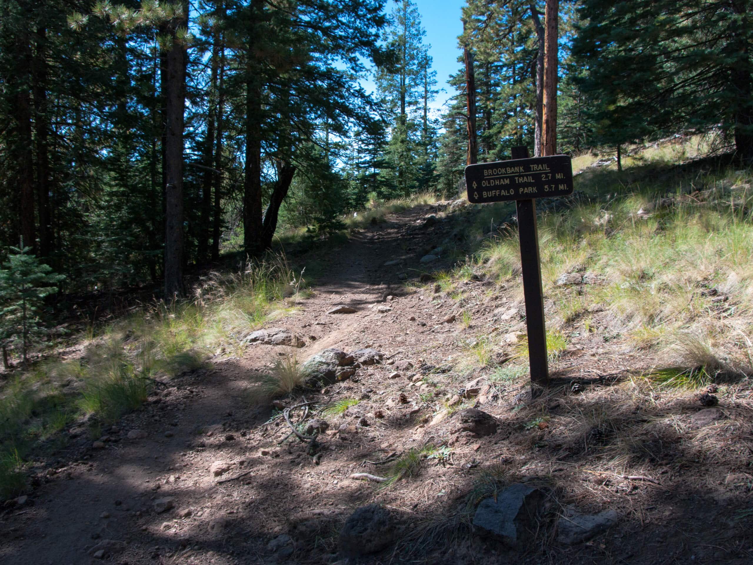
Lower Brookbank, Upper Brookbank, Upper Red Onion Loop
Difficulty Rating:
The Lower Brookbank, Upper Brookbank, and Upper Red Onion Loop is a hike that makes use of three different trails between the Dry Lake Hills and Elden Mountain and T V Hill. This hike mixes a bit of light elevation gain with pleasant views of the mountains and hills that immediately surround you here. This trail is a bit rocky, so you’ll want sturdy boots. Expect light traffic on this hike.
Getting there
The trailhead for Lower Brookbank, Upper Brookbank, Upper Red Onion Loop is on the Elden Lookout Road.

About
| Backcountry Campground | No |
| When to do | April-November |
| Pets allowed | Yes - On Leash |
| Family friendly | Older Children only |
| Route Signage | Average |
| Crowd Levels | Low |
| Route Type | Lollipop |
Lower Brookbank, Upper Brookbank, Upper Red Onion Loop
Elevation Graph
Weather
Lower Brookbank, Upper Brookbank, Upper Red Onion Loop Description
The Lower Brookbank, Upper Brookbank, Upper Red Onion Loop is a less-traveled but rewarding adventure that leads you between the Dry Lake Hills and Little Elden/Elden Mountains and T V Hill. This hike shows off the nearby mountains and the beauty of the forest. Dogs on leash are welcome.
You’ll want to wear sturdy boots for this hike since the trail is quite rocky. Additionally, some of the junctions in this area aren’t marked well, so a GPS route can help you find your way if needed.
From the trailhead, follow the Elden Lookout Road to the trail split. Stay left onto Brookbank Trail, making a gradual almost-loop around the hill east of the lake. Continue on Brookbank Trail until it turns into Sunset Trail, then take a right onto Upper Red Onion. With no onions in sight, you’ll gradually descend down onto Upper Oldham Trail, which takes you back to the starting point.
Similar hikes to the Lower Brookbank, Upper Brookbank, Upper Red Onion Loop hike

Fay Canyon Loop
Fay Canyon is one of several main canyons in the Walnut Canyon National Monument. This loop hike explores part of…

Sandy Steps, Heart, and Upper Oldham Trail
The Sandy Steps, Heart, and Upper Oldham hike makes use of several different trails to create a hike that stretches…

Fisher Point via Fay Canyon
Fisher Point is one of the best viewpoints into the gorgeous Walnut Canyon. This route leads you to the point…
Comments