Brookbank to Upper Oldham to Sunset Loop
View Photos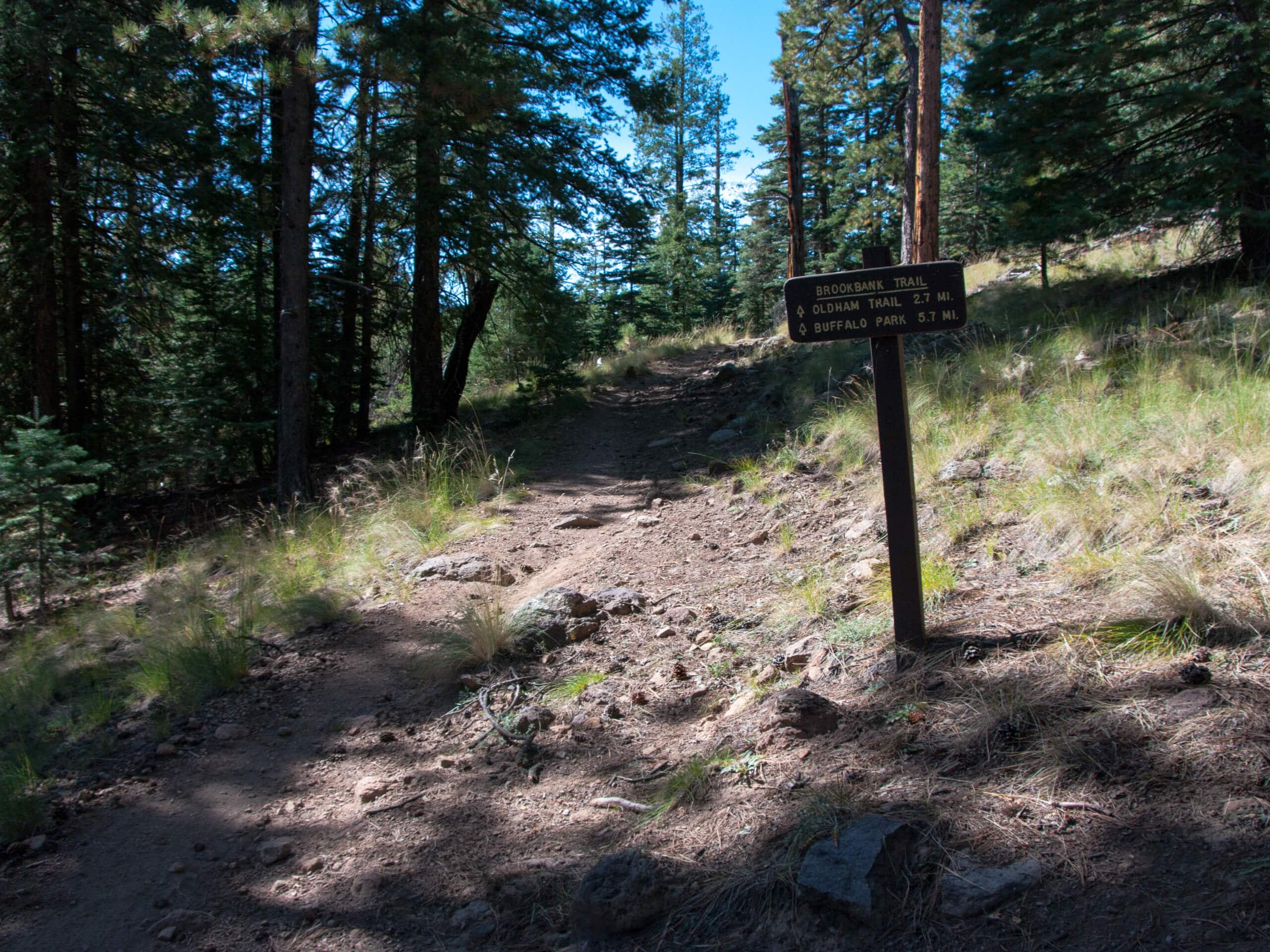
Brookbank to Upper Oldham to Sunset Loop
Difficulty Rating:
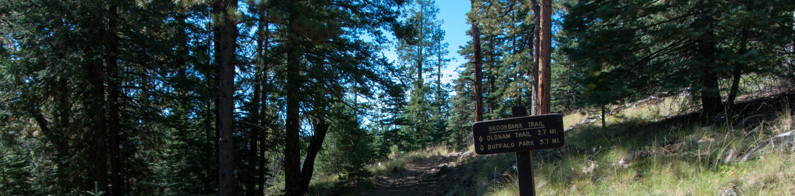
The Brookbank to Upper Oldham to Sunset Loop is a hike that makes use of three different trails between the Dry Lake Hills and Little Elden Mountain. This hike mixes some work with a scenic overlook on the ridge between Little Elden Mountain and Elden Mountain. It’s a bit rocky, so you’ll want sturdy boots. Expect light traffic on this hike.
Getting there
The trailhead for Brookbank to Upper Oldham to Sunset Loop is on the Elden Lookout Road.

About
| Backcountry Campground | No |
| When to do | April-November |
| Pets allowed | Yes - On Leash |
| Family friendly | Older Children only |
| Route Signage | Average |
| Crowd Levels | Low |
| Route Type | Lollipop |
Brookbank to Upper Oldham to Sunset Loop
Elevation Graph
Weather
Brookbank to Upper Oldham to Sunset Loop Description
The Brookbank to Upper Oldham to Sunset Loop is a scenic adventure that leads you between the Dry Lake Hills and Little Elden/Elden Mountains. This hike shows off mountain views and forest views on the trail. Dogs on leash are welcome. This hike travels through an area recovering from a wildfire, so be aware of the unique challenges and changes to the trails that may happen as a result, including road closures and temporary rerouting.
You’ll want to wear sturdy boots for this hike since the trail is quite rocky. Additionally, some of the junctions in this area aren’t marked well, so a GPS route can help you find your way if needed.
From the trailhead, follow the Elden Lookout Road to the trail split. Here, stay right onto Upper Oldham Trail. Bear left at the next fork and take on a few wide switchbacks before a set of narrow turns to the fork with Sunset Trail, where you’ll go left. Hike along this beautiful ridge, dropping off to the left to descend, then taking a left to return to the loop split. Retrace your steps from here to the trailhead.
Similar hikes to the Brookbank to Upper Oldham to Sunset Loop hike

Fay Canyon Loop
Fay Canyon is one of several main canyons in the Walnut Canyon National Monument. This loop hike explores part of…

Sandy Steps, Heart, and Upper Oldham Trail
The Sandy Steps, Heart, and Upper Oldham hike makes use of several different trails to create a hike that stretches…

Fisher Point via Fay Canyon
Fisher Point is one of the best viewpoints into the gorgeous Walnut Canyon. This route leads you to the point…
Comments